UPS is Bad at Delivering to a Marina

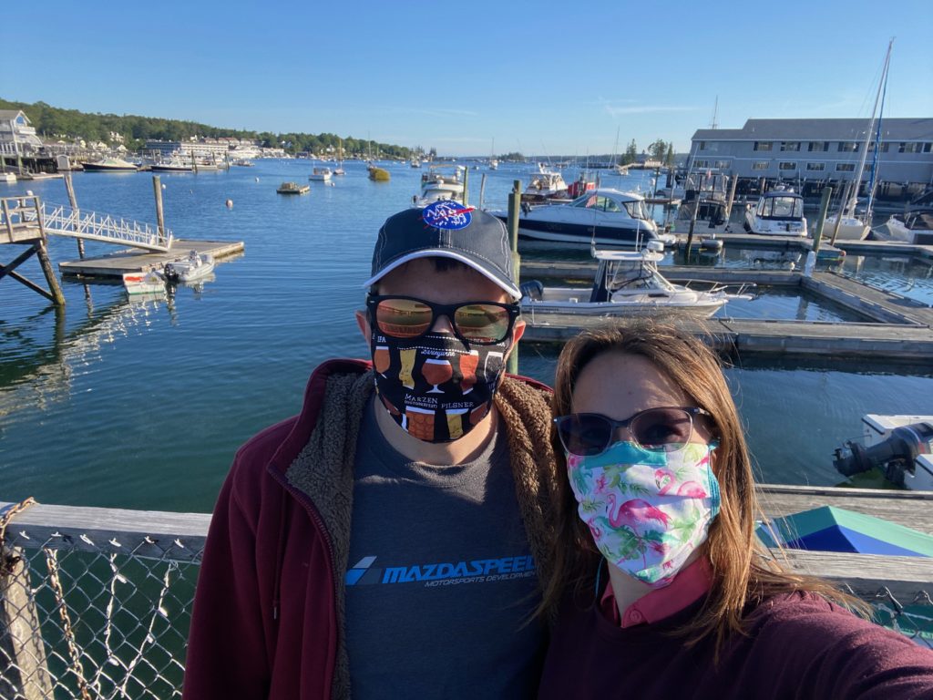
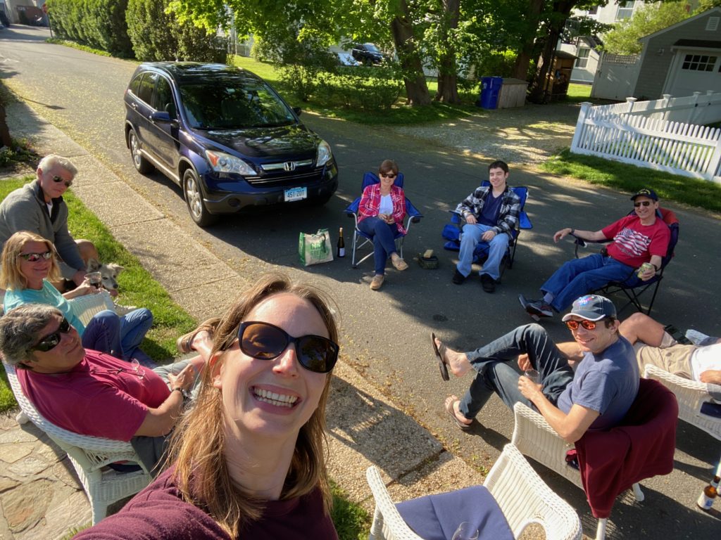
Our first destination after Hinkley’s was Buck’s Harbor. We had intended to anchor, but upon arriving in the small cove, we realized like most of Maine, that everything was taken up with either a mooring buoy field, or lobster pots, so we hooked onto a mooring and set up for the day. There was a small general store and restaurant within walking distance of the town, so I decided we’d do a quick provisioning and pick up some take-out, which turned out to be very delicious! Unfortunately we forgot to take pictures of this little outing, including the fact that I forgot to take off my lifejacket and was wearing it around the grocery store :).

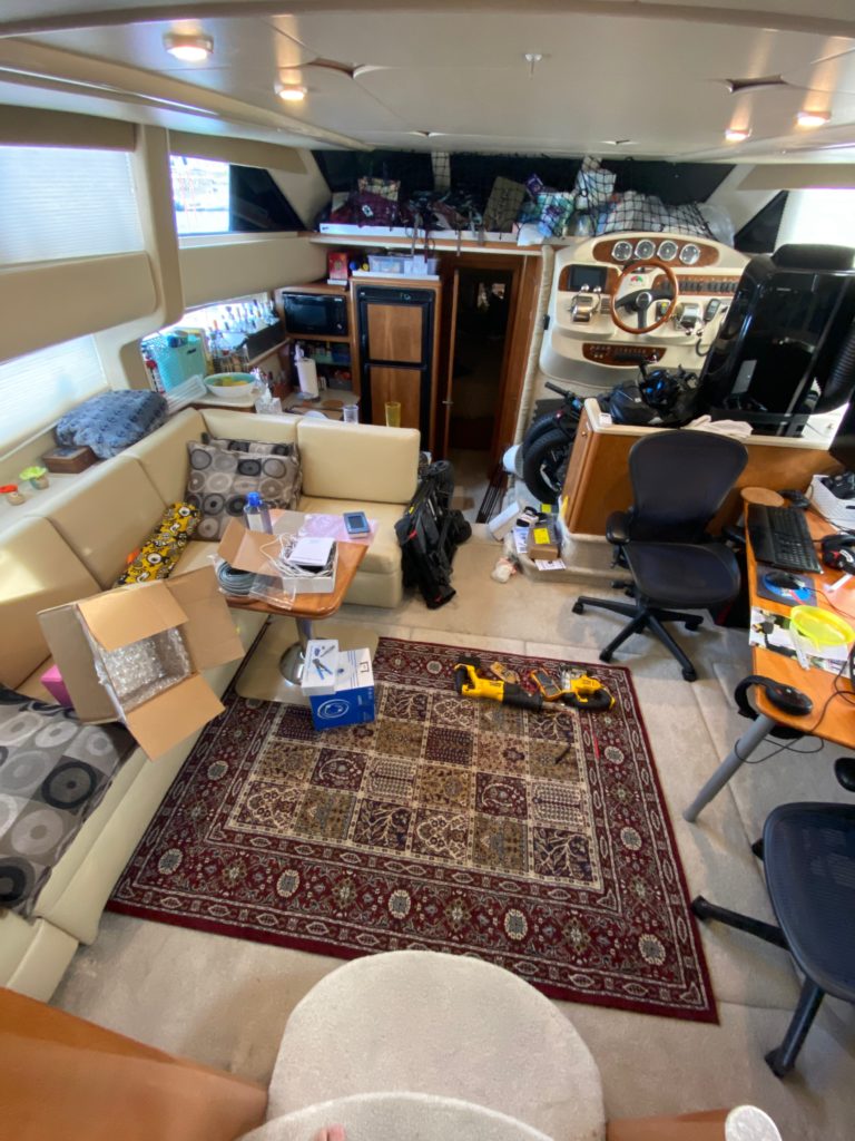
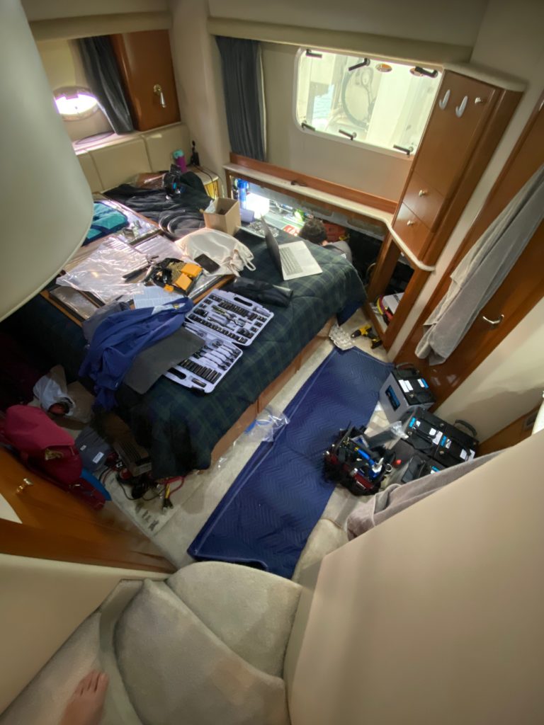
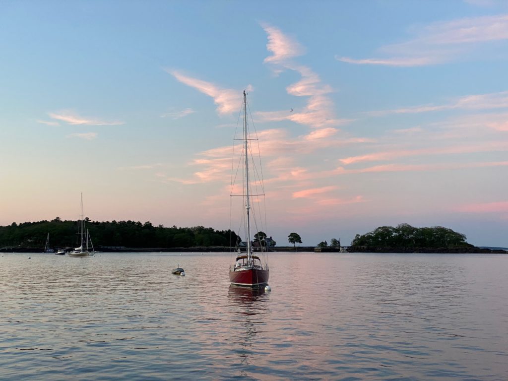
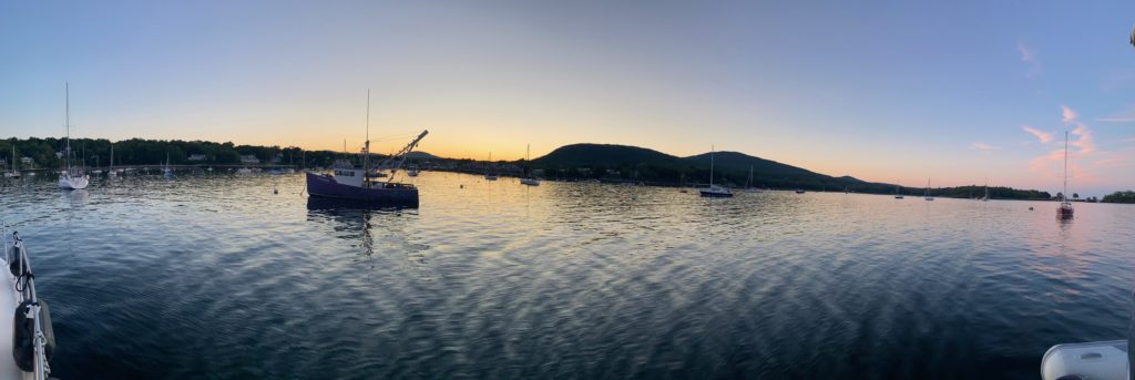
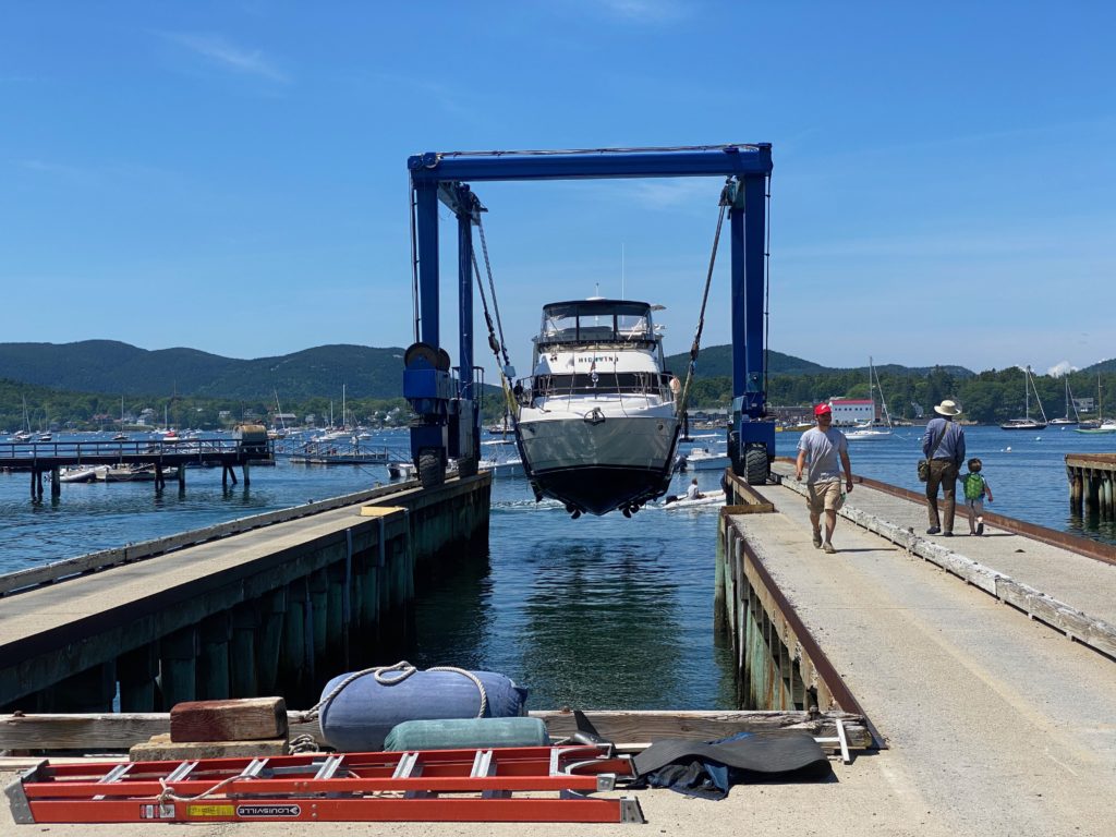
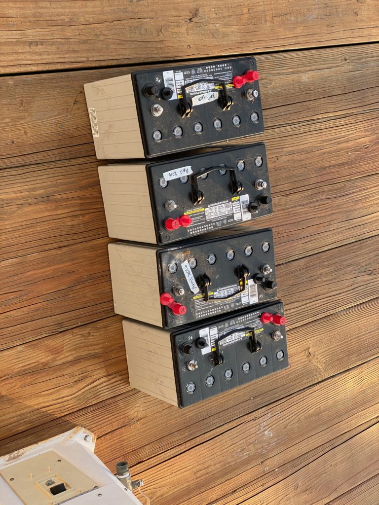
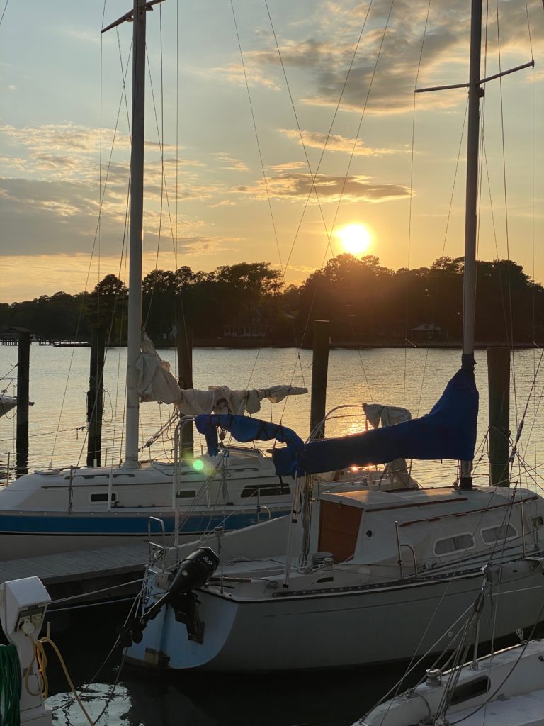
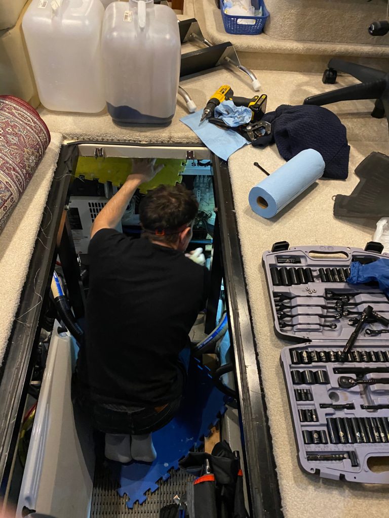
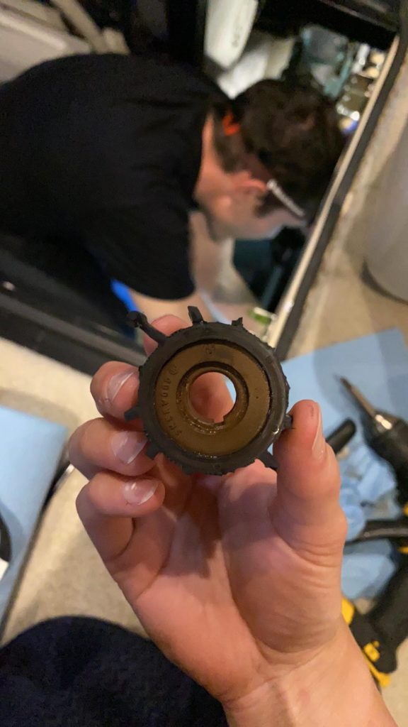
The next morning, we decided to head toward Pulpit Harbor, but as soon as we had exited Buck’s and started to engage the throttle, something immediately went wrong. The throttle cable connector on the port engine had broken!! Unfortunately we didn’t have any spares of this part on pard, but David was able to rig up a quick fix while we slowly drifted in a large open expanse of water. We decided to change our destination to Camden and overnight order a replacement (and some spares) to Wayfarers. We headed slowly into the harbor and grabbed one of Wayfarers’ mooring buoys. As it turned out, John and Joan were also staying in Camden, so we ended up having them over to the boat for a happy hour that evening.

The next morning, David was clicking refresh on the UPS page every 10 mins or so, tracking the delivery of our package. When we neared the delivery window time, he called in for a free lift to the dock to pick up the package. Upon arriving at the dock, nobody at Wayfarers had seen the package (nor signed for it, since it was signature required). The UPS delivery status showed as delivered. After a few calls, we heard a message from the driver – that he’d “left it on the dock”. LOL – there’s 100s of ft of dock at Wayfarer and the package was 3in square, let alone he was supposed to collect a signature. After lots of phone calls and waiting, we ultimately gave up and re-ordered the item overnight. Sadly, it was now Friday, meaning that the package would not arrive until Monday. Since we were sick of dealing with Wayfarer (remember we’d previously spent a week waiting for them to haul our boat), we decided to have the package delivered to a different marina – Tenants Harbor. One good thing to come out of our stay in Camden was that we borrowed the marina’s courtesy car to drive for a huge grocery run.

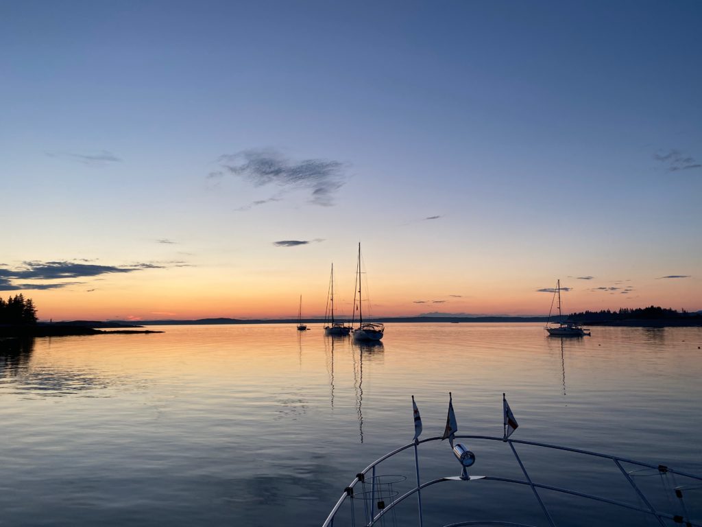
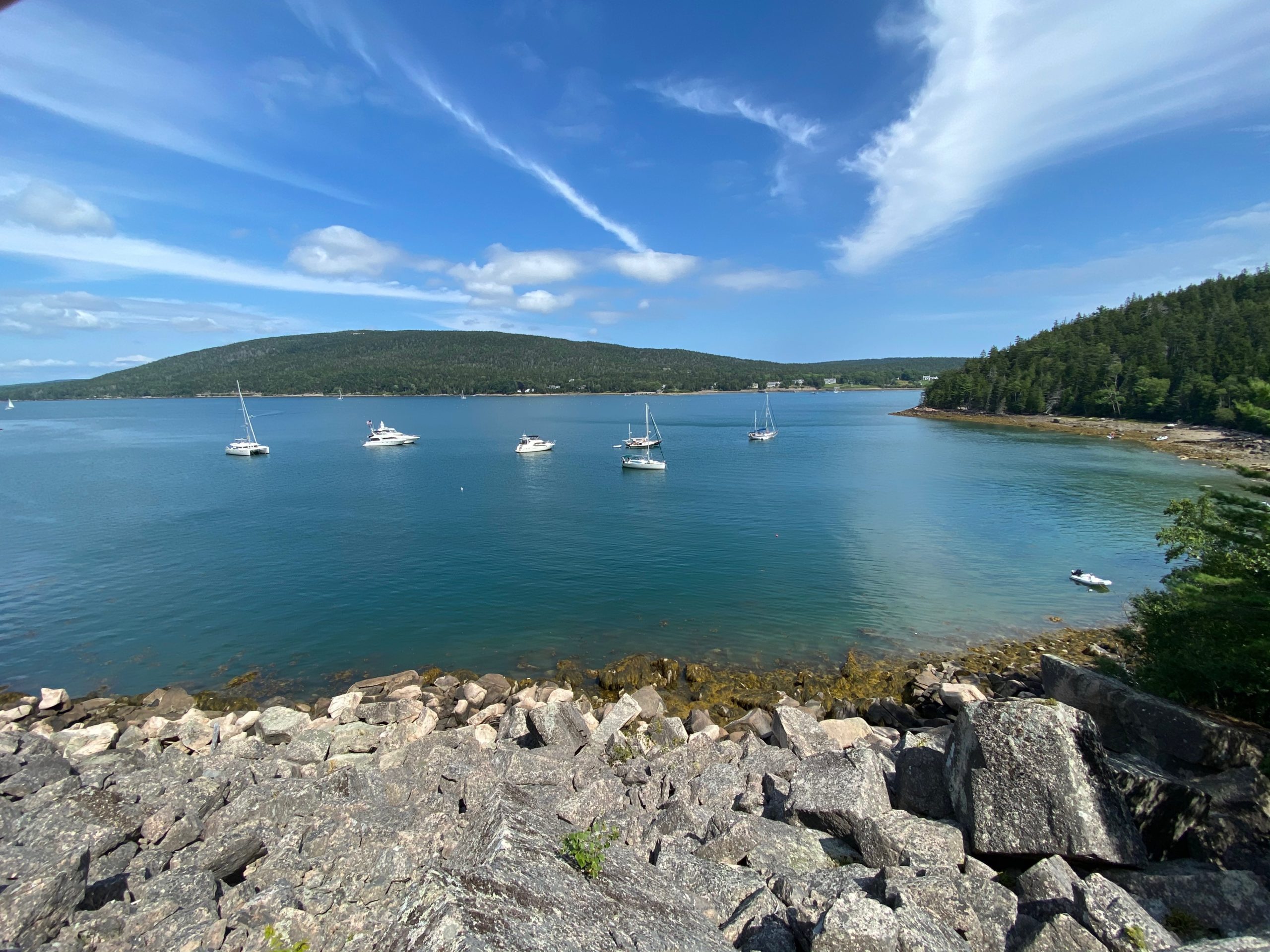
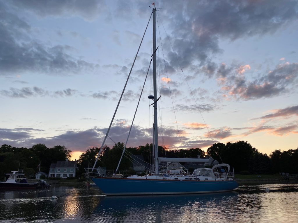
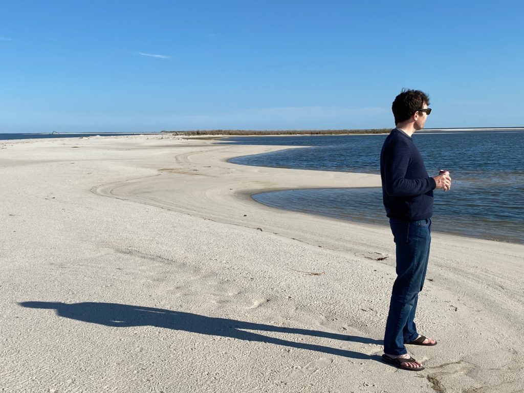
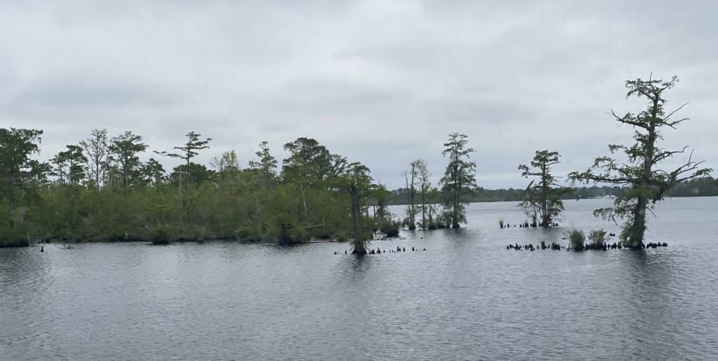
John and Joan were heading to Dix Island for the weekend, which wasn’t too far from both Camden and Tenants, so we decided to join them. It turned out to be a beautiful anchorage. By the time we arrived there were already several other boats on anchor, and of course this being Maine, the whole space was also filled with lobster pots. We dropped anchor and set up for the weekend, though we were a little concerned about the proximity of lobster pots in our swing radius.

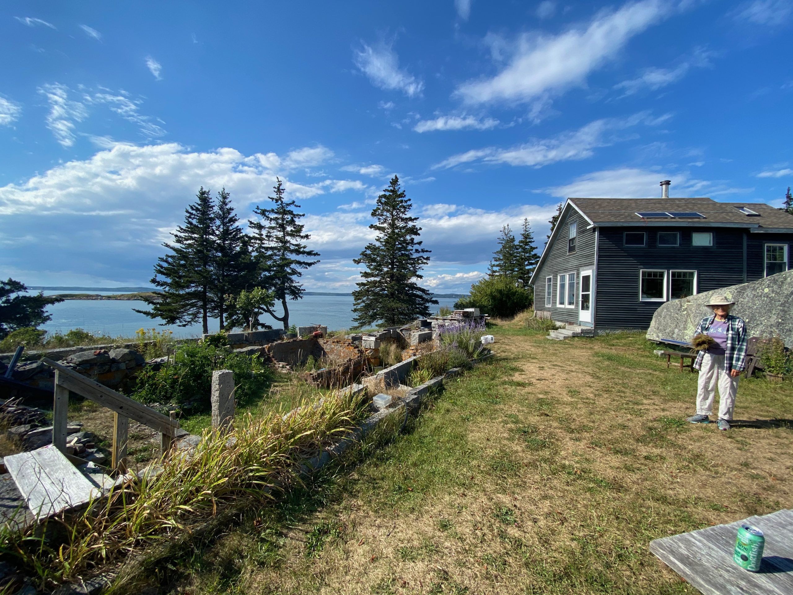
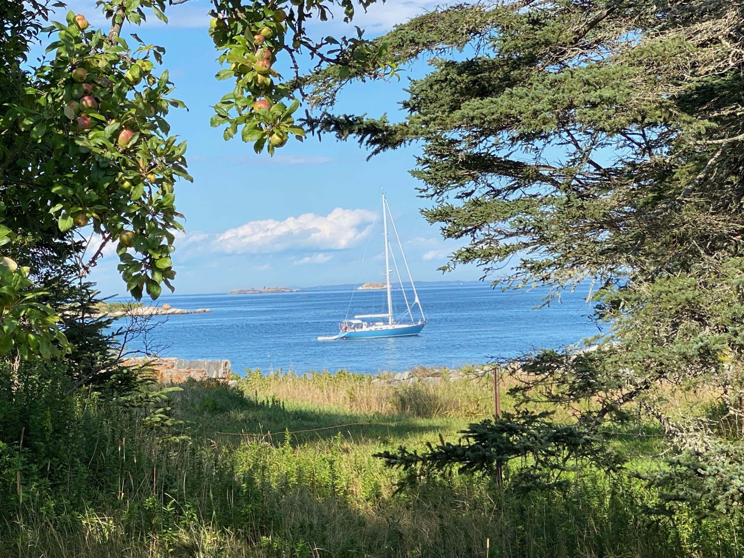
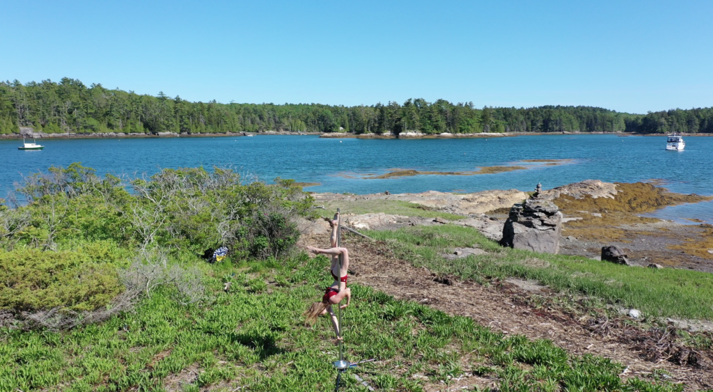
Dix Island has a very interesting history and is currently owned by a co-op of individuals who reside on the island with no electricity or infrastructure. The residents are nice enough to have marked a public path around the island (about a 1 mile walk). While on the walk, we ran into one of the residents, who graciously showed us her property which is one of the few remaining original structures on the island from where there used to be an active quarry. Her house used to be the maid’s quarters and the original house is now a ruin which houses her vegetable garden. She shared with us some of the history of the island and was very friendly.

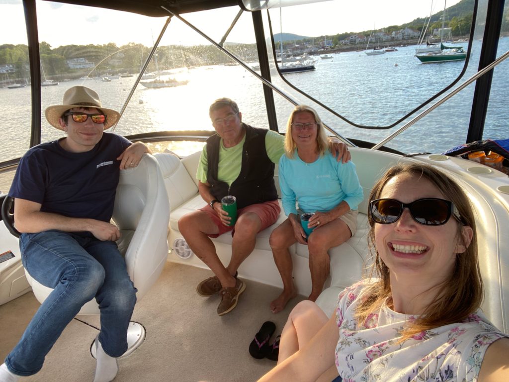
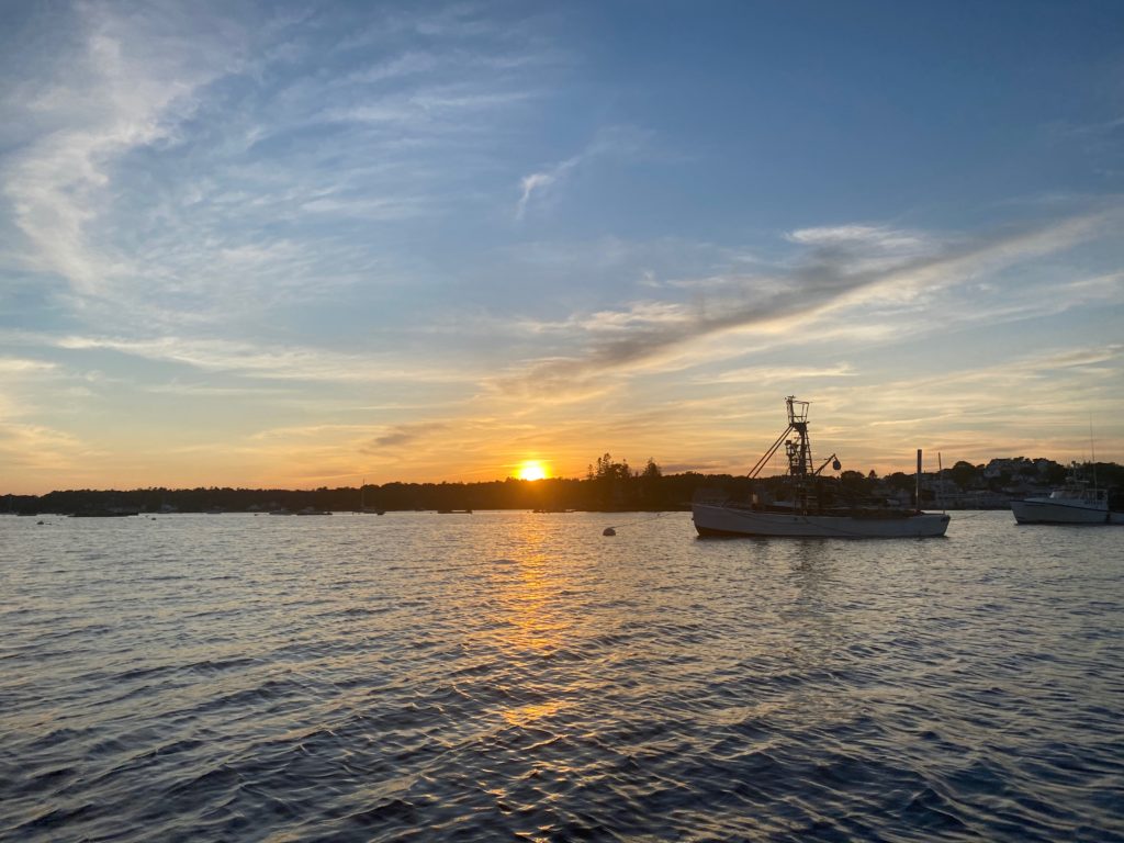
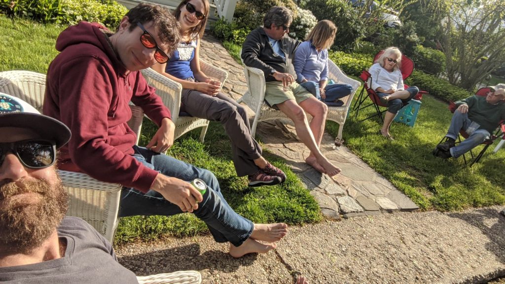
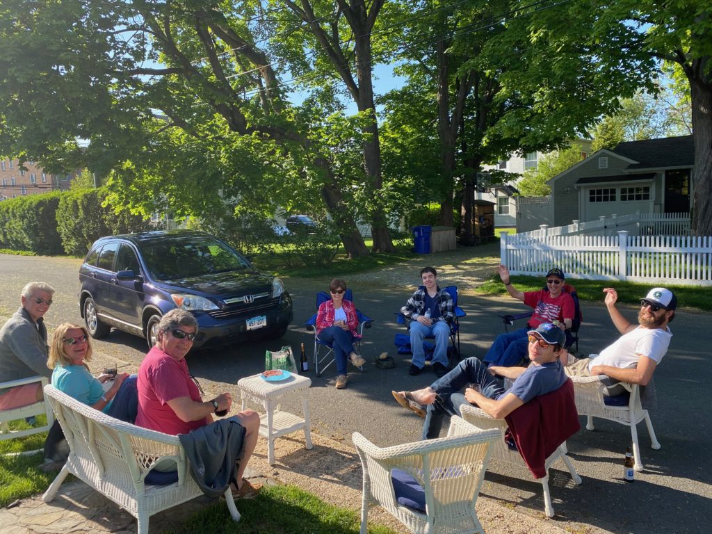
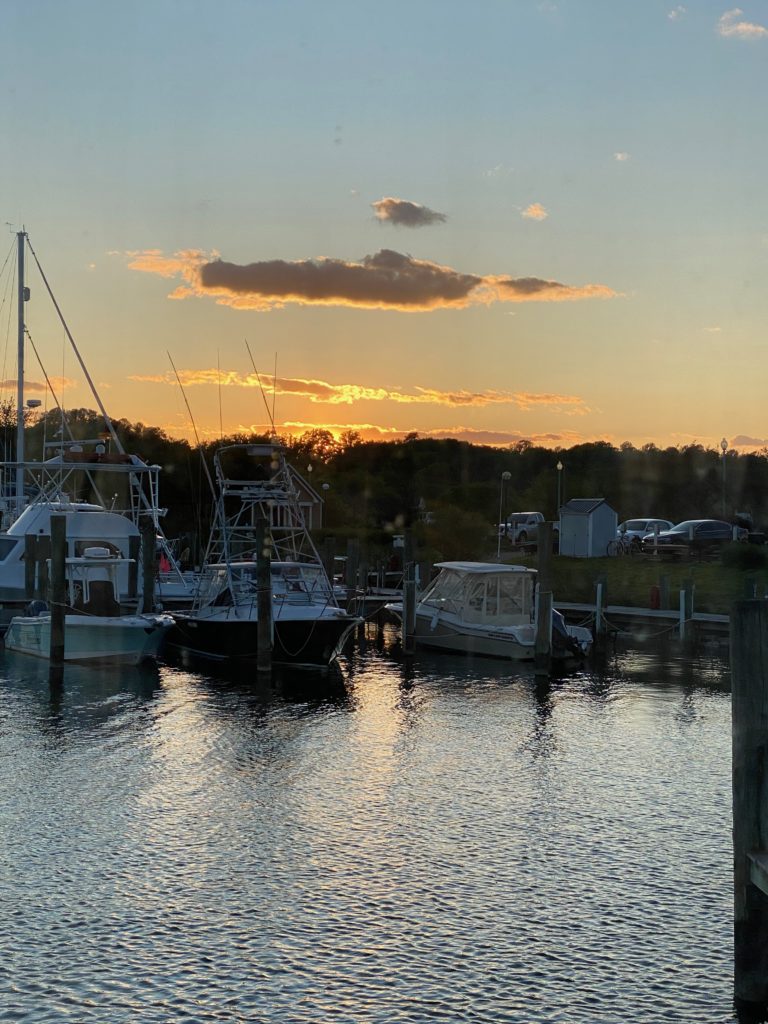
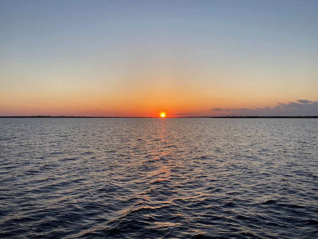
Later in the evening, we joined John and Joan on Starlight for a sunset happy hour.

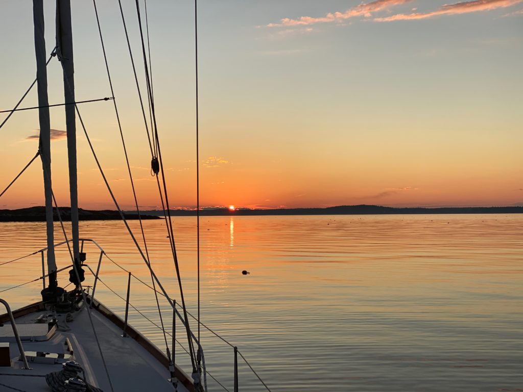
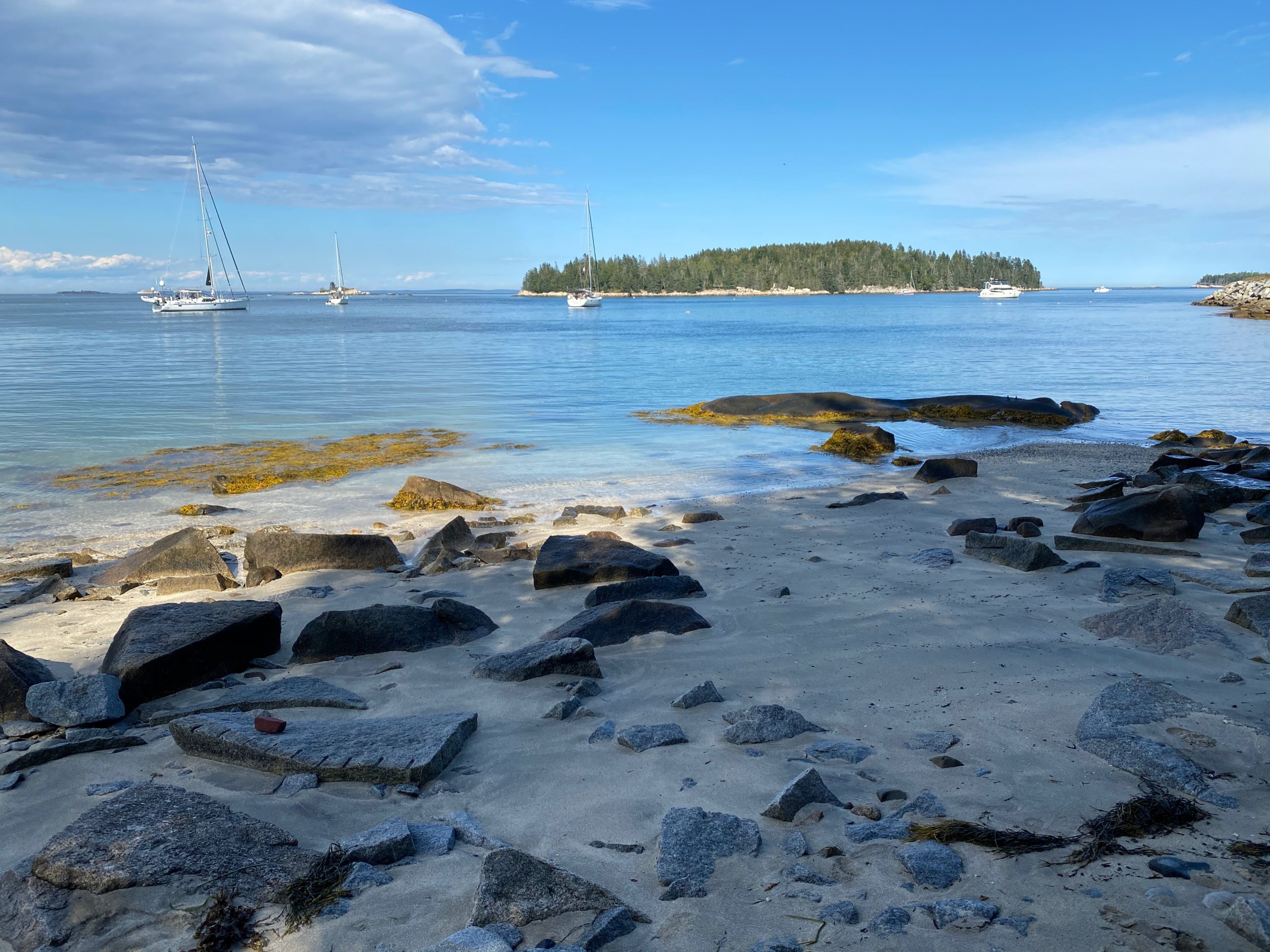
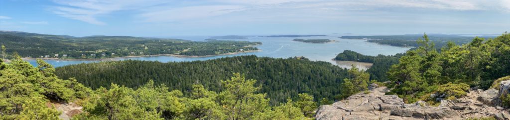
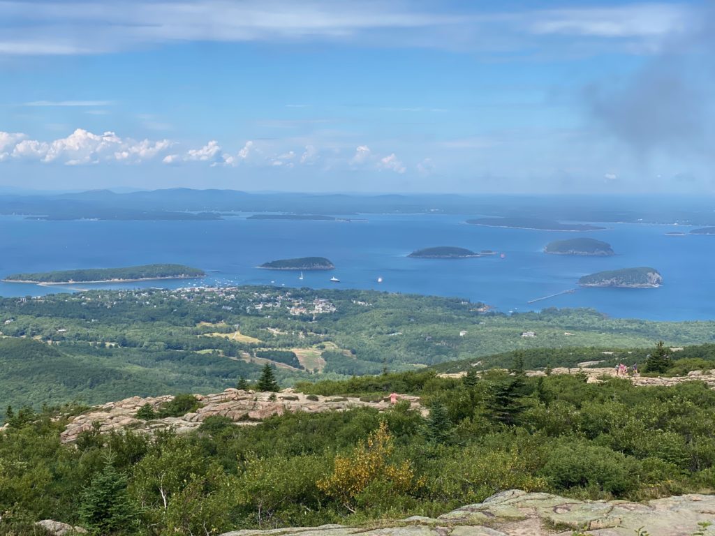
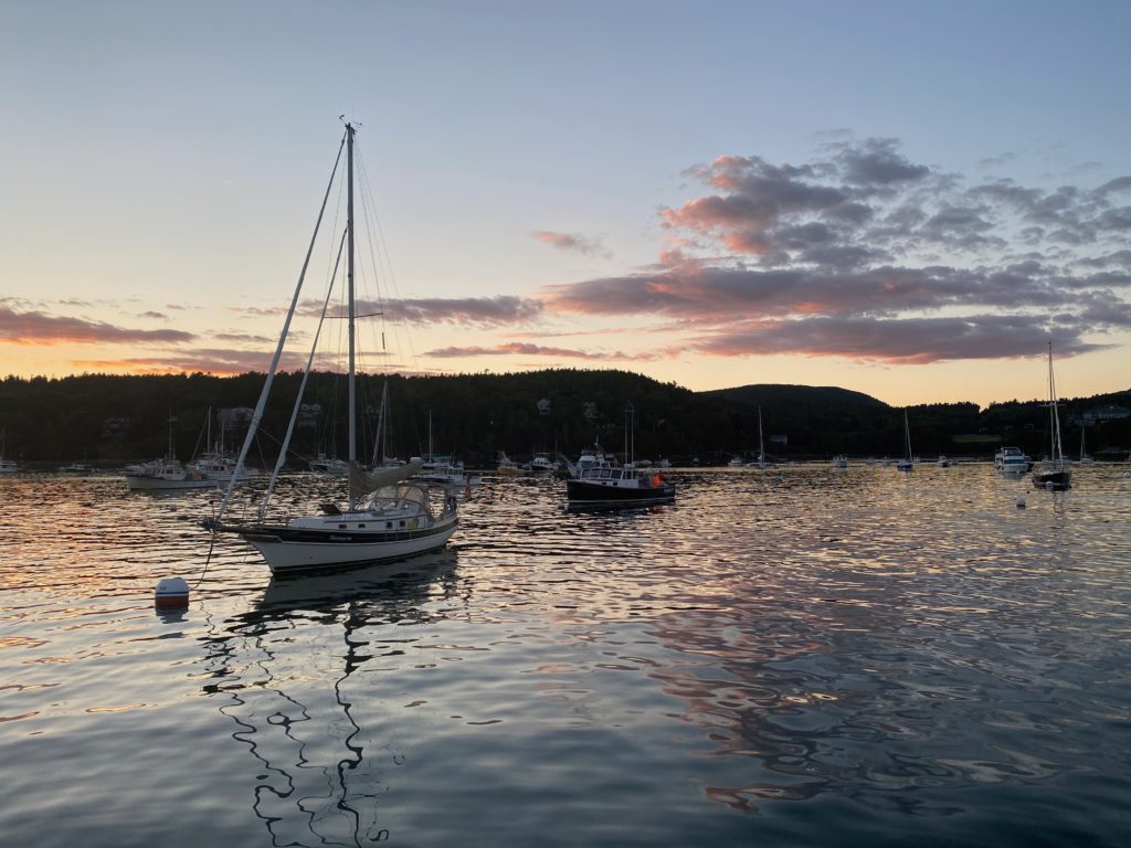
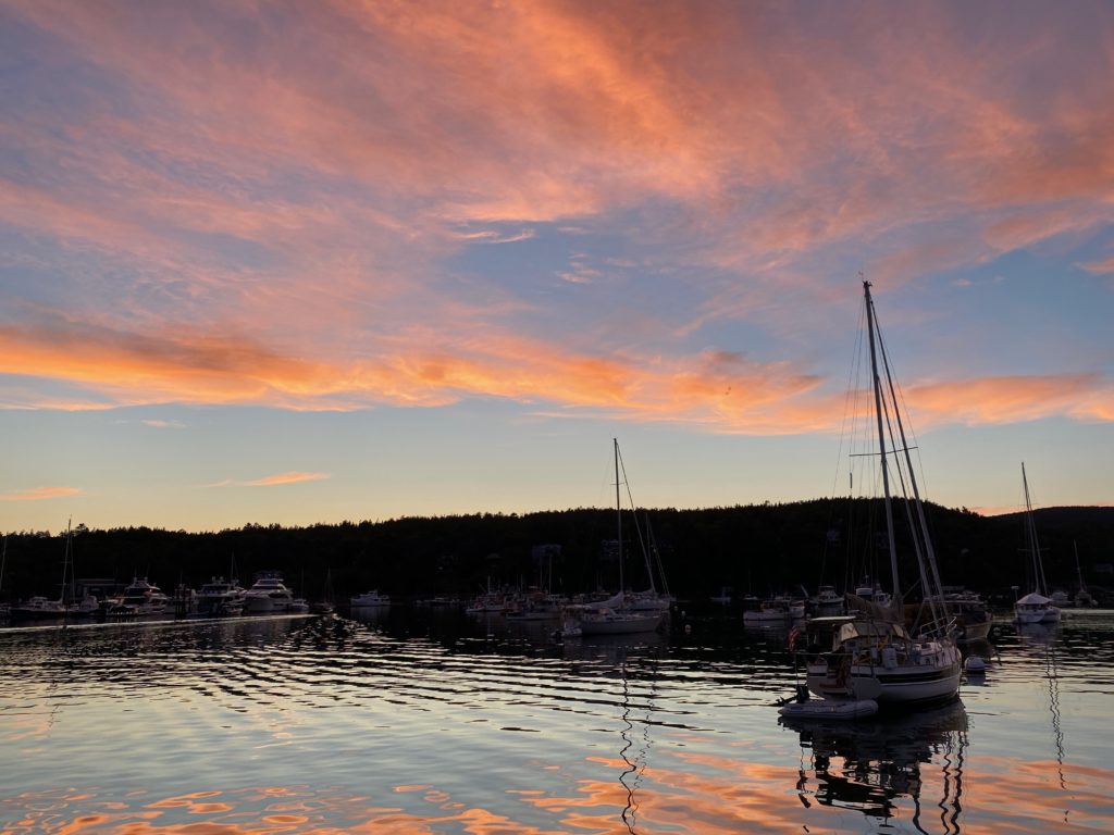
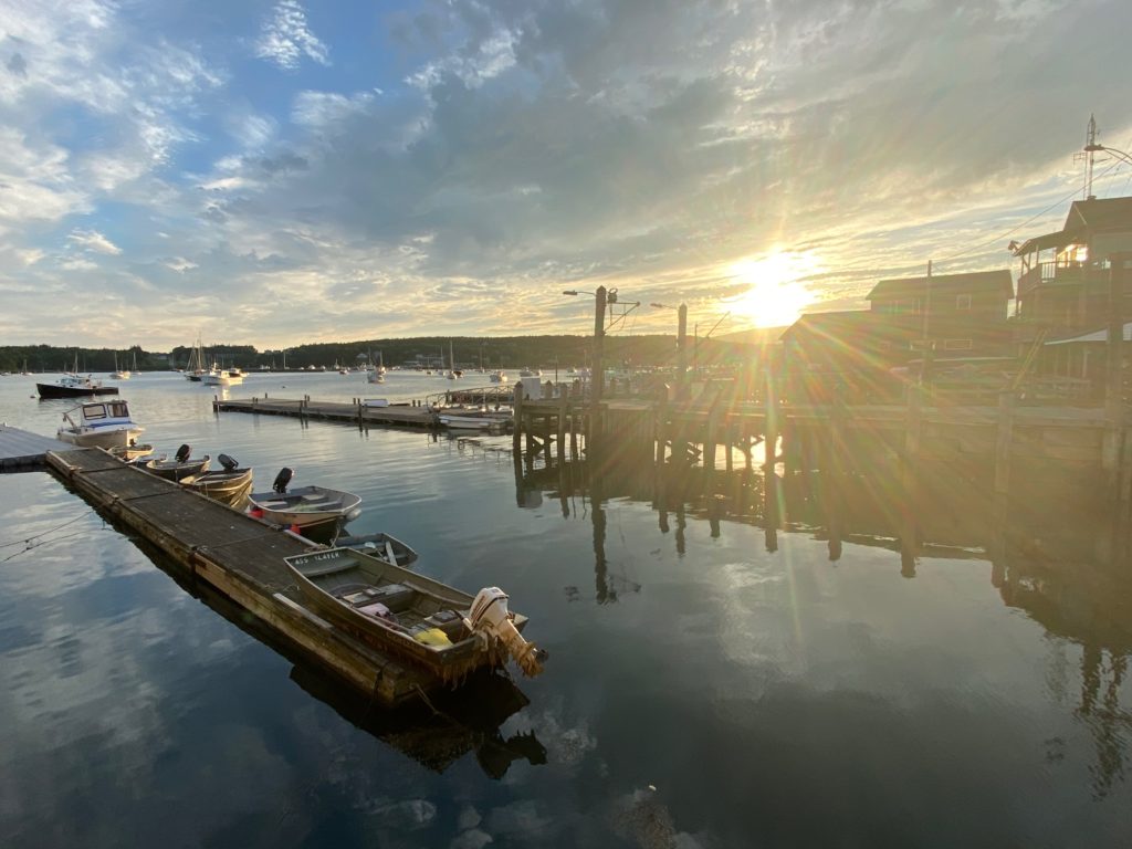
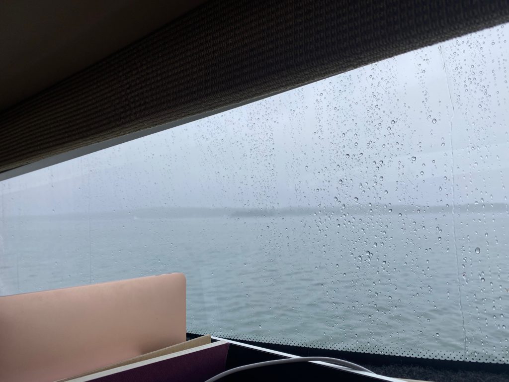
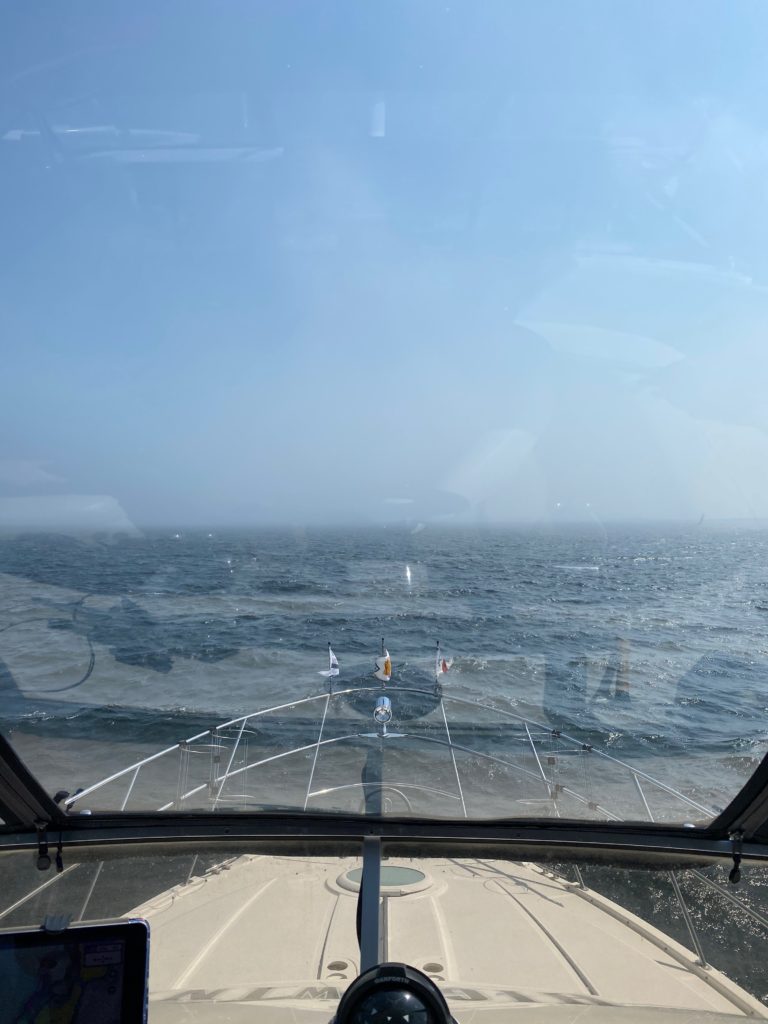
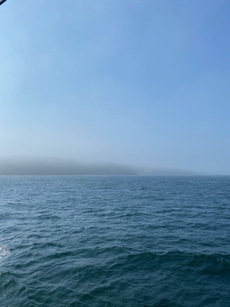
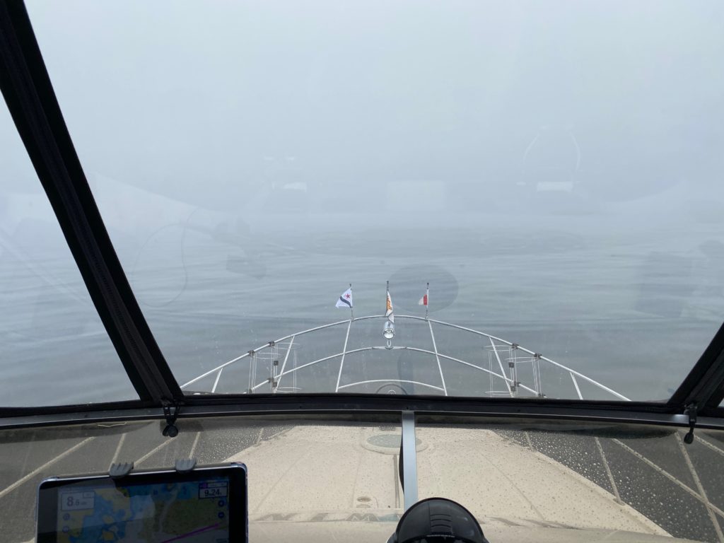
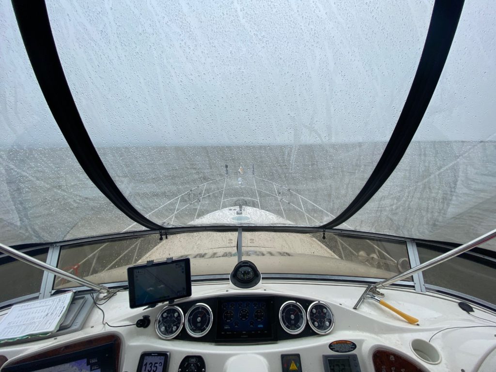
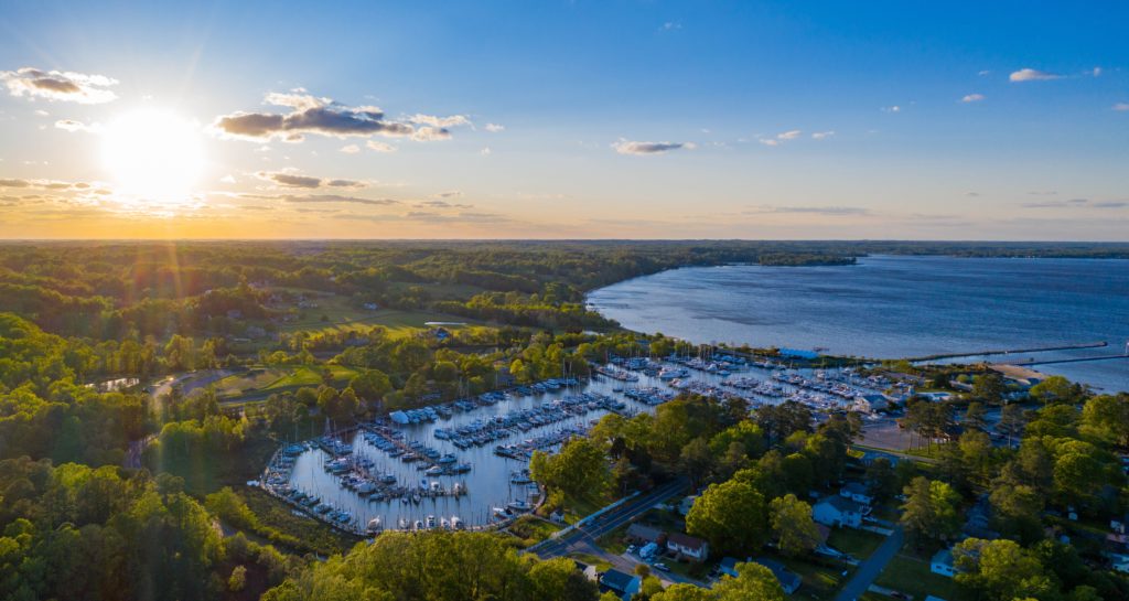
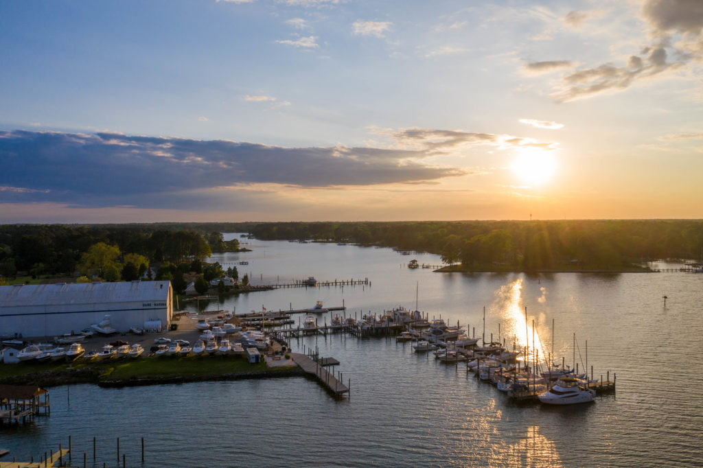
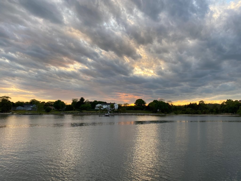
Sunday morning, we awoke to some fog and decided to hang around until later in the afternoon and hope that it would mostly burn off. Eventually it cleared enough and we headed out to Tenants Harbor. We’d been here earlier on our trip, but it had been so foggy that we hadn’t really even seen the Harbor -turns out it’s actually quite pretty!

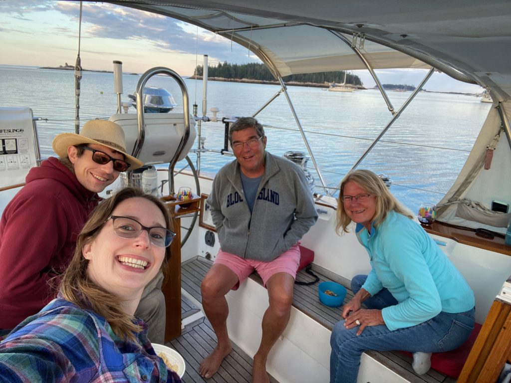
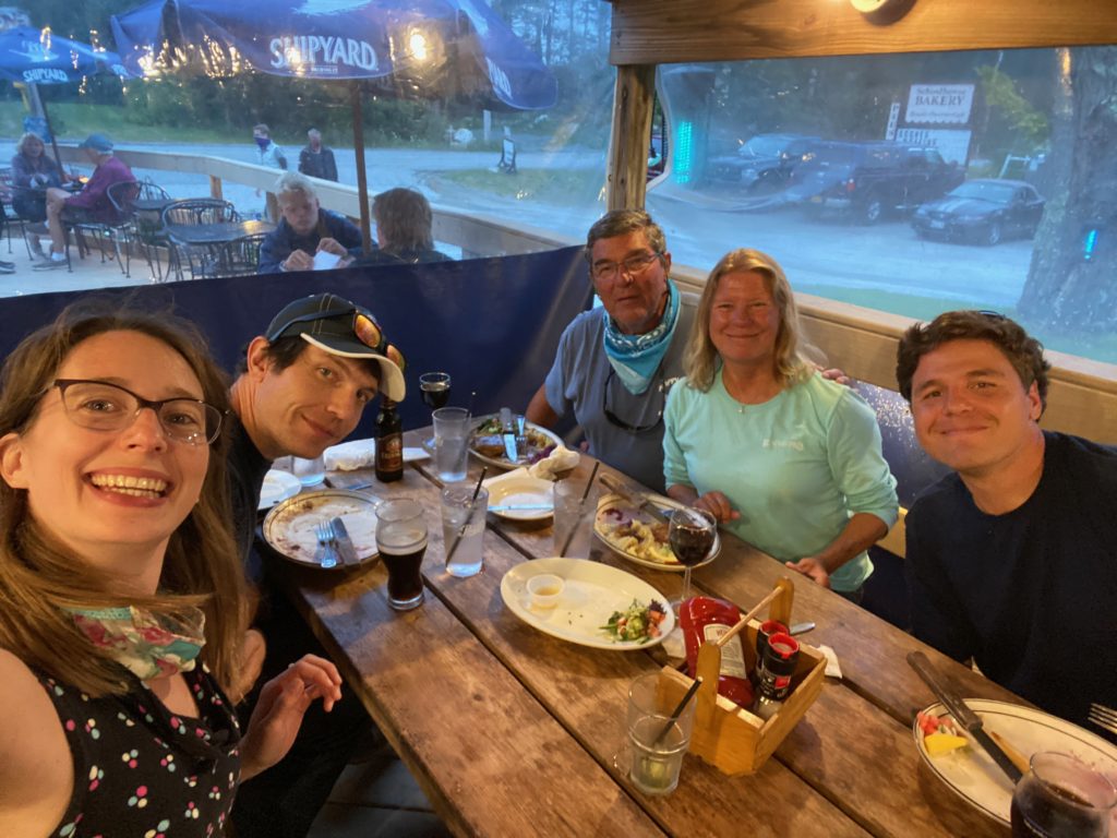
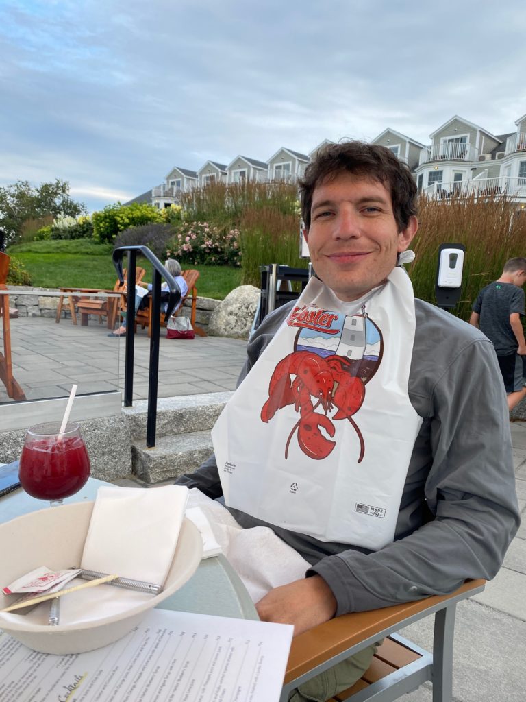
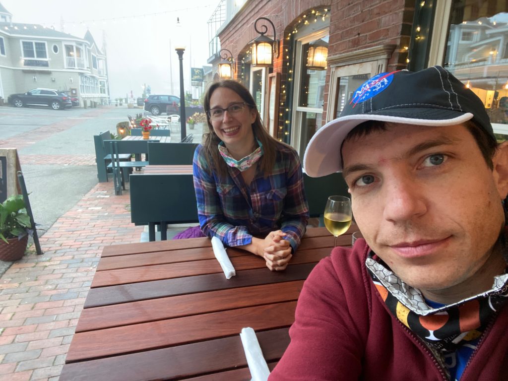
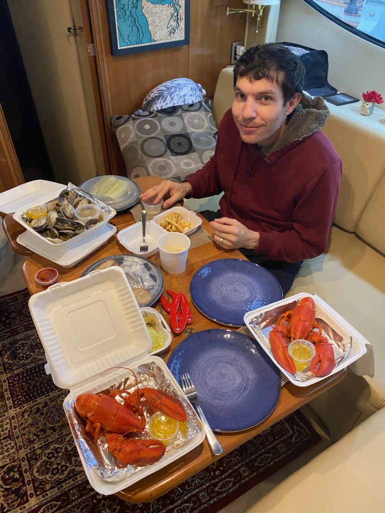
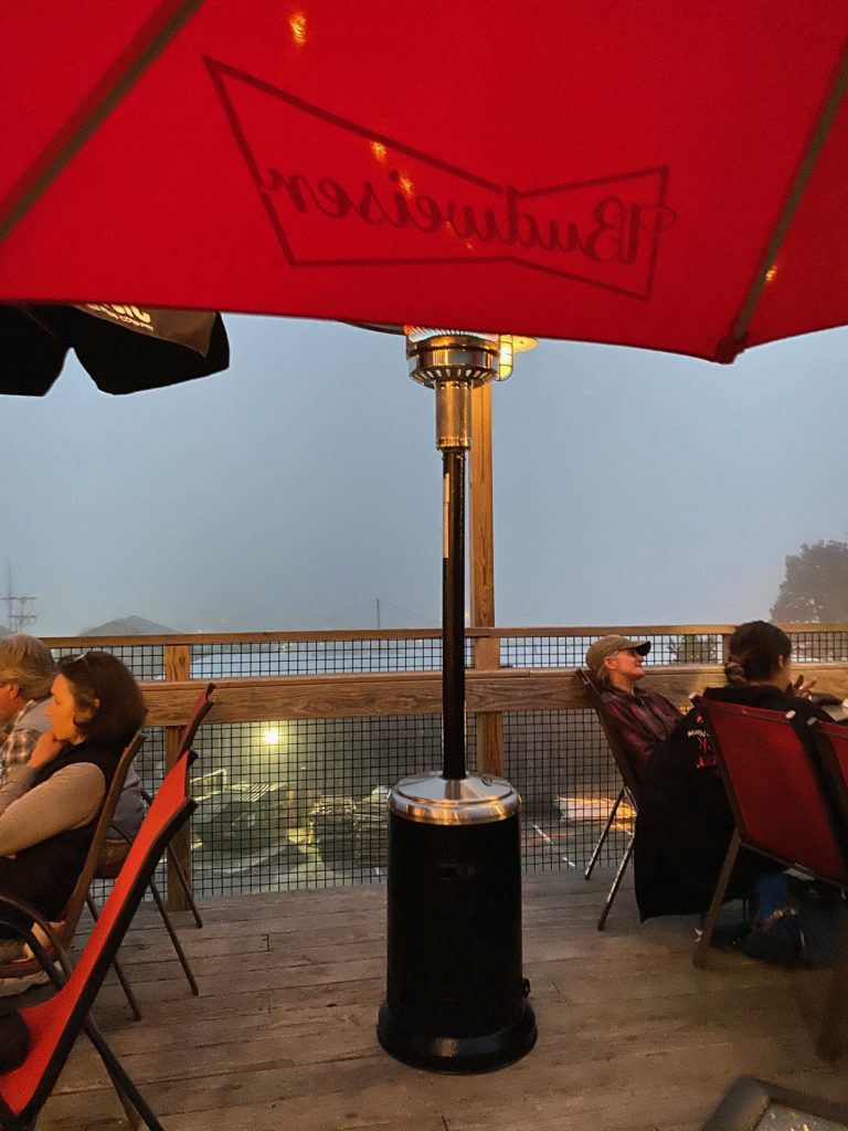
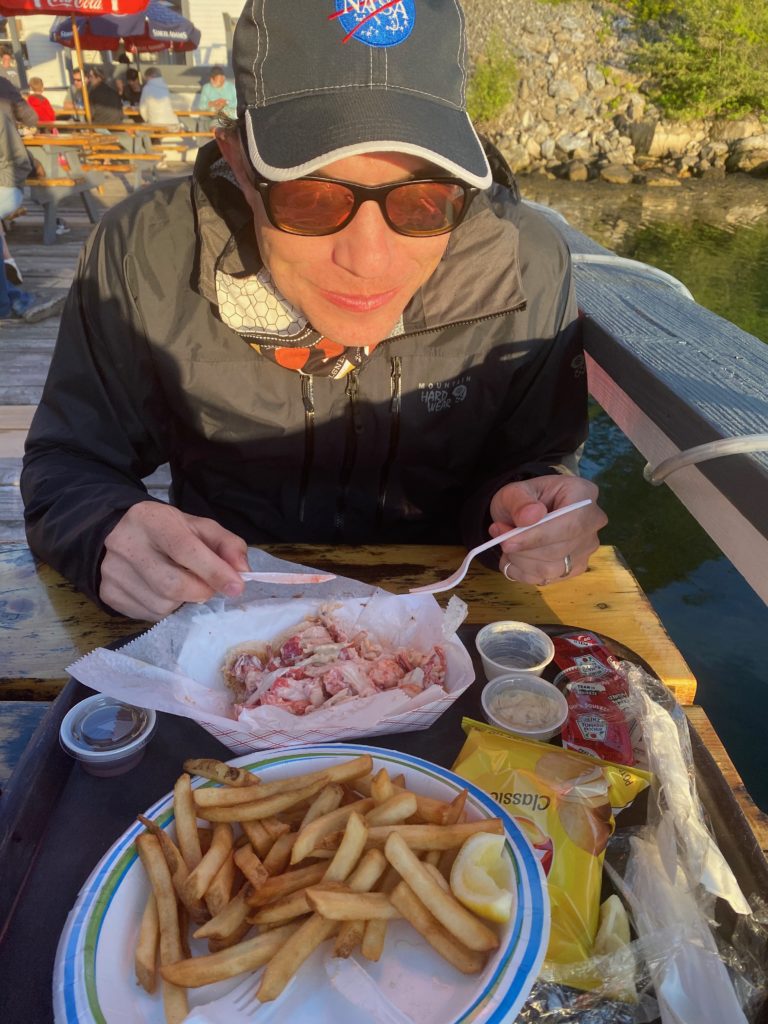
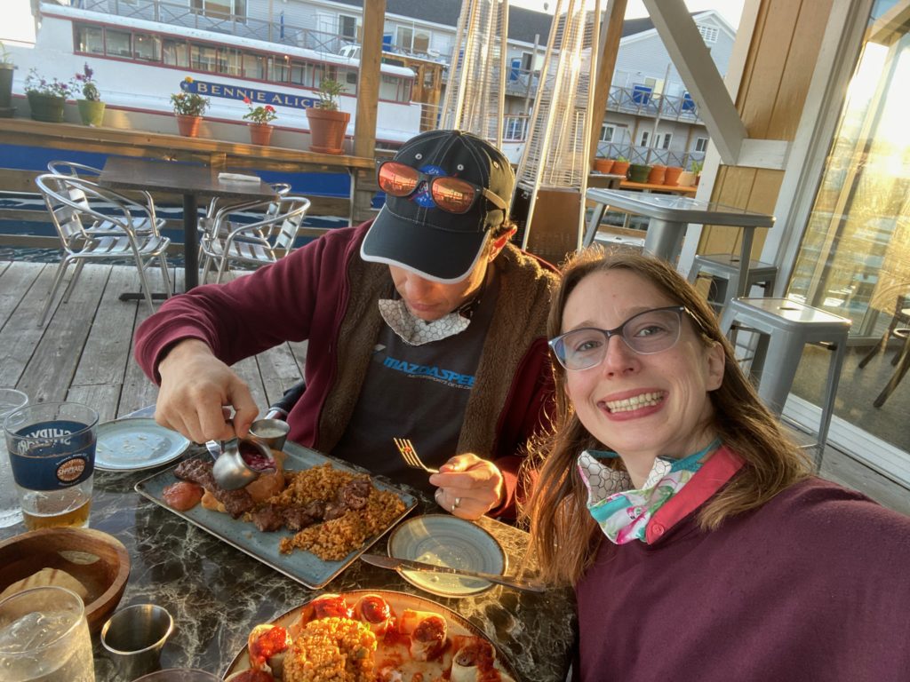
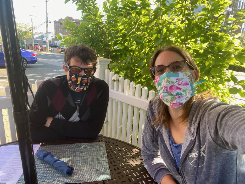
David’s cousin, Kevin (who incidentally did the whole great loop ~6 years ago), was driving to Tenants to meet up with his parents and join them for a week of cruising. We all headed out to the Happy Clam, where it is apparently a de Regt family tradition to eat when at Tenants!

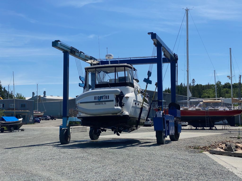
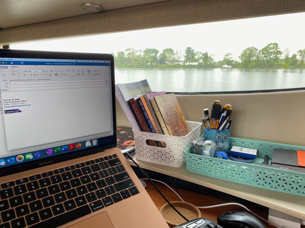
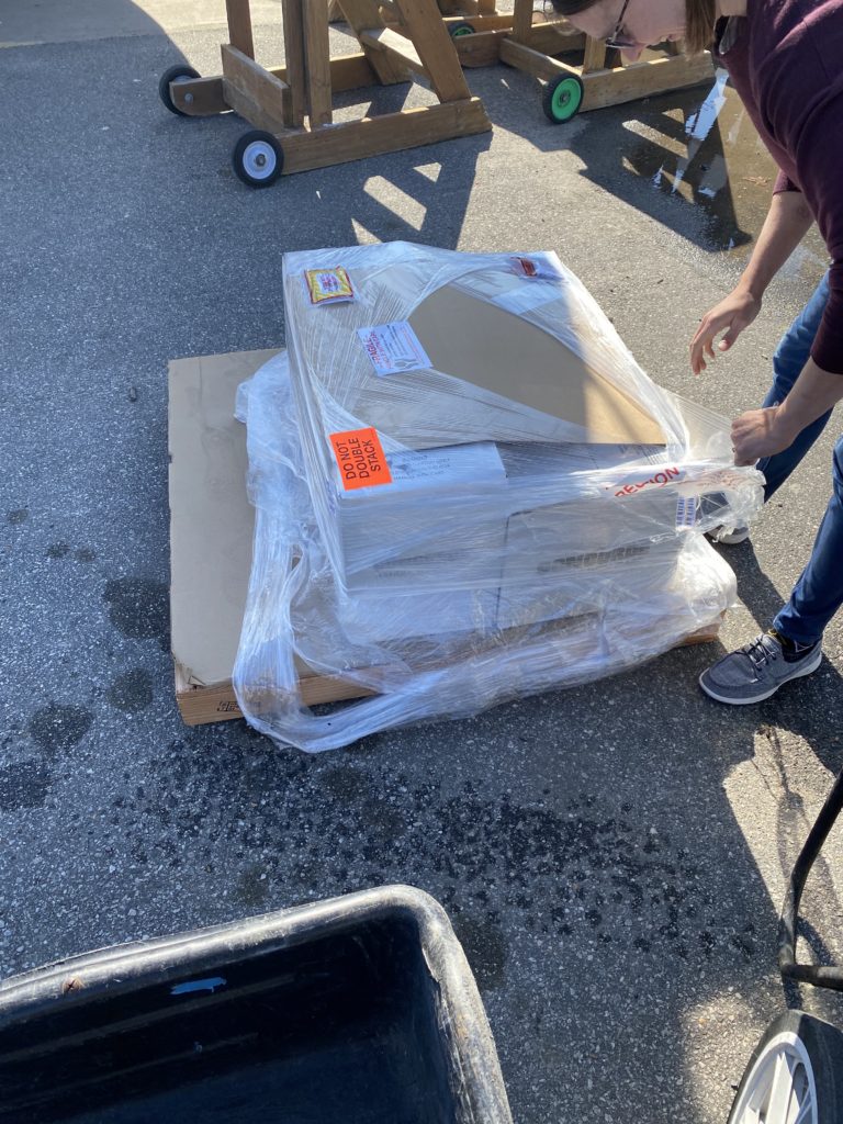
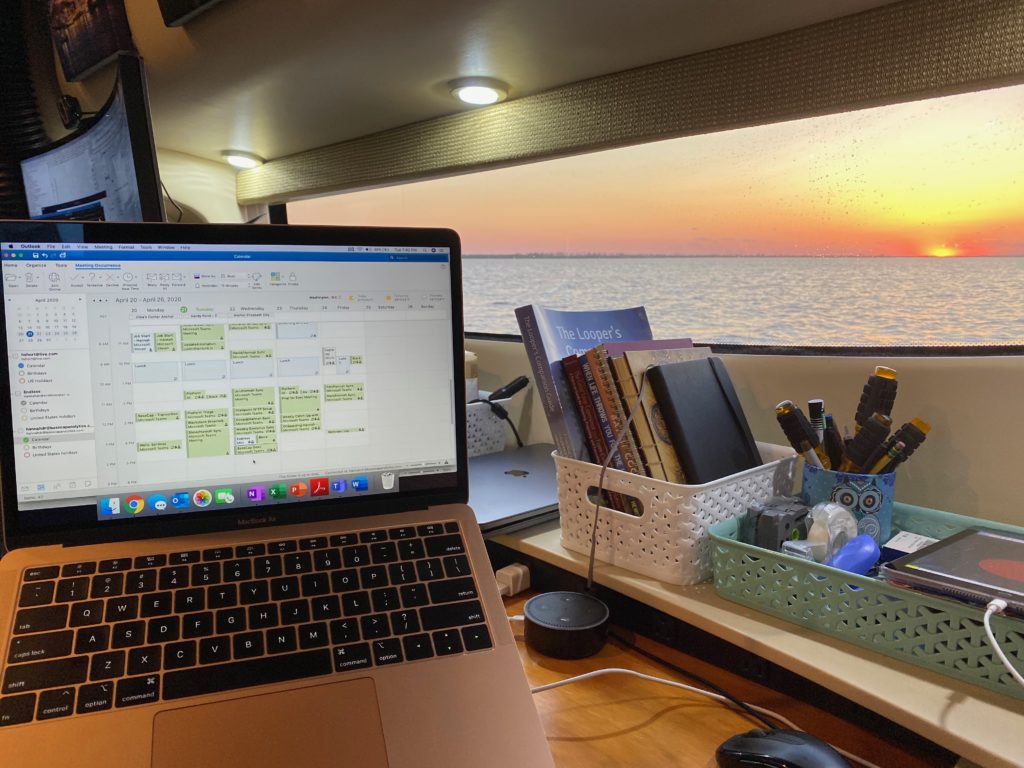
Our package arrived on Monday morning, and was even delivered to Highwind by the harbor master via dinghy. David was able to replace the broken part and restore use to the throttle cable – yay! Now we’re just waiting for a time in our work schedules to get on the move again.

Posted on Categories Trip LogLeave a comment on UPS is Bad at Delivering to a Marina

Making Water (Potable) and a Return to Somes Sound

Back once again to Hinkley’s and ready for our water maker install, we got tied up on their dock. Awaiting us was a cart load of boxes from Amazon and some items sent to us from Seattle, in addition to the water maker, since this was our first opportunity in over a month to have some items shipped to us. (I forgot to take a pic!).

David had already disconnected and moved the batteries, so when the mechanic came aboard, we were ready for him to get started on the install. Thus followed a week where the boat was a complete mess, with tools everywhere! Our bedroom was once again taken over, so we spent a few nights in the front berth.

The install proceeded smoothly, right up until we were running the first cycle, when a bad fitting (from the factory) broke under a high pressure flow, resulting in salt water spraying all over the motherboard, completely frying it. Of course, this was on a Friday, so when David called the distributor for a replacement, we knew we were not going to be able to get it until Monday. In addition, despite this being very clearly a manufacturing issue, Spectra held firm to their position that they are not responsible for “water damage”, which meant the new motherboard would not be under warranty. (Insert angry emoji here).

With little else to do, and the Hinkley’s dock not being suitable to stay on over the weekend (some winds were expected overnight), we decided to head to Valley Cove for the weekend, which was only 2 miles away. This was from a recommendation from some other loopers that we had met at Bar Harbor and had a socially distant conversation with on the dock.

Valley Cove is just a little ways north into Somes Sound (where we holed up safely for Isaias) and was actually a very beautiful spot, possibly my favourite place since Roque Island. The landscape is very reminiscent of PacNW boating and there was no civilization visible from our anchorage spot. Luckily there was also several miles of Acadia National Park trails easily accessible from the beach, so on Sunday we hopped in the dingy aiming to do a short 1 mile loop. As we were dingying to the beach, we were hailed by a couple on a nearby sailboat, who turned out to be from Everett, WA! We chatted with them for a little while from the dingy and they pointed out a different hike along the shore. Once on land, we decided to check out this other hike, which actually was 5 miles, but afforded a fantastic view overlooking the mouth of Somes Sound.

On Monday, we returned to Hinkley’s where the new motherboard was waiting for us. We tied up to a mooring and the mechanic returned for the swap. We finally got everything working and ran a successful cycle topping up our tanks. Having the water maker on board will mean that we can now go for longer on anchor without worrying about our water supplies (we hold only 70 gal), and we can take daily showers if we want!! Ahh, the life of luxury.

As David was re-connecting the batteries, he accidentally touched the positive fuse with a negative battery cable, which blew the fuse, which we didn’t discover until the evening. Turns out, we did not have a spare on board! Luckily when we called in the morning, Hinkley’s had some spares, so we were able to get that fixed.

This morning, we finally cast away from Southwest Harbor and are now heading back south/west to explore some new areas of Maine.

Posted on Categories Trip Log4 Comments on Making Water (Potable) and a Return to Somes Sound

Chilling Around Mt Desert Island

After a lovely week at Roque, we decided to start heading back west towards MDI where our appointment with Hinckley for the water maker install was coming up. We decided to stop in Jonesport on our way back, since I needed to do laundry. We reserved a mooring and upon arrival into the bay we tied up to a floating dock tied to a mooring buoy. Oddly, despite there being several available other buoys, there was a small sailboat tied up to one side of the dock. Regardless we got tied up and we immediately hopped in the dingy to take me to shore. This was important because their dingy dock dried up at low tide, so there was a small window for me to make it! I set up shop in the laundry room with my laptop for working and then proceeded to work my way through about 5 loads.

We decided to head back to Bar Harbor for the next weekend, in order to fill up with water and possibly get the bikes off the boat for another ride through a different part of Acadia National Park. This involved loading both of the bikes onto the dingy, which was no small feat!!

We made it safely to shore and had a great ride through the park with a picnic for lunch. We even biked all the way up Cadillac Mountain for an amazing view down to Bar Harbor. As per usual, right as we were walking around the top of the mountain, a big fog bank was rolling in, obscuring 180 degrees of the view. Despite that, we still had a great view on the other side, and it was a beautiful day for a ride.

The following Monday was our anniversary, so we decided to stay one more night in Bar Harbor so that we could go out to eat. We had a lovely lobster dinner and then wondered further into town to a cheesecake and wine tasting place for dessert.

Tropical Storm Isaias was approaching and we knew that Bar Harbor would not be well enough protected from the winds, so we decided to head to Somes Sound, which is located in the center of Mount Desert Island and largely protected by hills all around. We tied up to a buoy, added our anchor bridle system for extra security, and prepped the boat by pulling in everything loose from the outside of the boat. We don’t have a wind meter, but we probably saw winds up to 35kts overnight. David stayed up late through most of the worst of it to ensure our survival.

All the fenders piled inside the boat, plus we took off the canvas from the windshield for the first time ever

Following the storm, we decided to head to Northeast Harbor to relax for a few days and possibly stay through the weekend where we might meet up with David’s aunt and uncle on their sail boat. We arrived in the Harbor and stopped at the marina for a pump out and to fill up with water. After hearing that their buoys were $40/night, we decided to check out an anchorage around the corner. That turned out to be mostly filled with lobster pots, so we called another place in the harbor. They had a buoy empty for us, but after a few minutes of driving up and down looking for an unoccupied yellow buoy, of which there were none, we radioed back for further directions – it turns out they were a little way outside of the harbor. We headed over and got tied up. Then a boat from the yacht club meets us and asks what our plans were. As it turns out, the buoys were only available for a few hours, not over night! So in the end, we headed back up into the harbor and moored with the main marina – after more confusion where they buoy number they gave to us turned out to be already occupied!

John and Joan arrived on Saturday and we enjoyed a relatively lazy weekend hanging out, took a short hike up the nearby hill, and visited an amazing flower garden.

We decided to stay put here until we needed to make our way the short distance back to Southwest Harbor and Hinkley’s.

Posted on Categories Trip LogLeave a comment on Chilling Around Mt Desert Island

More Fog and Finally Hauled Out!

Sunset from Beal’s Lobster in Southwest Harbor

The lack of blog updates unfortunately reflects our reality — that we’ve just been in holding patterns for the last two weeks. Wayfarers kept delaying getting back to us with either a day when they could have a mechanic come on the boat or when we might schedule a haul out for a rather long shopping list of other work that needed to be done. We waited on the dock for an answer from them for two days, with them putting things off for 4 hours at a time. At least, on our last night on the dock, we walked in to town to eat at one of the lone outdoor dining restaurants and had a great meal surrounded by fog.

We decided to spend one more day on a buoy in Camden because they were going to have time to send someone out to look at some stuff the next day, in theory. In the meantime, we had a diver come out to check out our props to see if we picked up a lobster pot line or something and that’s what was causing the vibration. No dice, so we were perplexed, but not terribly worried.

Panorama of view on buoy on our last night in Camden waiting for Wayfarer.

The next day, we decided to stop spending 50$ a day on a mooring buoy when we could go nearby and anchor for free, and they still hadn’t committed to a day for any work to be done. We set up on anchor in Dark Harbor across the way from another boat yard, and after one more full day of Wayfarer delaying, we got in contact with someone from this boat yard. They also said they might be able to squeeze us in before the weekend, so we prepared for that. The weather continued to be gloomy and we dealt with a moth infestation on the boat…fun times. (My nightmares continue to be haunted by the BAT-sized moth that I saw flapping around our dingy that night.)

Meanwhile, upon the advice of my dad, David decided to check the engine mounts to see if that might be causing our vibration. Lo and behold, two of the mounts were loose, so we tightened those down and hoped that would do the trick. It did end up curing much of the vibration, but we still have some smaller vibration on that side (which is probably what loosened the nuts in the first place), to be determined at a later date. We suspected that we had actually nicked the propellor on something back in the Dismal Swamp, since a really small vibration had started around that time, just not enough to worry us.

After several days of “we can fit you in tomorrow morning” and then “actually later this afternoon” from the Dark Harbor boat yard, and very few days to actually get somewhere for the holiday, on Thursday we finally gave up, pulled anchor, and headed towards Southwest Harbor on Mt Desert Island, where the internet told us there might be fireworks for the 4th.

The route was about 30 miles, and since I had the day off from work, while David didn’t, I did most of the driving. Though the weather seemed ok when we pulled anchor, the fog quickly descended resulting in possibly the worst visibility we’ve ever had on the boat – maybe one boat-length in front of us (~50ft). Also, since we’re in Maine, lobster pots abound, so it was a pretty stressful ride, navigating around some small island clusters and a billion lobster pots. At one point in the cruise, through a narrow passage, we ended up in the middle of a mooring field, dodging moored lobster boats as well!

Luckily, there was no rain…until about 5 minutes before we had to dock, so I was getting lines and fenders ready in the pouring rain. As soon as we tied off the boat, the rain stopped though, so I guess that’s something :).

We decided to spend the night on the dock in the one marina in town in order to get some laundry done. We also treated ourselves to a full take-out lobster dinner including crab dip, plenty of sides and a mountain of steamed clams.

We used my parents and the internet to help us to figure out how to access the inside of the lobsters 🙂

Since the weather actually looked like it might be nice for the holiday Friday, we decided to stay one more night on the dock so that we could get the bikes down and go for a ride. The blue skies finally came out a couple of hours after lunch and we decided to head towards Bar Harbor, the other big town on the island, riding along the outskirts of Acadia National Park.

Once we arrived in town, we realized we’d probably made a mistake, since the town was very busy with vacationers, less than half of whom were wearing masks. We decided to have a quick drink, but as it turned out, we were sitting on the patio right by the sidewalk with people walking only a few feet away from us the entire time. We decided to hightail it back to the boat, stopping for a quick detour into Acadia national park on the way home. Since it was getting dark, we didn’t go very far into the park and decided we’d return if possible on a dedicated ride.

The marina also had a courtesy car, which we used to do a grocery run and took a quick walk through the cute downtown where there was a tiny public library with a be-masked statue outside.

Meanwhile, we still needed work done on the boat, and we finally got in touch with a marine shop (Hinckley’s) that gave us some more certainty around a schedule – just across the bay from the marina. We grabbed one of their buoys for the weekend. The fog rolled in again on the actual 4th, so we had a lazy day on the boat reading/gaming. The actual city firework display turned out to be cancelled, but in the end, there were several people launching their own displays around us. Despite the fog, we could still see the colorful bursts, and sat up on the flybridge for a while curled up under a blanket enjoying the show.

On Monday, we were actually given a date for when a mechanic could come aboard to replace the raw water pump on the starboard engine – we were expected on their dock at 7am on Wednesday! The day rolled around and amazingly we had a mechanic aboard by 8am and the work was done by the early afternoon. We also discussed with them all the additional work we needed done (bottom painting, fiberglass repair on the stern, investigation of a voltage drop in our bow thruster, drilling a through-hole for later installation of a water maker) and scheduled to be hauled out on Thursday.

We are now on the hard and have people under and inside the boat taking care of things. After 4 months on the water, it is a very strange feeling to be on the boat while it is completely stable!! One of the annoying parts of living in a boat while it’s on the hard is that you cannot use any sinks, since those go straight out the side of the boat (and in this case would go onto someone’s head!). We did look into staying in a hotel, but they are all closed due to COVID. Hinckley’s usually do not allow people to live aboard, but they made an exception for us and have given us access to their shower and laundry room. The team here is incredibly helpful, friendly, and have been doing good work. It’s pricier than other shops around, but they’re incredibly responsive, and have a good team.

The afternoon weather cleared up enough for me to pull out the pole – for the first time in about 4 weeks. We decided to bike to an outdoor dining restaurant for dinner (actually the one above the marina we stayed at earlier), but by the time we finished dinner the fog had come back!

We’re going to be on the hard through the middle of next week, so hopefully we’ll get some more biking in after Tropical Storm Fay passes through tonight and tomorrow.

Posted on Categories Trip Log4 Comments on More Fog and Finally Hauled Out!

Maine is Foggy

Our view, almost every day

Now that we have reached Maine, we have been able to slow down our break-neck pace to rush northwards and have generally been staying in places for a couple of days at a time. It has been nice to be a bit lazy. Snow Island was a great stop – we were the only boat anchored around the island and we were only disturbed by a few lobster boats coming out to check their pots.

We dinghied my pole to a little island off our stern and David took some shots of me from the drone

After Snow Island, we headed to Booth Bay and dropped anchor in the middle of the harbor. The weather was predicting to be moderate for the first night and then the wind was supposed to pick up for the next two days. We decided to stay on anchor and then see about moving to a mooring buoy for the next few days if we’d need it. The was a lobster wharf/restaurant on one side of the bay, so we headed over for dinner. We shared lobster roll and fresh haddock (which you can’t see in the picture because I devoured it before I thought to take a photo!).

The night was rocky, but it turned out that we were pretty well protected in the bay, so we ended up staying on anchor there for a few nights, rather than moving to a buoy about 200 yards to the side. The weather remained pretty nice for our stay there and we even had a good sunset one night.

Sunset at Booth Bay

The town on the other side of the bay had a free dingy dock, which we used when we did a grocery run and also on our last night for a meal at a mediterranean restaurant overlooking the bay (outdoor patio) that was absolutely delicious!

When it came time to roll out of Booth Bay, the fog had again crept in and we spent the entire cruise to Port Clyde, our next destination, with only double digits of visibility in front of us. This makes dodging the lobster pots even harder to do!

We dropped the anchor at Port Clyde and spent one night in the fog before we decided to move on.

When we arrived into Tenants Harbor, we knew we needed a pump out and that there would be a mobile floating one somewhere in the middle of the bay. We figured we’d have to meander around through the fog until we came across it, but luckily it was right in front of us when we pulled in. This one was manually operated, and apparently I drew the short straw…

This photo describes itself

Arriving in Tenants Harbor, we needed to refill with water, but as we approached the marina we saw that the dock was full. Luckily there was a couple on a 35ft boat, so we asked if we could tie alongside them in order to fill up and they obliged. As a thank you, I cleaned off an enormous bird poop from the back of their boat. Apparently it was just my day to get poopy :).

We picked up a mooring buoy off the marina and spent 2 days in on-and-off fog. The primary attraction of this place was a restaurant called the Happy Clam, which we had been instructed we needed to visit in order to be truly part of the de Regt sailing clan. Sadly they were closed on Monday and Tuesday nights, so we weren’t able to make it out.

David tried flying the drone to see how high the fog went, but let’s just say it went higher than the FAA allows drone flights and leave it at that. On the way down, some sensors in the drone freaked out and David had to do a fast catch that cut up his finger a bit. We had to go ashore and do a full re-calibration on solid ground before it would want to fly again. I even learned how to hand-launch-and-catch the drone!

In the evening, we played a virtual escape room game with Matthew. It was pretty hard and took us an hour and a half to solve!

We pulled out of Tenants Harbor in – you guessed it – more fog. Our next destination was Camden. For this leg as it was a very high tide, and many of them were sitting slightly under the surface of the water.

This is a common view of Maine, as far as we can tell

Somewhere on the short trip, we picked up a vibration, so when we arrived and tied up to the dock at Wayfarer Marine (our first dock in several weeks!!!), we wanted to figure out what was wrong. For a couple of hours in the middle of the day, the fog burned off enough for me to hop in the water to see if I could see if anything was wrapped around the prop. Let me tell you – I’m already somewhat skittish about “the unknown” below me when swimming, so it was super freaky to try to dive below the boat. The water was about 60 degrees, so not terrible, and it took me a little while to get the courage to dive down and look at the props. I didn’t see anything obvious, so we’re a little concerned.

We are waiting for the Wayfarer folks to give us an assessment on a few things we’d like to get taken care of on the boat, so we’re not sure yet how long we’ll be staying here. But so far both a diver and the main project coordinator have been delaying us for an extra day, so we’ll see how long we’re stuck here waiting…

Posted on Categories Trip Log5 Comments on Maine is Foggy

Side Quest to Oyster Bay

John and Joan’s sailboat Starlight at sunset at its mooring on Five Mile River

John and Joan offered us amazing hospitality over the last week and we have really enjoyed spending the week in Rowayton. We borrowed Joan’s car to do a couple of provisioning runs including topping off our propane tanks for the stove and BBQ. Driving a car after 3 months was weird! Since we were moored on the bow and stern buoys, we had a short dingy ride every day to get into town up the Five Mile River past quintessential east coast architecture houses. The weather this week was fabulous (finally!!) and I even spent the better part of Friday afternoon working from the back deck and waving at the boaters passing by.

Open-air outdoor dining had just been allowed in Connecticut, so we took the opportunity to eat at a restaurant just down the street from John and Joan – our first dining out experience in several months! This restaurant had a cute patio where half the tables had been roped off to account for social distancing, and we wore masks whenever the servers came to our table and removed them only for eating.

It’s a little hard to eat with these on…

Since some packages that we were expecting were delayed and we knew we would be extending our stay into the following week, we decided to go for a weekend overnight to Oyster Bay, just across the Long Island Sound and invited John aboard to see if we could convince him to come to the dark side (power boating) :). We had a fantastic short trip and the weather continued to hold, so David even brought out the inflatable toys and drank a margarita off the back of the boat.

Our final package arrived and we determined that Monday would be our last night in Rowayton. We have spent the last two nights with David’s family watching the developing news of the protests sweeping across the country. David and I are very aware of the privileges of our lives, and not just that we are in a position to be on this adventure this year (regardless of how it has been affected by the global pandemic). We are horrified by what has happened and is happening in our country and we stand in solidarity with those who believe in equal rights and justice for all.

Posted on Categories Trip LogLeave a comment on Side Quest to Oyster Bay

Open Water

Our 5 day stay in Delaware City waiting out tropical storm Arthur was uneventful, which is all one can hope of a week with a predicted storm. We pulled out Gloomhaven (board game) again, and otherwise spent the time working, relaxing and doing laundry. David also decided to install the fixed monitor stand on the desk so that in rough water we would not need to stow his monitor as we had been doing. This was the longest time we had stayed in one place since arriving on the boat back in February.

We also needed to do a lot of planning as our next legs of the trip would take us into our first open water on the east coast, and our first passage on the ocean in Highwind. The ideal plan for us would be to head from Delaware City down the Delaware River and around to Cape May for the night. This trip needed to be timed with the tides to ride favorable currents. Ideally the next leg of the trip would be 120 nautical miles from Cape May all the way up to Sandy Hook. This would have us ‘skip’ the entire New Jersey shore and avoid any passage up the New Jersey Intercoastal Waterway, which is controlled only to 4ft from Cape May to Atlantic City and then only 6ft to Sandy Hook. Even though this is protected water, we draw 4ft, so that first stint is a non-starter for us, and after our trip up the Dismal Swamp, we aren’t eager to spend much time in 6ft either. Since both of these legs were going to be over 4 hour cruises we knew that we needed to wait for a weekend. Since they are both in open water, we knew we did not want to be doing them in any kind of appreciable wind.

While Arthur was drawing to a close, we were keeping a close eye on the weather reports from Delaware City, looking for our chance. We started noticing a bit of a gap in the weather up the southern NJ coast centered around early Saturday, but then increasing winds for the rest of the 10 day forecast making the coast trip a nonstarter. As it got closer, the weather forecast firmed up with Saturday morning having nearly zero wind, not awful ocean swells from the SE, and Friday was at least passable to get down to Cape May. David had Friday off work, which helped, so we locked in the tentative plan, with lots of escape hatches if we ran into surprising conditions. Whatever ended up happening, if we didn’t make it all the way to Sandy Hook by Saturday afternoon, we’d be stuck in place for another 7+ days.

Friday morning, we cast off from Delaware City near the middle of the day (timed according to the tides) and began the journey to Cape May. The weather wasn’t great (with some intermittent rain), but the good news was that the wind was minimal. However, we spent pretty much the entire trip (5ish hours) going into head-on rapid chop, some of the worst waters we’ve been on to-date, the waves regularly splashing all the way up to our flybridge windows. At one point the nose dipped so violently that our anchor chain break popped free, so I had to don a lifejacket and head out onto the bow to fix it, while being sprayed in the face with salt water repeatedly. Once we got into the Cape May canal, the water was calm and we pulled in to our marina with no problems.

The view for most of the day on the Delware River

That evening we checked the weather reports again, and everything was still pointing to the next day being our only viable option for the journey north, with winds predicted 0-5kts and predicted 1-1.3m waves from the SE for most of the day. We planned to wake up at dawn, 5:30 in the morning (oh-dark-thirty, as my parents say), and immediately head out into the Atlantic Ocean for the first time since we started on this trip.

At 5:30, it was pouring with rain, but there was little wind, so we cast off and headed out of Cape May. The water was as predicted – large rollers evenly spaced coming at us from the beam. So while the day before had been a lot of up and down from the head-on waves, this trip was a lot of side-to-side rolling. For the first couple of hours of the day, it absolutely poured with rain and there was thunder and lightening in the distance. We were nervous enough about things that we grabbed the dingy key, portable radio, and the flares to keep nearby in case we got rolled over and somehow got the dinghy loose!

In order to make it all the way in one trip, we knew that we would need to plane for some of the trip, but for the morning, we needed to stay at displacement speeds, as planing with the beam waves was dangerously rocky. Our bug-out plan in case we did not feel we should go further was to duck in at Atlantic City. We could then take the rest of the trip up the NJICW (going on a rising tide for the deepest possible water) up to Manasquan, and then figure out a time to do the last 25 miles in open water later in the week (hopefully). However, eventually the rain stopped, and the conditions, while real crappy, were not dangerously bad. After 5 hours of that, we passed by Atlantic City and turned to port by about 10 degrees, so the seas were not straight on the beam, and the conditions greatly improved. We shortly thereafter were able to keep the boat safely up on plane without having to manually steer, and our ETA dramatically dropped.

After a couple hours of planing, we knew that, even if the waves turned worse and we had to stop planing, we would be able to make it to Sandy Hook with an hour or two of sunlight to spare. We actually ended up managed to stay planing all the way up. As we got further north and slowly turned further and further to port, the waves kept going more and more aft, making it safer and comfier as the day went on. We ended up getting into Sandy Hook early enough in the evening to fill up on diesel before settling in for the night on anchor.

The next morning, we would be heading north from Sandy Hook, up the East River past Manhatten and into the Long Island Sound where we would tie up in Rowayton, Connecticut to spend some time with David’s aunt and uncle. Our original Loop plan had us spending several days in New York City, but obviously now is not the time to be a tourist in NYC, so we are cruising on by and hoping that on the way south things might be open enough that it makes sense to stop.

It was a surreal and amazing experience to be driving our boat past such a recognizable skyline. We had no trouble navigating the New York City harbour, which in more normal times must have 5x the number of boats that we saw. We pulled in close to the Statue of Liberty and took a couple of selfies from the bow. Since the skies were pretty grey and it was quite windy, we decided not to drop the dingy to get the “money shot” of Highwind with the Statue in the background (we’ll give it another shot on the way south). We then headed under the Brooklyn Bridge and through Hell’s Gate (a section of water near the entrance to Long Island Sound that is best navigated at slack tide).

About half way up our passage on the Long Island Sound, the clouds finally burned off and we were greeted in Connecticut by amazing blue skies and a warm welcome from John, Joan and Brian (David’s cousin). John had secured a mooring spot for us at the mouth of the river where they live and luckily John and Brian had come out in their dingy to help us get moored since this was a “bow and stern buoy” type mooring. This is where you have to hook up both your bow and stern to two mooring buoys that are connected by a line. What I didn’t realize is that you do not use your own lines (like we do for traditional mooring buoys), but instead there is a “pennant” line that is already connected to the buoy that you are supposed to pick up and tie to your boat; all while making sure that you do not drive over the line connecting the buoys, so that it doesn’t get caught in your propellers. Unfortunately, there was a decently strong current pushing us right into/over the line! After a bit of a struggle, we finally got tied up and were able to drop the dingy and head further up the river where John had secured us a spot to tie our dingy for the night, just across the street from their house.

We had socially distant “streettails” with some of their neighbors and a delicious home cooked (that I didn’t have to cook!!) meal. Also, I didn’t have to do the dishes!! For Memorial Day, we had streettails again, this time with David’s other uncle and aunt and cousin – Paul, Nancy and Mike, plus a phone cameo with David’s cousin Jen.

We are planning to stay here probably for the next week and properly re-provision the boat for heading north up to Maine. Also to come up with a plan, since John and Joan are coastal experts up here, and we know essentially nothing about these waters, since they’re not part of the Great Loop.

Posted on Categories Trip Log3 Comments on Open Water

The Patuxent (Pax) River

Drone shot over Herrington Harbor South Marina

We had planned an itinerary of a couple of places up the Patuxent (“Pax”) River for the next few days, so after a night at the mouth, we pulled anchor and headed north towards Battle Creek, a spot recommended to us by David’s uncle John and aunt Joan, who have done extensive boating on the east coast. This was a lovely spot and felt actually a bit like we had set up anchor in Meydenbauer Bay, where we used to live in Bellevue, since we were surrounded by houses and people’s back yards. We were wondering what people thought of us basically dropping anchor in their back yard.

Not the worst office view in Battle Creek

We had only planned to stay there one night, and to move a little south the next night to St Leonard’s Creek, but we drove by the spot on our way to Battle Creek, and it seemed pretty similar to this one, so we were skeptical it was worth the hassle of moving. After working from Battle Creek, we put the dinghy down to head over to go scope out St Leonard’s creek, a ~20 minute dinghy ride down the Pax, and see if it was worth going after all (and to put some time on the dinghy, since the battery had been getting low and I’d done an oil change recently).

David with movie-star hair in the wind on the dingy, moments before the skies opened up

We pulled out of Battle Creek into the main Pax, but the weather switched quickly from overcast-but-fine to windy-and-fairly-heavy-rain over the course of a few minutes, so we aborted the run, turned around, and headed back to the boat. When we got back, we changed clothes and settled in for the night. With the weather being not-great both nights, we ended up not actually taking any pictures while here. Oops.

Our plan after this was to head back to the head of the Pax to a marina on Solomon’s Island to spend the night. David’s aunt Jan and uncle Jim live not too far away, so we planned to meet them at the marina for lunch. Unfortunately, I had a string of back to back meetings that afternoon and was not able to join them…and David didn’t take any photos!! I did a late load of laundry since it would be our last shot for a while, but we also neglected to take any pictures here, with the sub-mediocre weather. We’re terrible bloggers.

The next day, there were pretty heavy winds forecast for the evening/overnight, so we headed north to Herrington Harbour South Marina, where we’d planned to hide out from the wind storm. We filled up on diesel, pumped out, and set up on an awkward side dock for the night.

Sunset at Herrington Harbour South

Posted on Categories Trip LogLeave a comment on The Patuxent (Pax) River

Windy Weather and the South Chesapeake

We made it to a beach!

The next morning, about 30 mins after I woke up, I heard a horn outside of the boat and went out to investigate. A Norfolk Fire Department boat was coming over to see if everything was alright. Perhaps not too many people anchor in that spot? It was also pretty windy – so maybe they thought we were in trouble? Despite the wind, we seemed to have a good hold and our new batteries were not expected at our next marina for another day, so we decided to hang out for an extra day in this spot.

Obligatory sunset drone shot of Dare Marina. Highwind is at the end of the T-head at bottom right.

Next up, we cruised to Yorktown and tied up at Dare Marina. This was the only marina that was open to transients in Yorktown, and was more of a boating service marina than a standard marina (i.e. no laundry facilities!). We received the shipment of our 8 new batteries, and David spent the next two days installing them.

We knew there was an incoming wind storm on Thursday, but it was supposed to die down by the afternoon, so our plan was to head out to our next destination (a marina with laundry!) after work. The afternoon was so windy and it was still raining around 3pm, so we decided to extend our stay for one more night. As it turns out, everything did die down, and by about 4:30 it was extremely calm!

Sunset at Dare Marina

The next morning, we headed up to Deltaville, a stop that we basically made for the sole purpose of doing laundry, which we hadn’t had access to in several weeks at this point. We had an uneventful stay in the marina — so uneventful we apparently took no pictures of anything. Freshly laundered, we headed out again the next morning.

Next up, we decided to head to the east side of the Chesapeake for the weekend. Our crossing was a little choppy and required dodging literally thousands of crab pots. We knew that more wind was coming over night, so we chose a spot just south of Tangier Island, which we hoped would afford some protection. As it turns out, there are not that many anchorage spots around this cluster of islands, without going several miles up side rivers (which delays our ultimate progress north), so we picked the theoretical best of the available options. After much hemming and hawing about the situation, we decided to call it good here for the night and investigated our activity options.

We were really hoping the sandbar to the SW would provide adequate protection from the southerly winds expected that night. It did not.

Tangier Island is a bit of a sad story. In the 1770s it started as a farming community, and later shifted to oyster/crab fishing as the primary resource. It started out not much above sea level, and global warming has already reduced the available land mass by 67%. In another 50 years, it will essentially be entirely under water and will need to be abandoned. Ironically, the isolated community is heavily bible-thumping and climate-denying, but still laden with interesting history.

Drone shot of what remains of Tangier Island, with us in the bay.

The island’s facebook page has asked visitors to stay away from the town due to lack of medical care available for Coronavirus, so we decided to not even pick up takeout from one of the local restaurants. Instead, we just put the dingy down to head over to the isolated white sandy beach south of town – our first real beach of the trip!!

Our lazy dinghy tie-up

When taking the dingy to land, we use a bungee anchor system, where you boat close to shore, and toss an anchor off the back of the boat. This anchor is on a stretchy cord, so it allows you to continue to motor your way all the way into shore to hop off the bow of the boat (or at lease use inertia). We then have another long line tied to the bow. Once off the boat, you let the bungee cord retract so that the dingy is afloat (saves the bottom of the boat because you are not constantly beaching it in the waves for hours) and tie the bow line to something on shore so you can retrieve it. When you want to return to the dingy, you pull in on the bow line, stretching the bungee chain, hop on the boat, let the bungee retract again, pull anchor and you are off.

Now, I am explaining this because we knew we wouldn’t be on the beach for too long (Tangier Island was discouraging visitors to the town, though nothing was officially closed), the beach wasn’t huge, and the tide range is small, so rather than tying off the bow line to something solid, we dug an oar into the sand and wrapped the bow line around it a couple of times. We then went for a walk along the beach.

It was a nice day, so we decided to walk the entire beach, which took a while longer than anticipated. On the far south end of the beach, we looked back up and noticed a small white dinghy no longer on the beach, so we started working our way back. As the tide continued to rise, the dinghy had un-beached itself, and the oar had come free and taken the bowline with it, so now our dingy was happily anchored 50 feet off the shore in 3 feet of water. I had to swim out to the dingy to grab the line and bring the boat back to shore! Ooops. I guess we won’t be so lazy next time!

Hannah getting ready to go swimming

We returned to the boat and hunkered down for the evening, prepping for the overnight wind storm. It turned out to be a doozy – 25kt winds and constant rocking all night. It was probably the worst night of waves we’ve had on the boat before. Neither of us slept well in the irregular and heavy rocking, though the anchor held strong.

Sunset at Tangier Island

Our plan the next day was to head a ways north to the Honga River, and anchor in one more spot on the east side of the Chesapeake before heading back to the west side. As we approached the new anchorage, I did a quick check for the winds overnight and the following morning for the crossing. PredictWind (a wind app we use) was predicting headwinds up to 10mph in the morning, which is likely to add up to a bunch of chop crossing a body of water as wide as the Chesapeake. Right then, there was zero wind and we still had a few more hours of daylight, so we made a game-time decision to turn around and head across the Chesapeake. The crossing was glassy and the setting sun through the clouds made the best of a 1.5hr extension of what had already been a decent length cruise that day.

Smooth crossing west across the Chesapeake with atmospheric skies

We are now safely anchored near the mouth of the Patuxent River sitting in about 10mph winds that picked up after nightfall, so I guess we made the right decision! We are pretty well protected, so we are not being tossed around too much.

Our sunset view near the mouth of the Pax River

Posted on Categories Trip Log2 Comments on Windy Weather and the South Chesapeake

Civilization, what’s that?

Sunset at the Alligator River. Wide open space and no other boats.

We departed Belhaven with a plan to spend the next few nights on anchor. With my new job, we knew we wanted to do only short hops and our only schedule constraint was to arrive in Norfolk on Sunday to receive a shipment of new house batteries for installation. The route would take us up the Alligator River to Elizabeth City and then through the Great Dismal Swamp. After the windy night talked about in the last post calmed down, the rest of the evening was uneventful. We knew that we were in for a couple of days of sporadic high winds, so we decided to head north after one night to the northern part of the river and found a moderately sheltered anchorage near the mouth of the Little Alligator River.

Not a bad view while working late in the Alligator River

With being in no rush to get to Elizabeth City, and not many options for further shelter from the wind, we decided to stay for several nights in this spot. Since at both anchorages we were the only boat in sight, we run the generator periodically throughout the day to top off the batteries (most of the power draw going to David’s laptops/desktop and enormous monitor :)). On Friday night, the generator suddenly cut out after being on for only 15 minutes. An attempt to re-start indicated a low water flow error. David started his investigation with the sea-strainers, which filter out weeds and other detritus from the seawater pulled in to cool the system. This is something we should probably check regularly, but actually hadn’t. After cleaning out the muck and trying to start it again, but with no luck, David pulled open the generator and discovered the impeller (a regular wear item) was completely worn down. You can see in the pics below, it’s a round “cog” that is supposed to have lots of arms – ours had only 1.5! We got that replaced with the spare and everything worked again!

Our travails that night were still not over! Later that evening, while sitting around the salon, suddenly both anchor alarms went off at the same time. After holding fast in one point for the previous 2 days, an hour prior to this, the wind had picked up and pushed us 180 degrees around our anchor (pretty standard), and we’d stopped moving for an hour or so. That was fine, but then all of a sudden the anchor must have gotten pulled up and we rapidly moved another 120 feet or so toward the shallows (we only started in 7 ft of water, so …) We only had another 200 ft or so to go before we were in bad shape, so we were just about to turn the boat back on to take manual control of our direction when we stopped in place again — the anchor found a new hold. We decided that we’d rather have more room for error through another night of heavy wind and decided we needed to pull up and re-set.

Armed with microphone and headlamp, I went out the the front of the boat and started pulling up the anchor. We were being tossed about from side to side, so it took quite a while to keep re-adjusting the boat’s nose so that the anchor pulled from straight ahead instead of raking out to the side of the bow sprit. Once we finally lifted the anchor, the boat promptly shot off towards the shallows. With some strong revving of the engines and some excellent boat maneuvering, we repositioned and dropped the anchor again close to our original spot. We reset the bridle and hunkered down for another rolling night – at this point our 3rd in a row, and stayed fast in that spot for the rest of the night.

For the next leg of the Great Loop, there are two options – an inland waterway through the Great Dismal Swamp, or around the outside through Coinjock and then the Chesapeake Canal. Both routes join together on the south end of Norfolk, VA. The swamp canal is maintained to 6 ft depth by the Army Corps of Engineers and according to our pre-reading was a very pretty route. After calling to confirm it was open and being told that it was sitting just above 6ft for depths at the moment, we decided on taking this route.

Around the corner from Elizabeth City, we got our first hint of Dismal-Swamp-ness

On Saturday we pulled up anchor again and headed to a spot north of Elizabeth City, basically as close to the entrance to the Great Dismal Swamp Canal as we could get. The locks at each end only open at 8:30AM, 11AM, 1:30PM, and 3:30PM, so you have to time how you wanna do things. It’s 19nm from lock to lock, with a speed limit of 6kts, so your best case scenario is a hair over 3 hours. With the whole thing being 6ft-ish deep, there was a pretty significant risk of at least minor propeller damage, so we decided to give ourselves lots of room for possible disaster and just make the 8:30AM south opening. That plan gives us plenty of buffer to get to the 1:30PM exit and make our way out through Norfolk.

We woke up early (6:30) the next day as we had to pull anchor and move the 10 miles to the entrance lock. We made it with plenty of time to spare, and found a fishing trawler had anchored the night there, with his anchor limply hanging from the front near the middle of the channel, and his butt firmly resting in the weeds to port. As we arrived, they figured it was time to wake up and started pulling anchor. For 30 minutes or so, we sat in was what was fortunately completely still and wind-less 6ft deep water waiting for the lock to open, with paint-mixing sticks poking out of the water not very many feet to the left and right of us, spray painted faded green and red, letting us know the extent of the “channel”. At the appointed hour, the lock opened and we entered the canal without incident.

As we were in the lock, the operator told us that they had been getting reports of boats hitting submerged obstacles along the first few miles of the canal. Great…but we’re committed now! The route was speed controlled, straight, pretty but boring, and hovered around 6.2 ft deep the entire way. We lightly touched something on the bottom about every mile or so (*thunk*), immediately threw the shifters into neutral to make the props stop spinning before the solid object made it to the back of the boat, waited several seconds for inertia to take us past whatever it was we hit, and then put things back in forward and continued. Despite all the clunks, we somehow managed to not pick up any vibration indicating propeller damage.

The north lock waiting wall happened to be right next to a decent shopping center, so we made tied up and ran off for a big grocery run while we waited for the 1:30PM opening, restocking the pantry for more time on anchor. The highlight of the day was the north lock operator, who shared historical details about the canal, and treated us with a conch-shell concert while the water level slowly dropped.

We finally exited the swamp and proceeded through Norfolk, which was a surprisingly endless collection of enormous dockyards and drydocks working on building/refurbishing gigantic ships, container ships being loaded and unloaded, and endless navy ships, for miles and miles. After 11 hours of cruising, we finally exited the Norfolk channel, popped across the bay, and put down our anchor on a huge area of 10ft deep flats just outside of Hampton. We opened some drinks and vegged out, pretty exhausted. We were super excited about starting a week of work after this weekend.

Ultimately, we decided that we’d do the outside route, if we were going to do this again. The Dismal Swamp was pretty, and neat, and locks are fun, but spending 3 hours with no music playing so you can listen for thunks, and endlessly worrying if you’re about to destroy your running gear, isn’t quite worth it. If they’d put another foot or two of water in there, it’d be a lot more exciting of a proposition to redo.

Posted on Categories Trip LogLeave a comment on Civilization, what’s that?