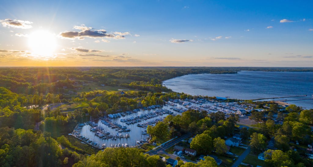
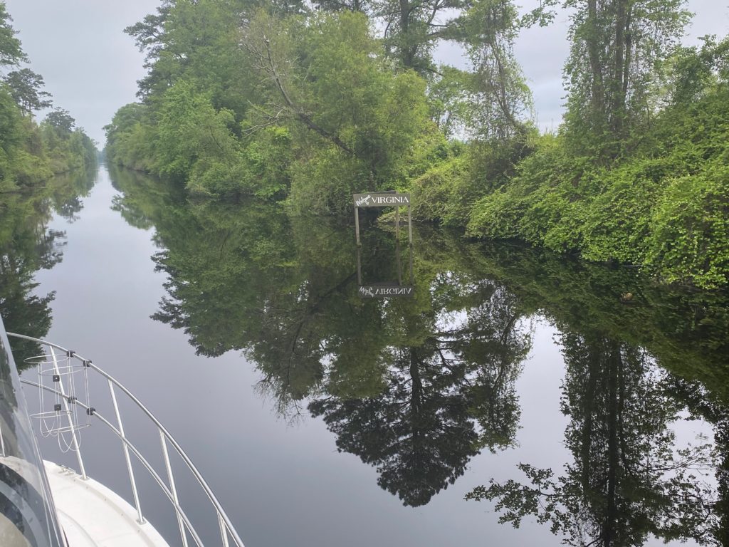
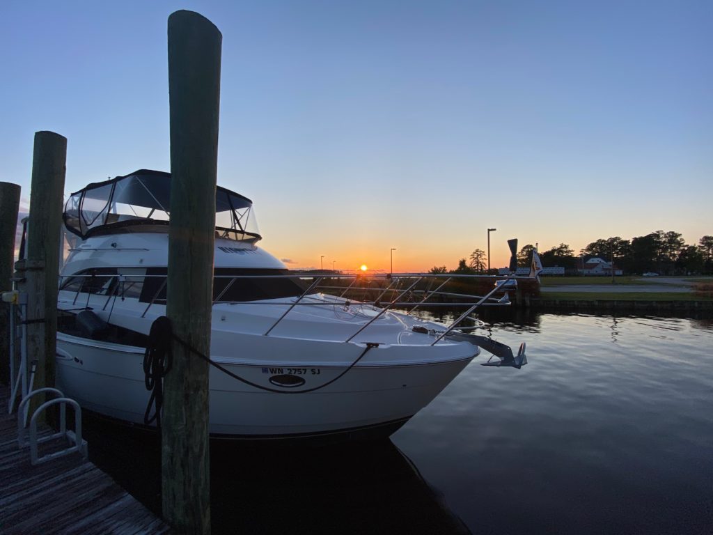
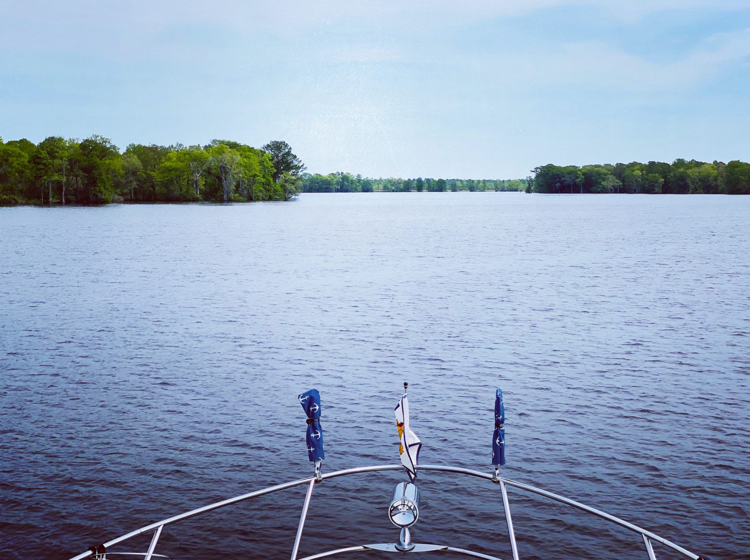
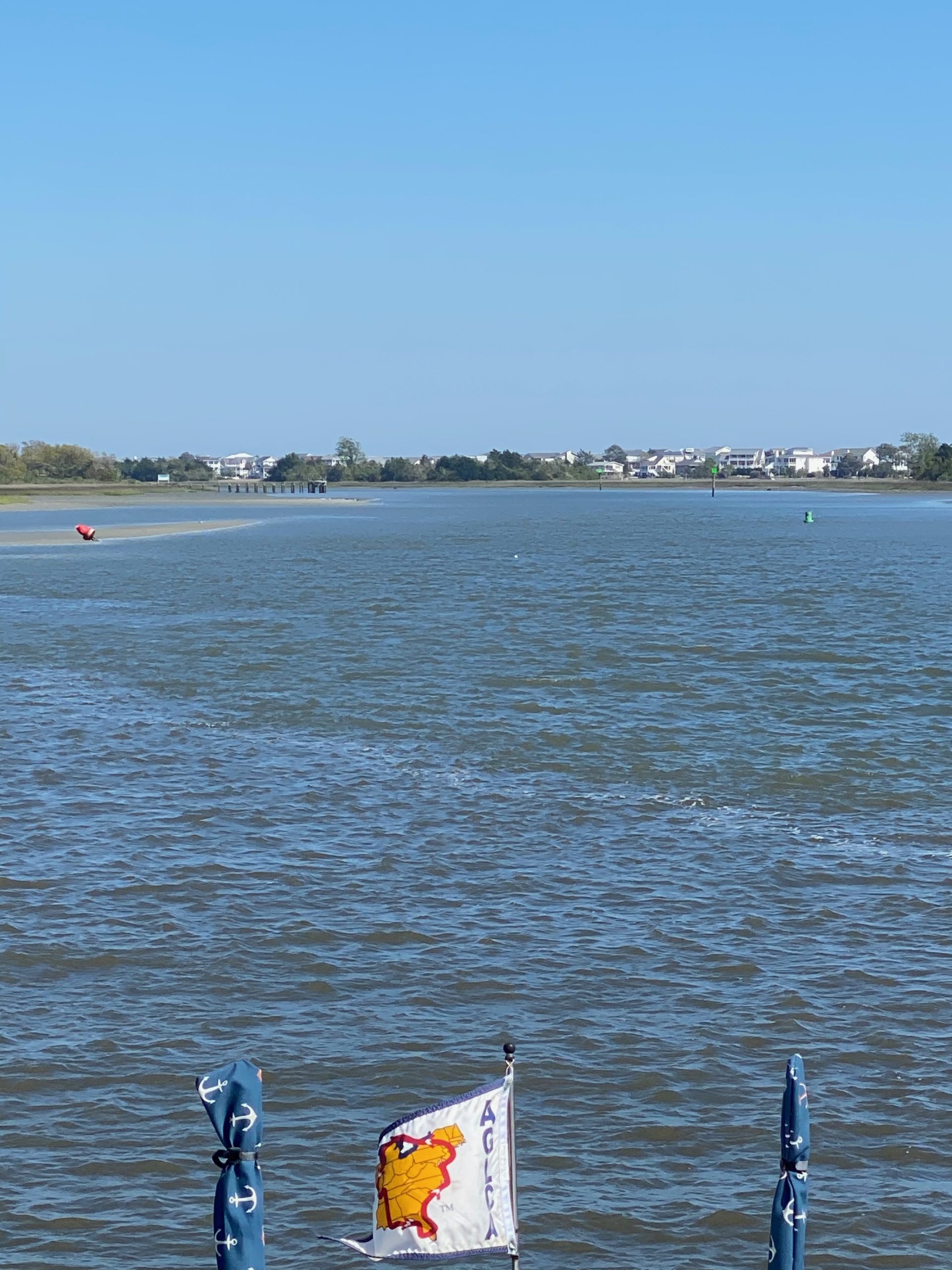
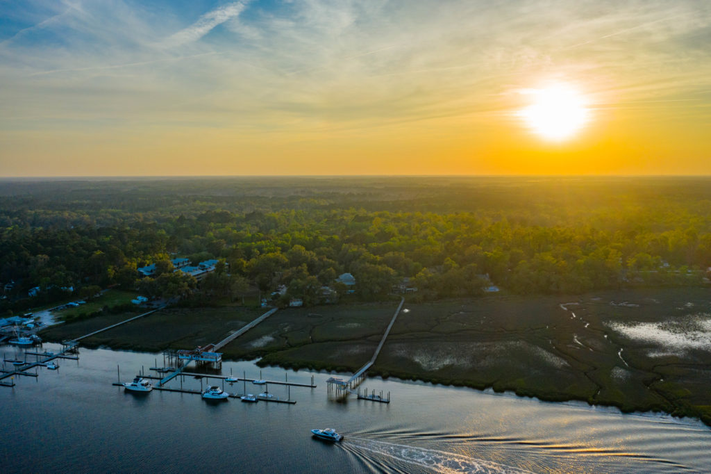
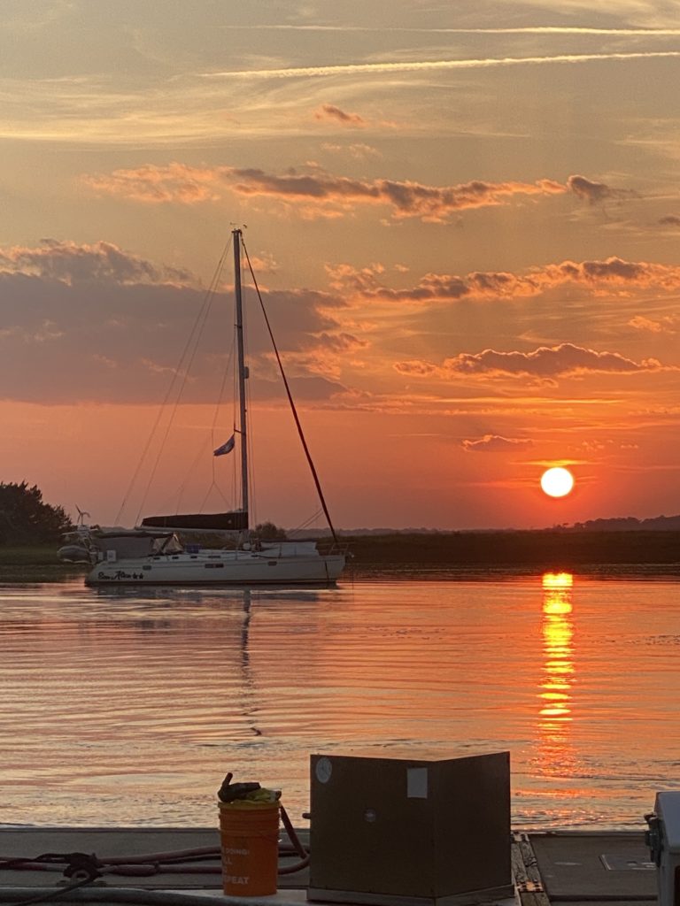
We had planned an itinerary of a couple of places up the Patuxent (“Pax”) River for the next few days, so after a night at the mouth, we pulled anchor and headed north towards Battle Creek, a spot recommended to us by David’s uncle John and aunt Joan, who have done extensive boating on the east coast. This was a lovely spot and felt actually a bit like we had set up anchor in Meydenbauer Bay, where we used to live in Bellevue, since we were surrounded by houses and people’s back yards. We were wondering what people thought of us basically dropping anchor in their back yard.
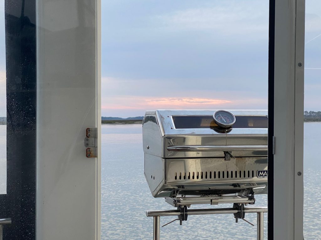
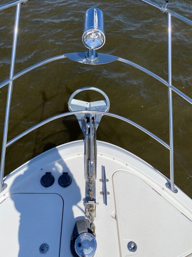
Not the worst office view in Battle Creek
We had only planned to stay there one night, and to move a little south the next night to St Leonard’s Creek, but we drove by the spot on our way to Battle Creek, and it seemed pretty similar to this one, so we were skeptical it was worth the hassle of moving. After working from Battle Creek, we put the dinghy down to head over to go scope out St Leonard’s creek, a ~20 minute dinghy ride down the Pax, and see if it was worth going after all (and to put some time on the dinghy, since the battery had been getting low and I’d done an oil change recently).
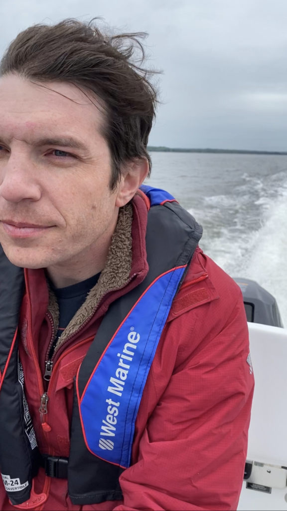
David with movie-star hair in the wind on the dingy, moments before the skies opened up
We pulled out of Battle Creek into the main Pax, but the weather switched quickly from overcast-but-fine to windy-and-fairly-heavy-rain over the course of a few minutes, so we aborted the run, turned around, and headed back to the boat. When we got back, we changed clothes and settled in for the night. With the weather being not-great both nights, we ended up not actually taking any pictures while here. Oops.
Our plan after this was to head back to the head of the Pax to a marina on Solomon’s Island to spend the night. David’s aunt Jan and uncle Jim live not too far away, so we planned to meet them at the marina for lunch. Unfortunately, I had a string of back to back meetings that afternoon and was not able to join them…and David didn’t take any photos!! I did a late load of laundry since it would be our last shot for a while, but we also neglected to take any pictures here, with the sub-mediocre weather. We’re terrible bloggers.
The next day, there were pretty heavy winds forecast for the evening/overnight, so we headed north to Herrington Harbour South Marina, where we’d planned to hide out from the wind storm. We filled up on diesel, pumped out, and set up on an awkward side dock for the night.
The next morning, about 30 mins after I woke up, I heard a horn outside of the boat and went out to investigate. A Norfolk Fire Department boat was coming over to see if everything was alright. Perhaps not too many people anchor in that spot? It was also pretty windy – so maybe they thought we were in trouble? Despite the wind, we seemed to have a good hold and our new batteries were not expected at our next marina for another day, so we decided to hang out for an extra day in this spot.
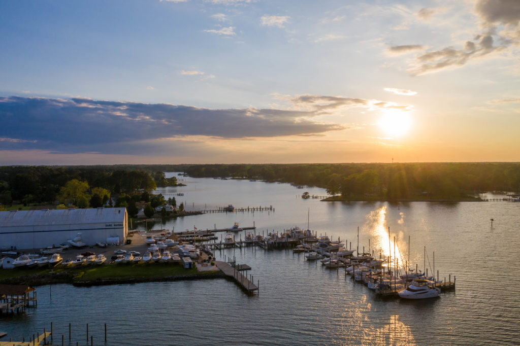
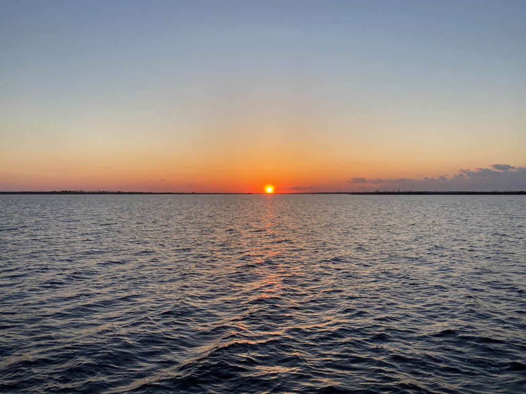
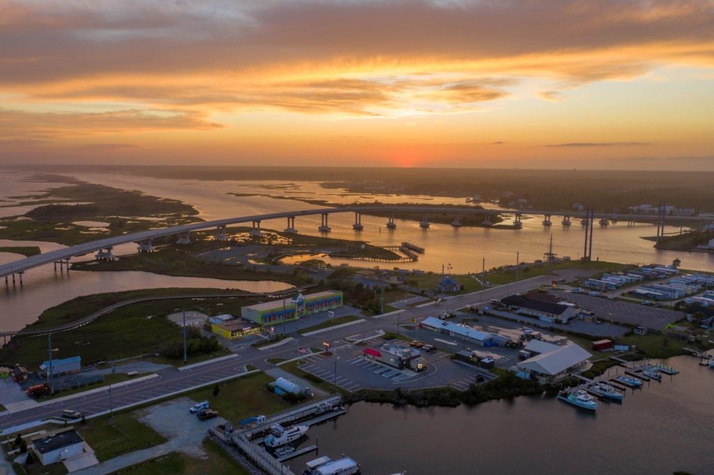
Obligatory sunset drone shot of Dare Marina. Highwind is at the end of the T-head at bottom right.
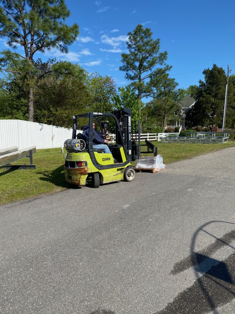
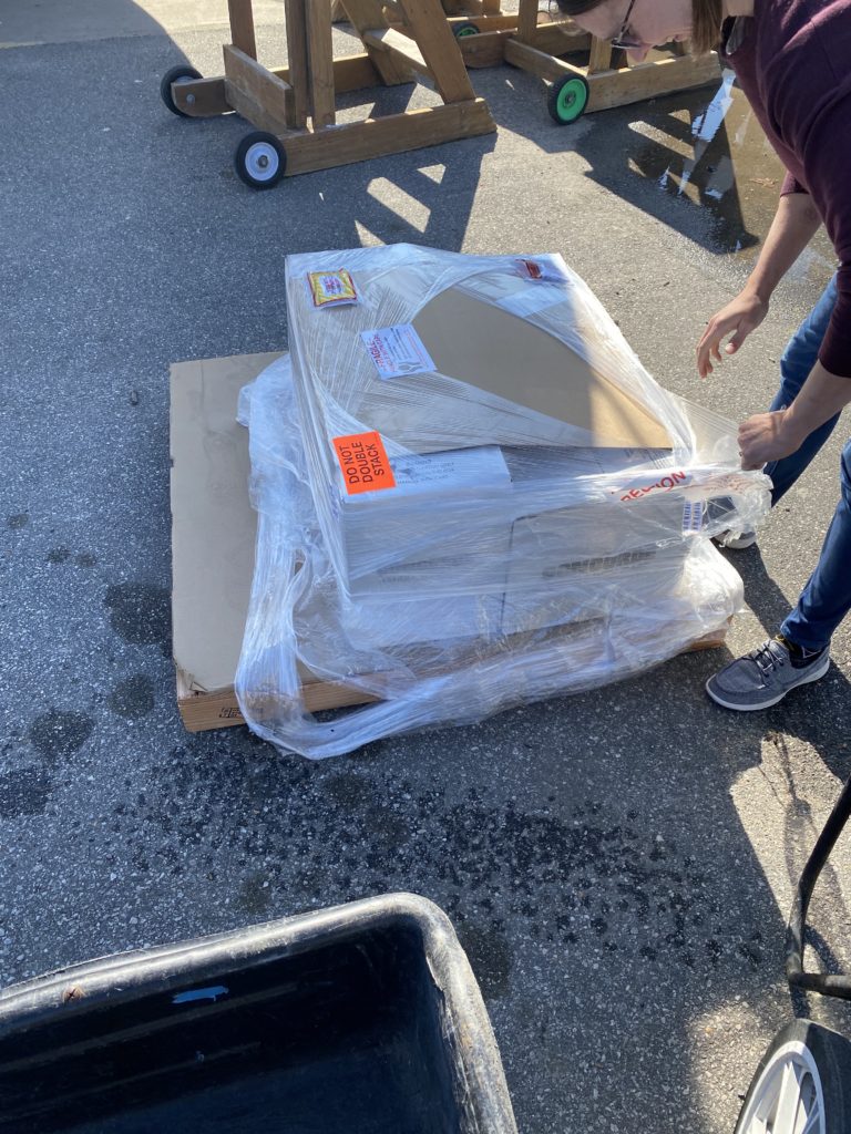
Next up, we cruised to Yorktown and tied up at Dare Marina. This was the only marina that was open to transients in Yorktown, and was more of a boating service marina than a standard marina (i.e. no laundry facilities!). We received the shipment of our 8 new batteries, and David spent the next two days installing them.
The marina helped us out with their forklift!
Unwrapping 800 lbs of batteries to bring to the boat
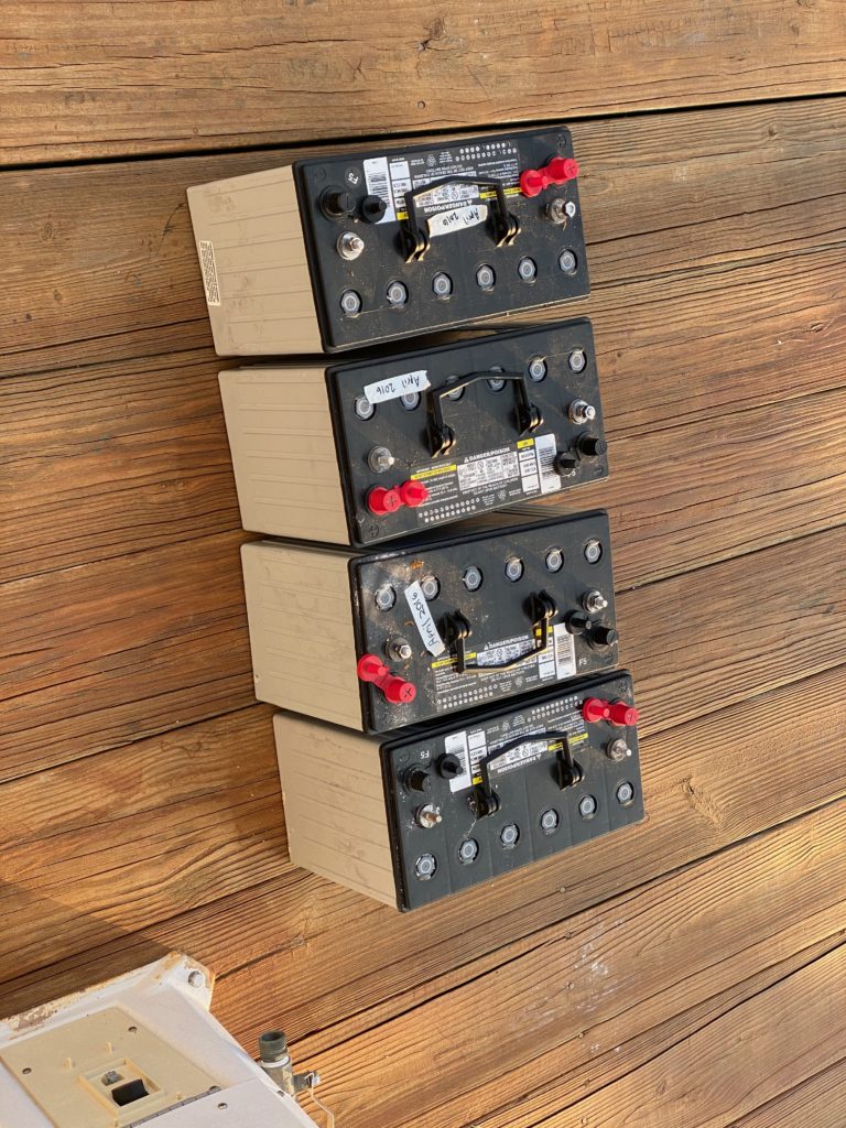
The start/thruster batteries, removed and on the dock
We knew there was an incoming wind storm on Thursday, but it was supposed to die down by the afternoon, so our plan was to head out to our next destination (a marina with laundry!) after work. The afternoon was so windy and it was still raining around 3pm, so we decided to extend our stay for one more night. As it turns out, everything did die down, and by about 4:30 it was extremely calm!
Sunset at Dare Marina
The next morning, we headed up to Deltaville, a stop that we basically made for the sole purpose of doing laundry, which we hadn’t had access to in several weeks at this point. We had an uneventful stay in the marina — so uneventful we apparently took no pictures of anything. Freshly laundered, we headed out again the next morning.
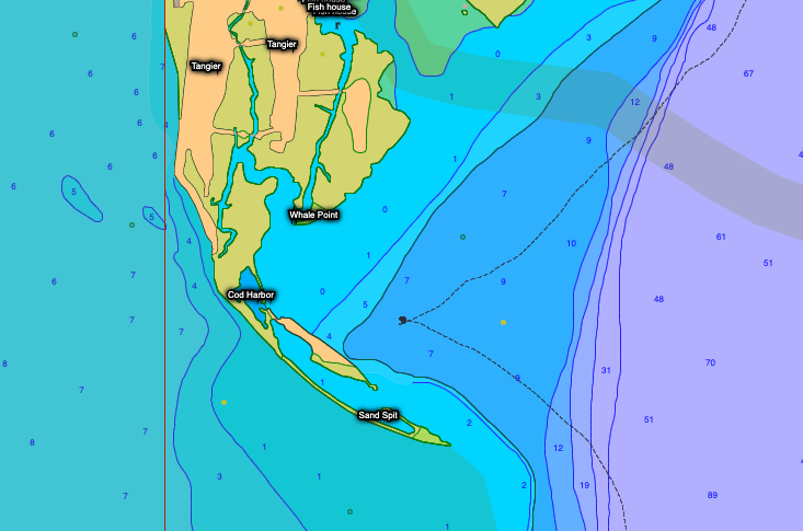
Next up, we decided to head to the east side of the Chesapeake for the weekend. Our crossing was a little choppy and required dodging literally thousands of crab pots. We knew that more wind was coming over night, so we chose a spot just south of Tangier Island, which we hoped would afford some protection. As it turns out, there are not that many anchorage spots around this cluster of islands, without going several miles up side rivers (which delays our ultimate progress north), so we picked the theoretical best of the available options. After much hemming and hawing about the situation, we decided to call it good here for the night and investigated our activity options.
We were really hoping the sandbar to the SW would provide adequate protection from the southerly winds expected that night. It did not.
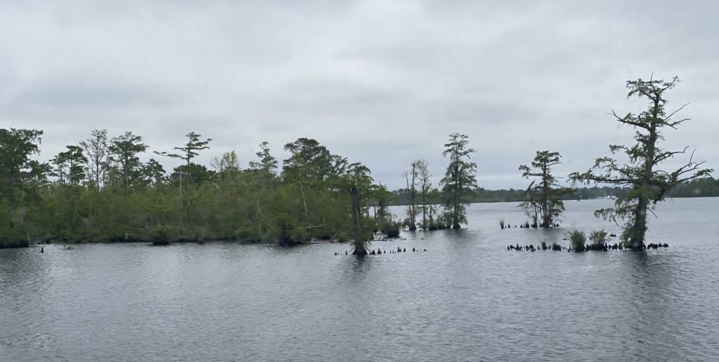
Tangier Island is a bit of a sad story. In the 1770s it started as a farming community, and later shifted to oyster/crab fishing as the primary resource. It started out not much above sea level, and global warming has already reduced the available land mass by 67%. In another 50 years, it will essentially be entirely under water and will need to be abandoned. Ironically, the isolated community is heavily bible-thumping and climate-denying, but still laden with interesting history.
Drone shot of what remains of Tangier Island, with us in the bay.
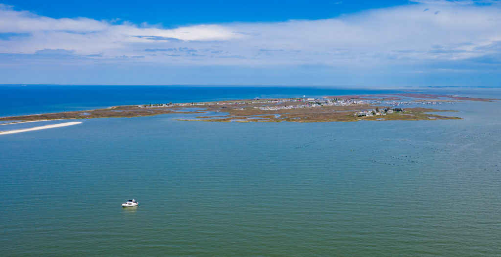
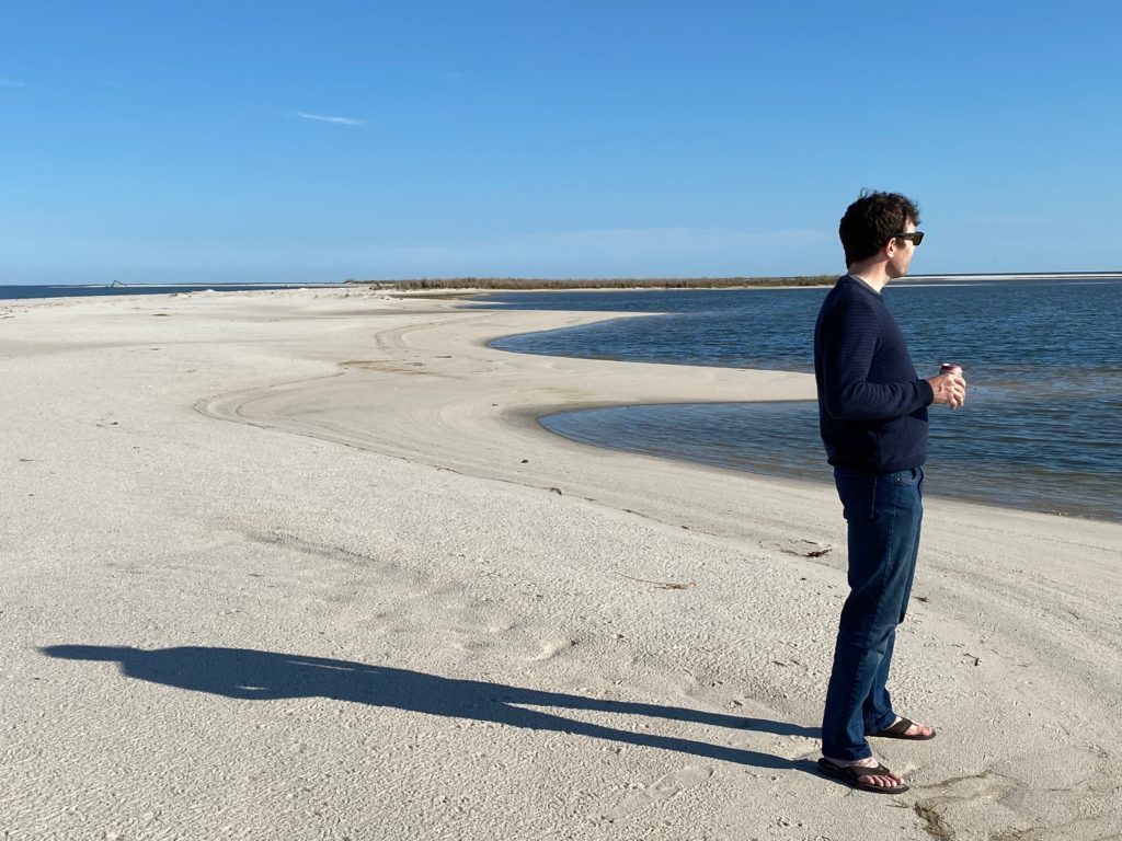
The island’s facebook page has asked visitors to stay away from the town due to lack of medical care available for Coronavirus, so we decided to not even pick up takeout from one of the local restaurants. Instead, we just put the dingy down to head over to the isolated white sandy beach south of town – our first real beach of the trip!!
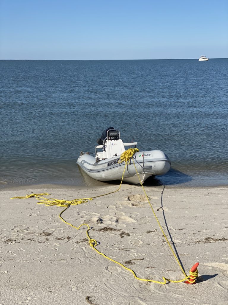
Our lazy dinghy tie-up
When taking the dingy to land, we use a bungee anchor system, where you boat close to shore, and toss an anchor off the back of the boat. This anchor is on a stretchy cord, so it allows you to continue to motor your way all the way into shore to hop off the bow of the boat (or at lease use inertia). We then have another long line tied to the bow. Once off the boat, you let the bungee cord retract so that the dingy is afloat (saves the bottom of the boat because you are not constantly beaching it in the waves for hours) and tie the bow line to something on shore so you can retrieve it. When you want to return to the dingy, you pull in on the bow line, stretching the bungee chain, hop on the boat, let the bungee retract again, pull anchor and you are off.
Now, I am explaining this because we knew we wouldn’t be on the beach for too long (Tangier Island was discouraging visitors to the town, though nothing was officially closed), the beach wasn’t huge, and the tide range is small, so rather than tying off the bow line to something solid, we dug an oar into the sand and wrapped the bow line around it a couple of times. We then went for a walk along the beach.
It was a nice day, so we decided to walk the entire beach, which took a while longer than anticipated. On the far south end of the beach, we looked back up and noticed a small white dinghy no longer on the beach, so we started working our way back. As the tide continued to rise, the dinghy had un-beached itself, and the oar had come free and taken the bowline with it, so now our dingy was happily anchored 50 feet off the shore in 3 feet of water. I had to swim out to the dingy to grab the line and bring the boat back to shore! Ooops. I guess we won’t be so lazy next time!
Hannah getting ready to go swimming
We returned to the boat and hunkered down for the evening, prepping for the overnight wind storm. It turned out to be a doozy – 25kt winds and constant rocking all night. It was probably the worst night of waves we’ve had on the boat before. Neither of us slept well in the irregular and heavy rocking, though the anchor held strong.
Sunset at Tangier Island
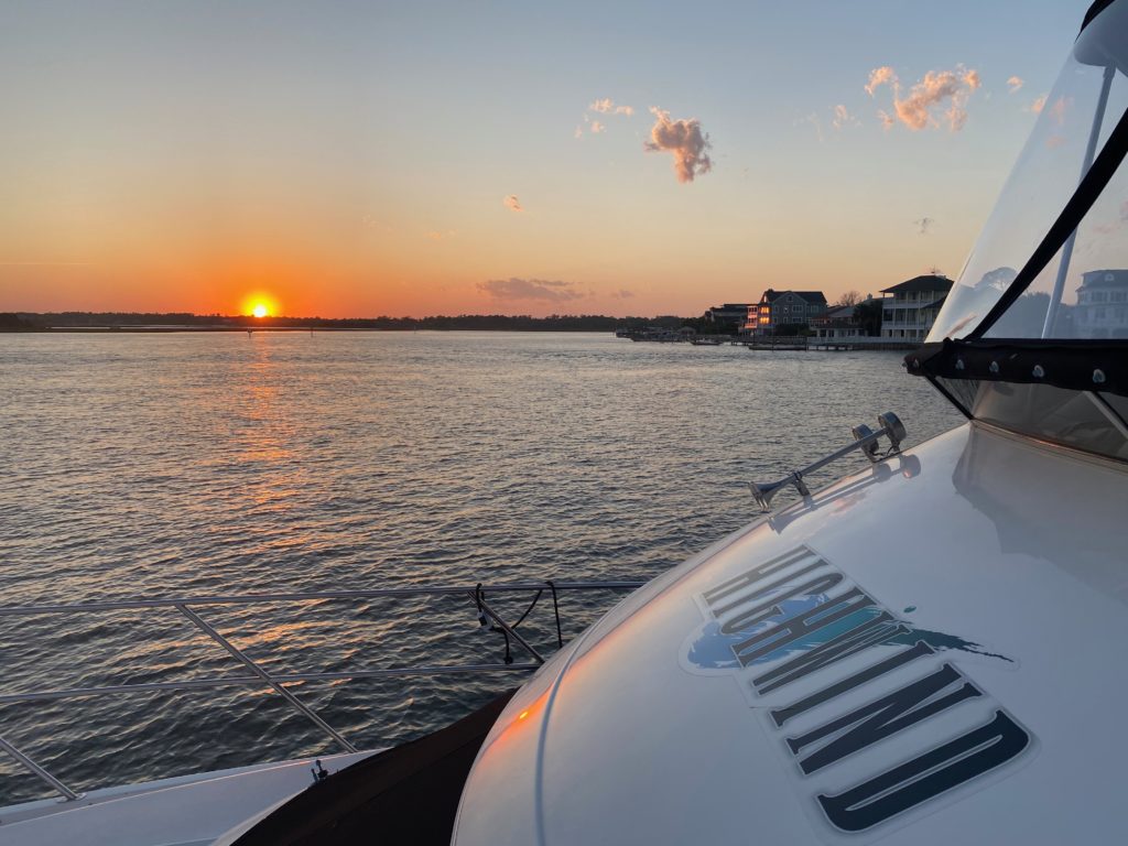
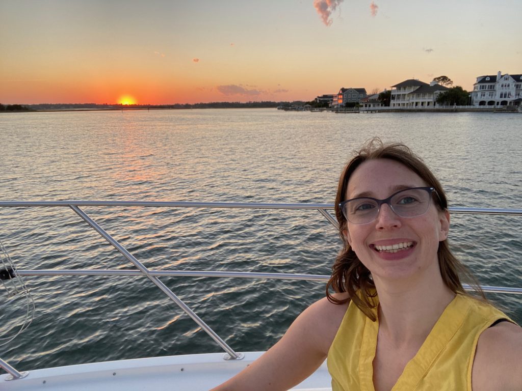
Our plan the next day was to head a ways north to the Honga River, and anchor in one more spot on the east side of the Chesapeake before heading back to the west side. As we approached the new anchorage, I did a quick check for the winds overnight and the following morning for the crossing. PredictWind (a wind app we use) was predicting headwinds up to 10mph in the morning, which is likely to add up to a bunch of chop crossing a body of water as wide as the Chesapeake. Right then, there was zero wind and we still had a few more hours of daylight, so we made a game-time decision to turn around and head across the Chesapeake. The crossing was glassy and the setting sun through the clouds made the best of a 1.5hr extension of what had already been a decent length cruise that day.
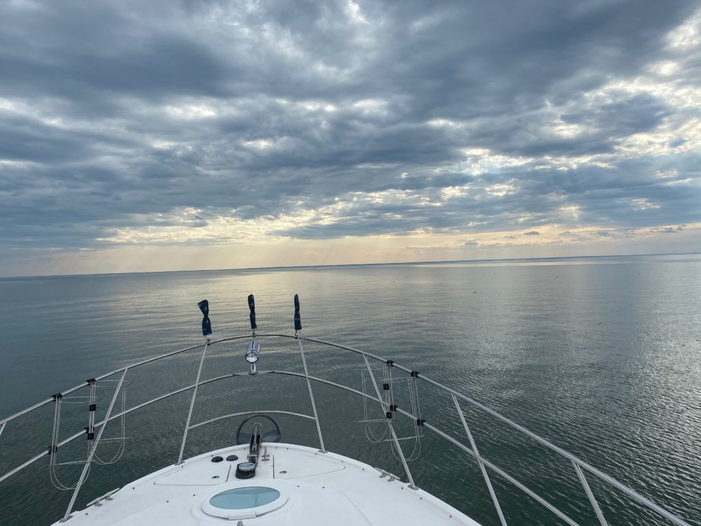
Smooth crossing west across the Chesapeake with atmospheric skies
We are now safely anchored near the mouth of the Patuxent River sitting in about 10mph winds that picked up after nightfall, so I guess we made the right decision! We are pretty well protected, so we are not being tossed around too much.
People ask us all the time what we use for internet access on the boat. It’s a vaguely complicated setup, so I figured I’d write it up in case others want to follow in our footsteps (or even better, have suggestions!)
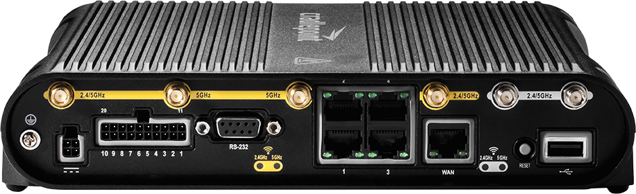
The Cradlepoint COR IBR1700
The central router on the boat is a Cradlepoint COR IBR1700. It serves the wifi network on the boat that everything, including our cell phones, connect to. I’ve set it up to run off the 12V on the boat through a dedicated breaker switch that we leave on 24/7. The unit comes with an integrated dual-antenna (2×2 MIMO) cellular modem with two SIM card slots, or you can get the four-channel version if you have a 4×4 MIMO antenna (rare). You can add a second modem to it with an additional two SIM card slots, and if you have the antennae for it, you can split your usage between the two modems.
We’ve struggled with the unit since we got it, due to various bugs in the firmware affecting us. However, with a firmware update on 7/15/2020, they finally appear to have fixed the crash-reboot issue, and we can finally re-enable carrier aggregation and not have crashes every few hours! In the middle of the night in central Maine, I actually measured some crazy bandwidth numbers, using AT&T:
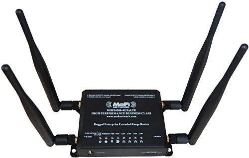
Our backup router is a MOFI4500. It only has one SIM slot, so you’re manually swapping SIM cards to change networks. It only has a single cell modem, which is slower than the Cradlepoint’s cell modem, and the Wifi is slower as well. But not by much. It’s also cheap and just works. For most boaters looking to get a reliable cell internet connection on their boat, this is what I tell them to get.
A MOFI4500 router — simple and cheap, and does the job.
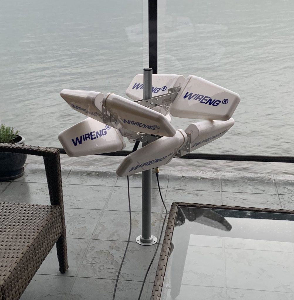
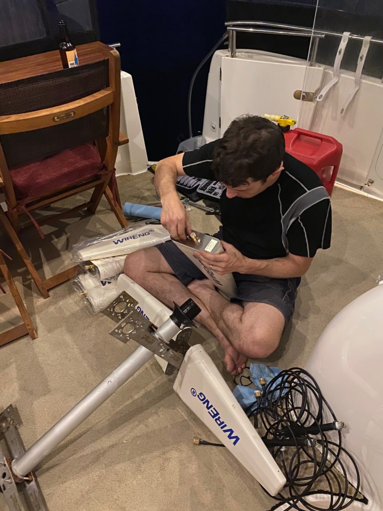
The biggest piece of our connectivity puzzle is the antenna. We started with a WirEng GigaMIMO Lite, and while it was an improvement over just tethering, we wanted more, so we upgraded to the full GigaMIMO recently, and it was a pretty big boost. Both GigaMIMO units are 2×2 MIMO antennae, which means it’s basically two antennae in one, with orthogonal polarization, so they send non-intersecting wavelengths, for double the bandwidth (if you have a router that supports plugging in two antennae.) After upgrading, we now regularly get several megabits of internet when our cell phones show zero coverage or are just squeaking by on 1x. We have only lost connectivity in the absolute boonies for a few minutes on one day of the trip so far. The full unit is nearly 3000$, though, so you have to really want that internet to justify it, as well have somewhere to put what’s basically a 3 foot cube of antenna with an unobstructed-by-metal view of the horizon. But in even moderate connectivity, when the cell phones in our pocket are struggling, we usually have 15-30 megabits of download, and in good areas, we’ve cracked 160 before.
Our original GigaMIMO Lite cellular antenna. The new unit looks similar, the white pucks are just around twice as long.
For actual data plans, we burn through huge amounts of data between work, gaming, streaming, and general browsing. We regularly use hundreds of gigabytes a month, which is far more than the standard plans will give you, so I had to get creative. We have three SIM cards on the boat: AT&T, Verizon, and Google Fi. The AT&T plan is through NoLimitData, and is a nearly unlimited plan (no throttling, 500GB a month limit). The Verizon SIM is a no-longer-available prepaid truly unlimited plan (no throttling, no limits), though you can get something similar through UnlimitedVille. The Google Fi SIM is our backup plan and lightweight international roaming solution, but it caps out at 22GB/month before you’re slowed to a crawl.
On our great loop trip so far, AT&T has usually had better bandwidth than Verizon, so it tends to be our default active SIM. I don’t yet have a solution for when we get to Canada, but that doesn’t appear to be in the cards until 2021, so we’ll see if things change by then. There currently don’t seem to be any actual unlimited plans there, no matter how much money you’re willing to pay, so we’ll cross that bridge in a few months as it gets closer.
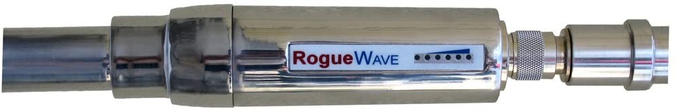
The Wave Wifi Rogue Pro wifi booster
Lastly, if wifi is available anywhere remotely nearby, we have a Wave Wifi Rogue Pro wifi booster on top of the boat, across from the LTE antenna. This works okay if there’s wifi within a mile or so, though we’ve gotten signals several miles away before under perfect conditions. Under almost all conditions on the loop, though, our cellular setup works so much better than even good marina wifi that we don’t even bother using this. We’ve only bothered I think once on the trip so far, and it was merely academic, while I was debugging some issues with the Cradlepoint’s cell modems. I expect we’ll be relying on this a lot more in Canada, given the likely no-unlimited-data solution we’ll run into there. More and more marinas are moving to 5Ghz-based wifi as well, which our unit doesn’t support, so I’m looking to replace this with something new soon.
Sunset at the Alligator River. Wide open space and no other boats.
We departed Belhaven with a plan to spend the next few nights on anchor. With my new job, we knew we wanted to do only short hops and our only schedule constraint was to arrive in Norfolk on Sunday to receive a shipment of new house batteries for installation. The route would take us up the Alligator River to Elizabeth City and then through the Great Dismal Swamp. After the windy night talked about in the last post calmed down, the rest of the evening was uneventful. We knew that we were in for a couple of days of sporadic high winds, so we decided to head north after one night to the northern part of the river and found a moderately sheltered anchorage near the mouth of the Little Alligator River.
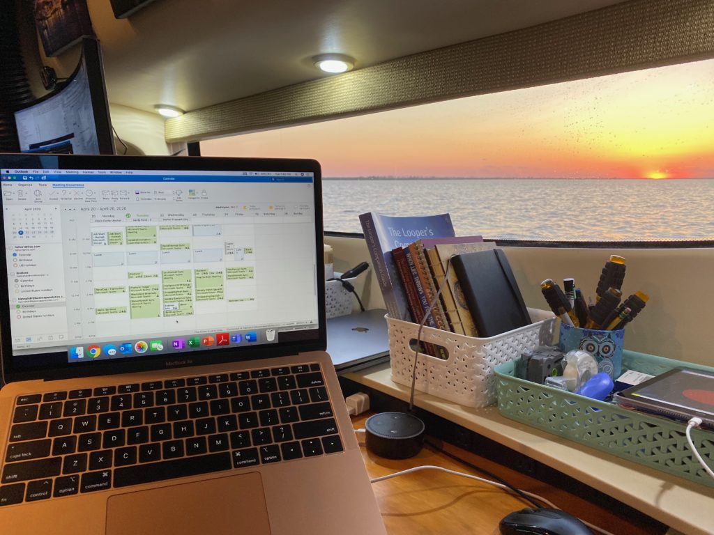
Not a bad view while working late in the Alligator River
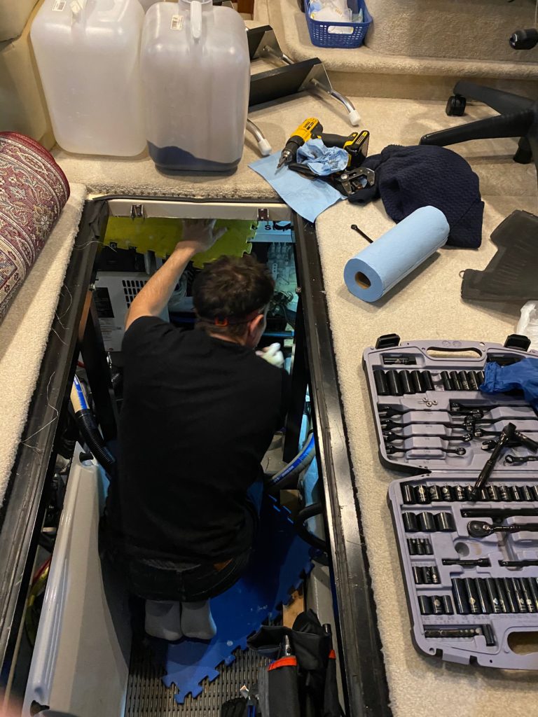
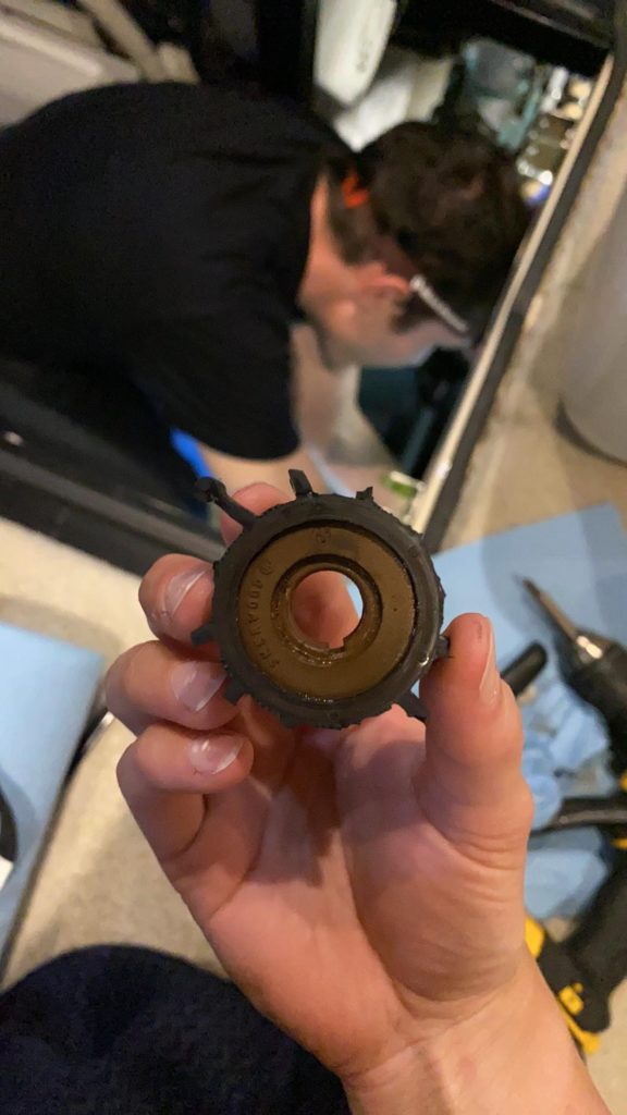
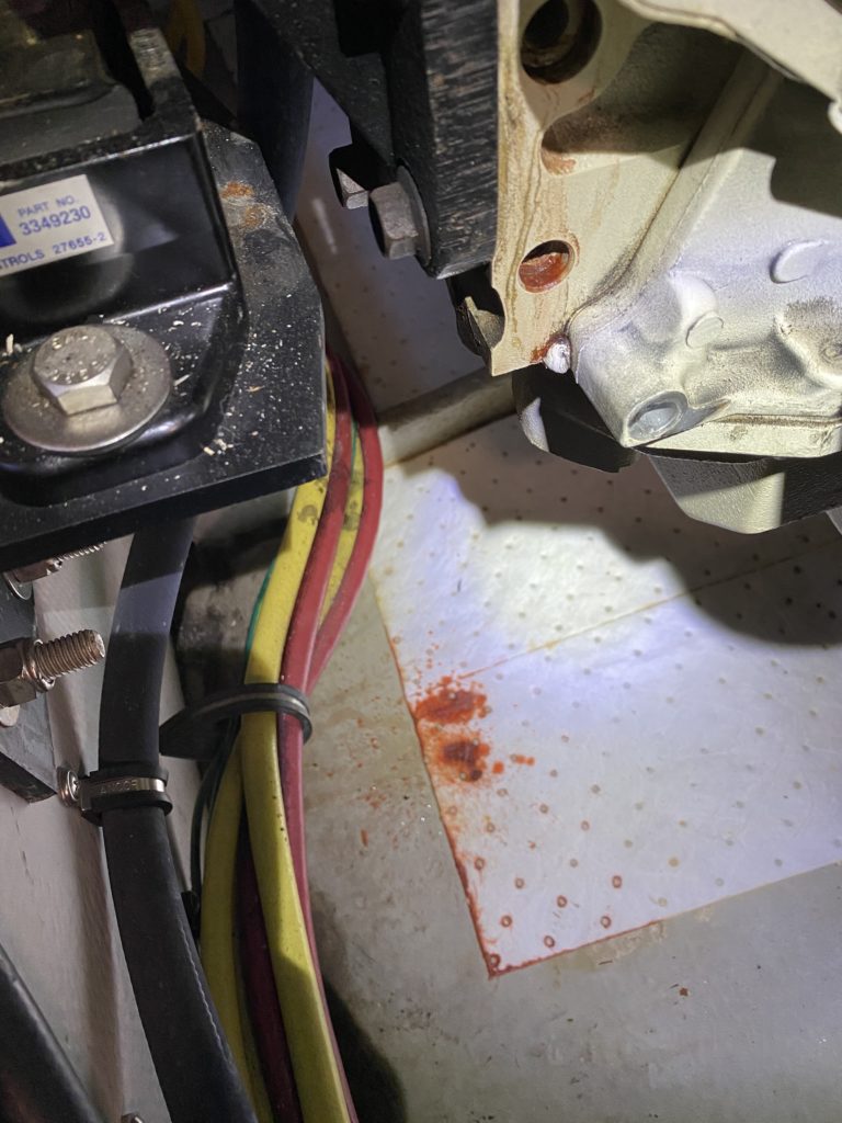
With being in no rush to get to Elizabeth City, and not many options for further shelter from the wind, we decided to stay for several nights in this spot. Since at both anchorages we were the only boat in sight, we run the generator periodically throughout the day to top off the batteries (most of the power draw going to David’s laptops/desktop and enormous monitor :)). On Friday night, the generator suddenly cut out after being on for only 15 minutes. An attempt to re-start indicated a low water flow error. David started his investigation with the sea-strainers, which filter out weeds and other detritus from the seawater pulled in to cool the system. This is something we should probably check regularly, but actually hadn’t. After cleaning out the muck and trying to start it again, but with no luck, David pulled open the generator and discovered the impeller (a regular wear item) was completely worn down. You can see in the pics below, it’s a round “cog” that is supposed to have lots of arms – ours had only 1.5! We got that replaced with the spare and everything worked again!
Our travails that night were still not over! Later that evening, while sitting around the salon, suddenly both anchor alarms went off at the same time. After holding fast in one point for the previous 2 days, an hour prior to this, the wind had picked up and pushed us 180 degrees around our anchor (pretty standard), and we’d stopped moving for an hour or so. That was fine, but then all of a sudden the anchor must have gotten pulled up and we rapidly moved another 120 feet or so toward the shallows (we only started in 7 ft of water, so …) We only had another 200 ft or so to go before we were in bad shape, so we were just about to turn the boat back on to take manual control of our direction when we stopped in place again — the anchor found a new hold. We decided that we’d rather have more room for error through another night of heavy wind and decided we needed to pull up and re-set.
Armed with microphone and headlamp, I went out the the front of the boat and started pulling up the anchor. We were being tossed about from side to side, so it took quite a while to keep re-adjusting the boat’s nose so that the anchor pulled from straight ahead instead of raking out to the side of the bow sprit. Once we finally lifted the anchor, the boat promptly shot off towards the shallows. With some strong revving of the engines and some excellent boat maneuvering, we repositioned and dropped the anchor again close to our original spot. We reset the bridle and hunkered down for another rolling night – at this point our 3rd in a row, and stayed fast in that spot for the rest of the night.
For the next leg of the Great Loop, there are two options – an inland waterway through the Great Dismal Swamp, or around the outside through Coinjock and then the Chesapeake Canal. Both routes join together on the south end of Norfolk, VA. The swamp canal is maintained to 6 ft depth by the Army Corps of Engineers and according to our pre-reading was a very pretty route. After calling to confirm it was open and being told that it was sitting just above 6ft for depths at the moment, we decided on taking this route.
Around the corner from Elizabeth City, we got our first hint of Dismal-Swamp-ness
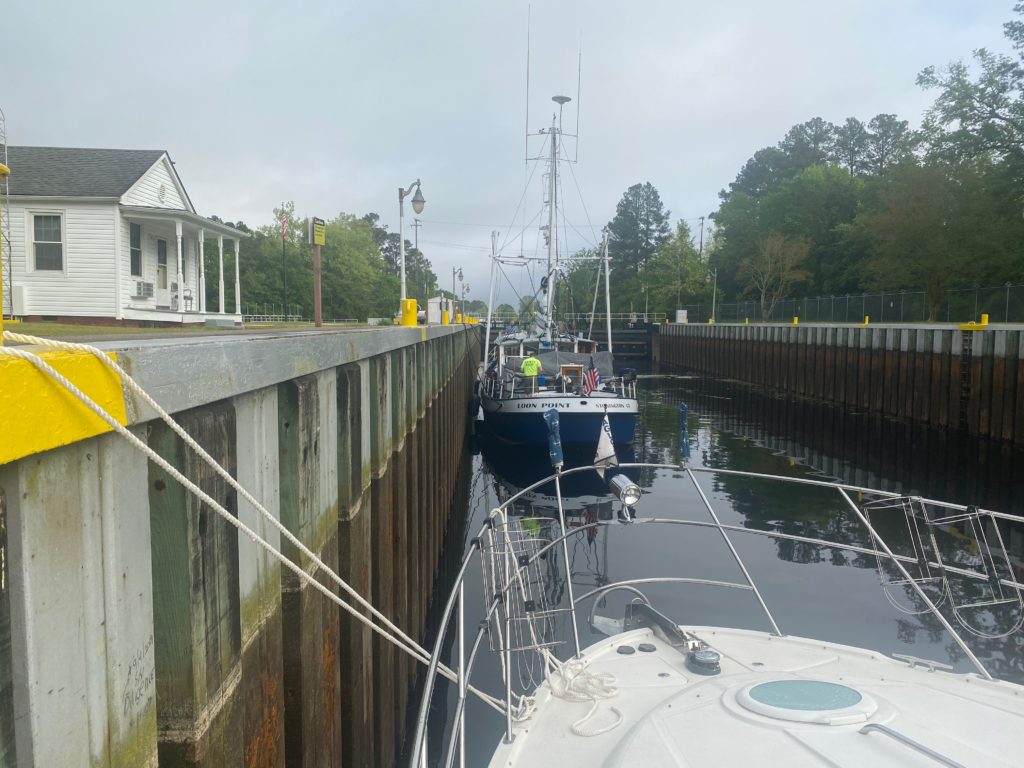
On Saturday we pulled up anchor again and headed to a spot north of Elizabeth City, basically as close to the entrance to the Great Dismal Swamp Canal as we could get. The locks at each end only open at 8:30AM, 11AM, 1:30PM, and 3:30PM, so you have to time how you wanna do things. It’s 19nm from lock to lock, with a speed limit of 6kts, so your best case scenario is a hair over 3 hours. With the whole thing being 6ft-ish deep, there was a pretty significant risk of at least minor propeller damage, so we decided to give ourselves lots of room for possible disaster and just make the 8:30AM south opening. That plan gives us plenty of buffer to get to the 1:30PM exit and make our way out through Norfolk.
We woke up early (6:30) the next day as we had to pull anchor and move the 10 miles to the entrance lock. We made it with plenty of time to spare, and found a fishing trawler had anchored the night there, with his anchor limply hanging from the front near the middle of the channel, and his butt firmly resting in the weeds to port. As we arrived, they figured it was time to wake up and started pulling anchor. For 30 minutes or so, we sat in was what was fortunately completely still and wind-less 6ft deep water waiting for the lock to open, with paint-mixing sticks poking out of the water not very many feet to the left and right of us, spray painted faded green and red, letting us know the extent of the “channel”. At the appointed hour, the lock opened and we entered the canal without incident.
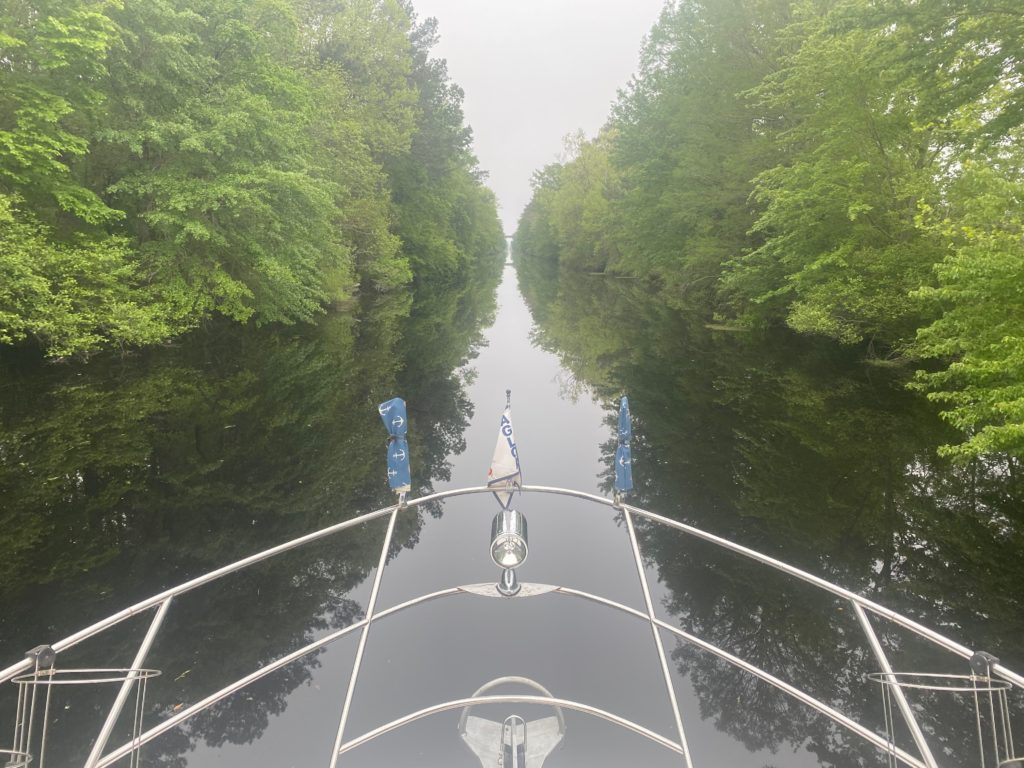
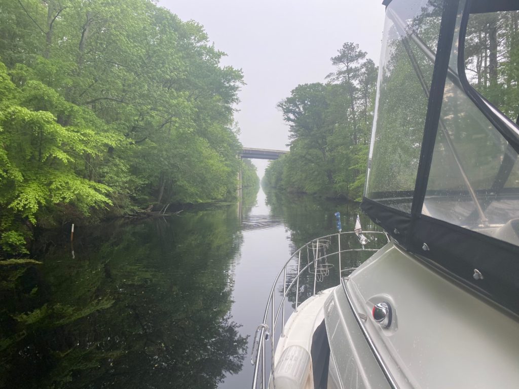
As we were in the lock, the operator told us that they had been getting reports of boats hitting submerged obstacles along the first few miles of the canal. Great…but we’re committed now! The route was speed controlled, straight, pretty but boring, and hovered around 6.2 ft deep the entire way. We lightly touched something on the bottom about every mile or so (*thunk*), immediately threw the shifters into neutral to make the props stop spinning before the solid object made it to the back of the boat, waited several seconds for inertia to take us past whatever it was we hit, and then put things back in forward and continued. Despite all the clunks, we somehow managed to not pick up any vibration indicating propeller damage.
Scenes from the Great Dismal Swamp
The north lock waiting wall happened to be right next to a decent shopping center, so we made tied up and ran off for a big grocery run while we waited for the 1:30PM opening, restocking the pantry for more time on anchor. The highlight of the day was the north lock operator, who shared historical details about the canal, and treated us with a conch-shell concert while the water level slowly dropped.
We finally exited the swamp and proceeded through Norfolk, which was a surprisingly endless collection of enormous dockyards and drydocks working on building/refurbishing gigantic ships, container ships being loaded and unloaded, and endless navy ships, for miles and miles. After 11 hours of cruising, we finally exited the Norfolk channel, popped across the bay, and put down our anchor on a huge area of 10ft deep flats just outside of Hampton. We opened some drinks and vegged out, pretty exhausted. We were super excited about starting a week of work after this weekend.
Ultimately, we decided that we’d do the outside route, if we were going to do this again. The Dismal Swamp was pretty, and neat, and locks are fun, but spending 3 hours with no music playing so you can listen for thunks, and endlessly worrying if you’re about to destroy your running gear, isn’t quite worth it. If they’d put another foot or two of water in there, it’d be a lot more exciting of a proposition to redo.
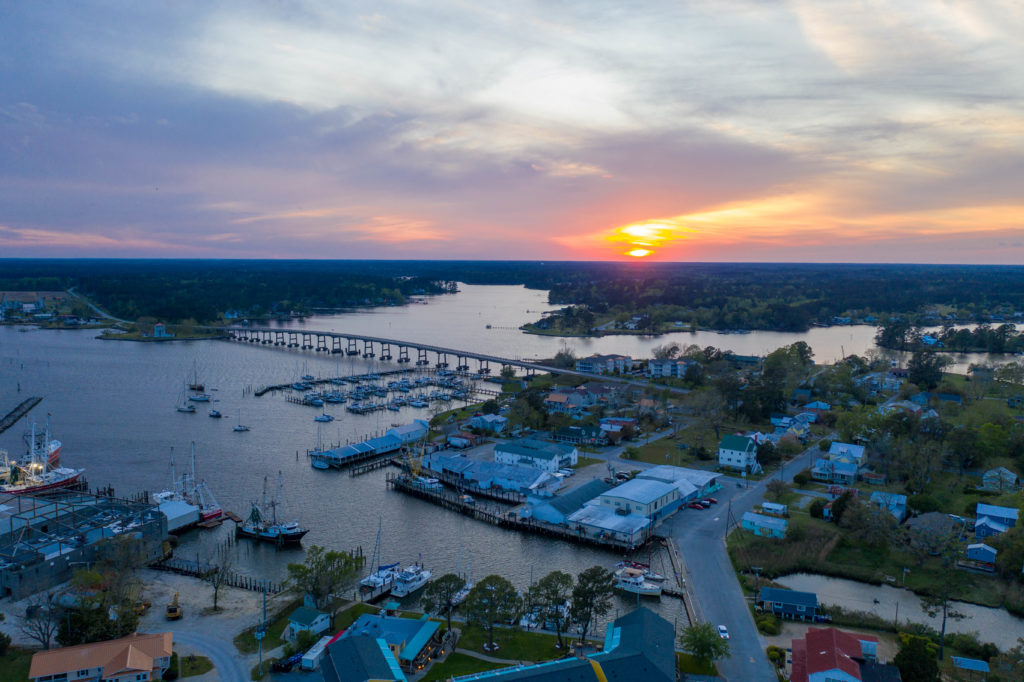
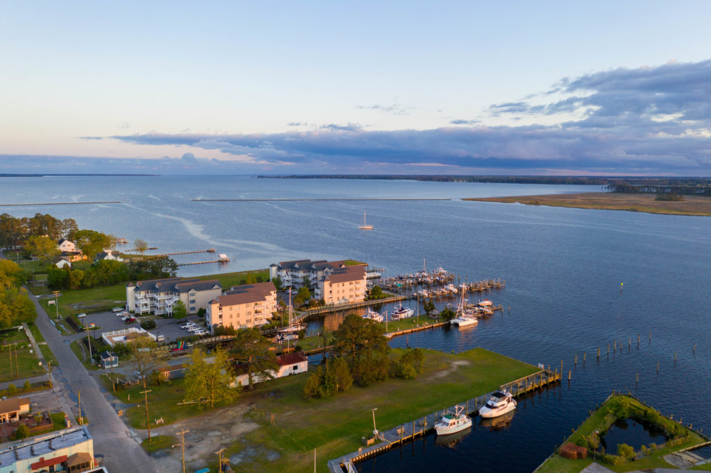
Oriental, NC’s downtown area. We’re at the marina at bottom center.
In between high school and college, I took a year off (read: I was told to take a year off to get my shit together) and spent the summer portion of that gap year in the tiny town of Bettles, AK. 100-something miles northwest of Fairbanks, north of the Artic circle, the town carried a full time population of ~75 people, most of whom were native alaskans, with most of the non-natives running away to warmer climates in the winter. Everybody knew everyone else, and even those of us one-summer seasonal folk, by the end of the summer, knew everyone and they all knew us. It was pretty rough leaving that community that fall.
Our journey up to Oriental was uneventful, and we put in at the Oriental Inn and Marina. The dockmaster was a super nice jolly guy and very proud of his supplies of hand sanitizer for customers to use. Oriental felt like a bit of a remnant of that Bettles feeling. It was an order of magnitude larger, population-wise, but the “main drag” was a single-digit number of commercial buildings, people were sitting on park benches watching the cars go by, families walked together to the two restaurants in town, both of which were serving take-out dinners, everyone waved to each other and stopped to chat (many not 6 feet away), etc.
Amidst the wind and rain, Hannah did find some time to play with making shapes on the bow
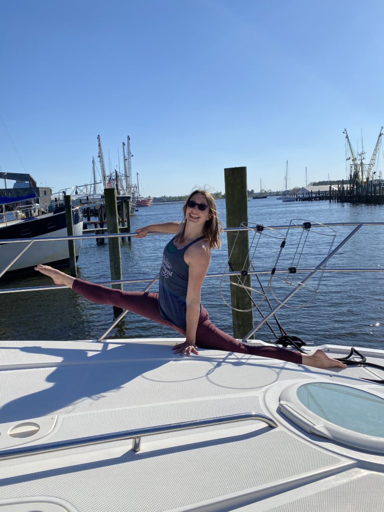
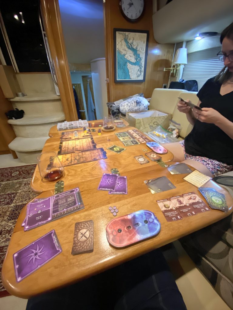
We had a weather hole of 2 days of rain that planned for Oriental. When we arrived, we picked up our new anchor bridle, grabbed some more spares and supplies while we had a good marine store around, got some fresh groceries, and mostly hung out and worked. The next day brought us some pretty absurd rain (still not as bad as Surf City was), and we just holed ourselves up inside. After the rain stopped, we ordered some takeout dinner that was tasty, and had a nice 45 minute walk around the town together while our dinner was made. We got in a couple rounds of Gloomhaven and went to bed.
Getting in a game of Gloomhaven on the boat
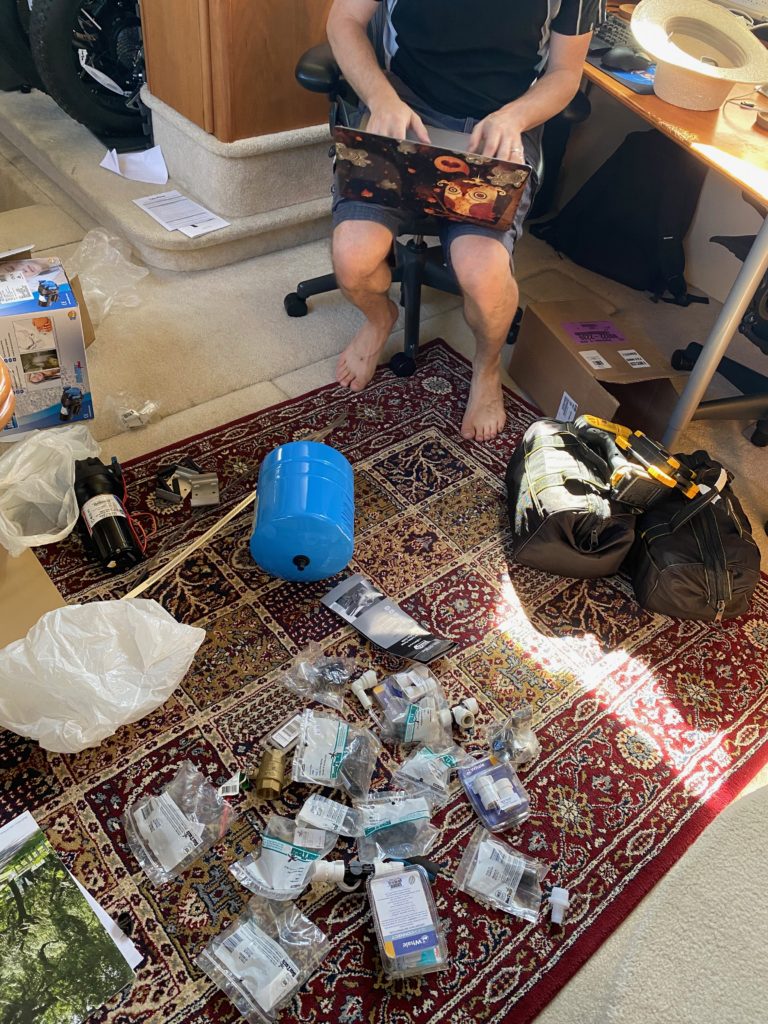
Another day of rain passed with us doing projects and research. Our bow thruster has been nearly useless the entire trip, and I’d done enough testing over the past couple weeks to determine that the thruster and wiring were fine, actually our batteries were just dying. They’re over 4 years old, were a low end brand to begin with (bought by the previous owners of the boat), and had been abused by dying alternators and some broken charging relays over the past few years. I’d been trying to decide for a week or so whether to go crazy and buy a whole new smart 4-stage externally-regulated alternator setup, a nice Lithium house bank, and dc-dc chargers to charge the start banks.
After looking at prices and complexity of trying to land this project in the midst of Coronavirus, I finally decided to pass and just go with a new high-end AGM bank. I started setting up plans to pick up four new Lifeline 3100T start batteries for our engine and thruster banks and four 6CT house batteries, which will increase our house capacity from 380 Ah to 600, a nice bump, and they’ll fit in all of the current (somewhat hodgepodge) battery cases and boxes, since getting new battery boxes shipped right now is a nonstarter. I can clean it all up later in the trip once I can get some shipments lined up. So now we’re trying to line up a spot to meet those eight batteries at in the next couple weeks, then we get to figure out how to recycle 8 used batteries while looping as well… A problem for another day.
Sunset over Belhaven, NC, facing south. The town dock (with our boat) is in the bottom right, with the Belhaven marina at center. The ICW is out to the top left of the frame.
On Sunday morning, we departed for a 4 hour trip up to Belhaven, NC. Hannah had been talking this town up for weeks, under the impression people had been talking about it constantly on the Great Loop Facebook group. Later, I realized that there had just been the owner of the Belhaven Marina posting different pictures once a week, like a good social media coordinator, and the trick had totally worked on her. The town was essentially totally shut down, and we stayed on the cheaper town dock (sorry Belhaven Marina), despite a sketchy 5 foot depth entrance. But we had another day of nasty weather to avoid, so we hung out for two nights.
I really need to shave more often
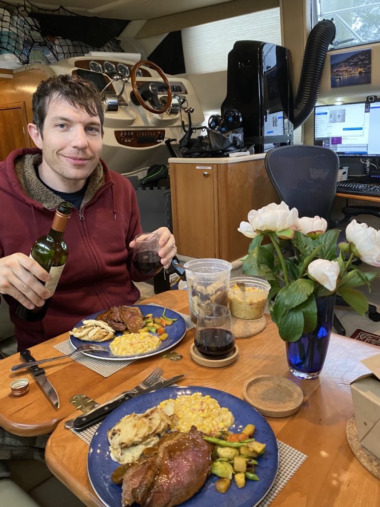
Our main highlight of Belhaven was that the dockmaster suggested one place to order a nice takeout meal, Spoon River, so we did. When normally open, it looked like it would be a quite swanky restaurant, but as it was, when we showed up to pick up our meal, the owner seemed thrilled to have some customers, and generously gave us a bottle of wine with our dinner and a bundle of peonies (her husband is a florist.) We took the meal back to the boat, and it was delicious. It’s unclear if anything else is worth going back for in Belhaven, but that dinner was. It turned out to be 2 full dinners (for two) and a lunch (6-ish meal portions). I hope they make it through the recession and we can come back there again someday.
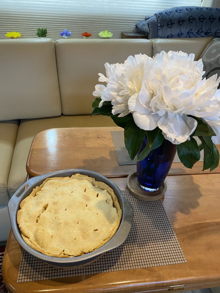
Hannah started a new job this week, so we’re going to try to be a little more conservative with our transit stages for a few days while she gets her feet wet at the new gig. Hannah spent Monday inside while it rained for her first day at work, then was inspired to bake a pie, which we happily consumed alongside our rapidly-booming peonies.
We headed out early this morning, with me driving most of the time while Hannah resumed her usual nonstop meeting schedule, to the next possible stop, an anchorage at the southern tip of the Alligator River. The weather report in Belhaven said it’d be somewhat windy today, but it apparently changes drastically when you go 30 miles east, and we came out of the channel into a 20-25 kt southerly wind. So, our first usage of the new Mantus anchor bridle was under duress, and it worked great. We anchored in 7 ft of water, put out almost 100 ft of chain (we didn’t wanna move and we had plenty of room to swing), and went in to work for the day.
As it turns out, we are a long way from anything here. It looks like Belhaven is actually the closest anything-resembling-civilization, and that’s back nearly 40 miles west of us. The whole day, my cell phone was showing either no signal or a bar or two of 1x. But it proved that our cell antenna was working well, because we were both able to be on conference calls all day, often with video chat.
Just spinning around in the breeze all afternoon
We spent the afternoon getting regaled by nearly nonstop fighter jet passes, presumably from the Norfolk base to the northwest. The wind eventually died down after sunset, and we’re enjoying a pretty calm evening, though the fighters keep passing overhead.
Our plan for the next week involves making our way up to Elizabeth City by Saturday night, and going through the Dismal Swamp Canal on Sunday. It’s a supposedly very pretty alternate ICW route, but it’s maintained at only 6 feet of depth the whole way and is pretty notorious for bumping your boat with sunken logs and such. We’ll see if the risk is worth it or not, if we end up needing to get our props pulled off in Norfolk.
Drone view over Surf City. Highwind is the boat in the bottom left-ish corner of the shot
We left Tina’s pocket and continued northward towards Wrightsville, which was to be our last anchorage before heading to Topsail Island, Surf City for re-provisioning. This turned out to be a pretty busy anchorage. We were warned by ActiveCaptain that “the locals don’t understand “no wake” zones”, which turned out to be true, so in addition to a pretty windy night, we had a relatively tippy evening until sunset.
Sunset shots in Wrightsville
Possibly due to a combination of both, our anchor bridle snapped after the sun had gone down before we were heading to bed. This is a device/rig that clips onto the anchor chain and has two lines that we tie to the two front cleats on the boat. This takes the burden of the load on the anchor and spreads it to the cleats, rather than the chain pulling directly on our anchor winch. When the rope snapped, the device sank to the bottom of the bay. With no other backup device, we ended up threading the remaining section of the line through a link in the chain and calling it good for the night. The next day, I called ahead to our next couple planned marina stops and found one where with a marine store that is actually open and will deliver a shiny new bridle system right to the marina for us. Unfortunately, we won’t be getting there until Friday (4/17), so we’ll have to make do until then.
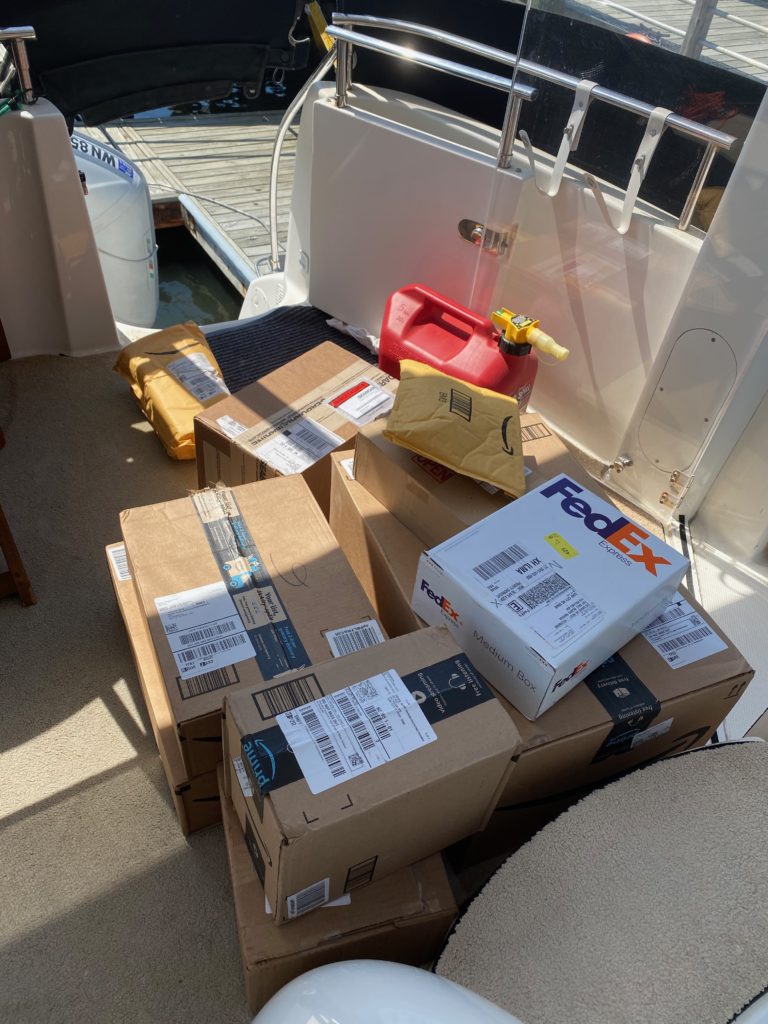
Our next planned stop was Topsail Island Marina in Surf City. We had planned this in advance for a couple weeks and had several packages sent there for various boat projects. You know, just a few packages…
The dockmaster brought them to our boat in a cart!
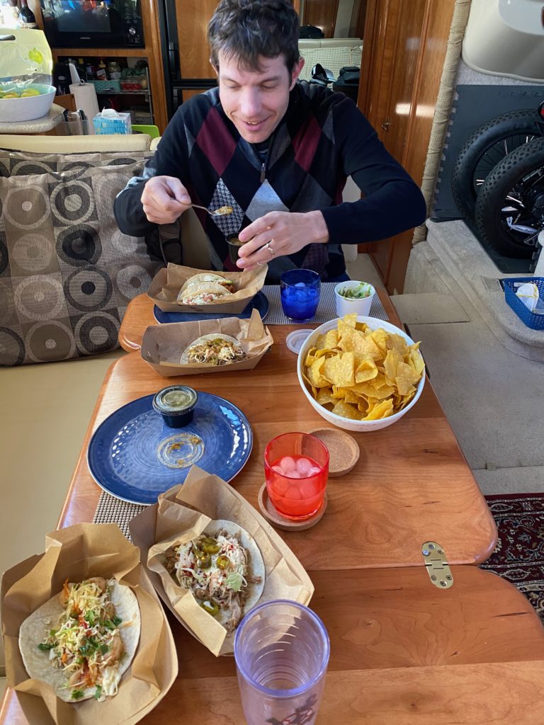
Since we knew that a windstorm was coming, we decided to lengthen our stay so that we’d be tied up in a marina when it hit. Surf City was actually a pretty cool town, which would have been fun to visit had anything been open. We did manage to get some awesome tacos, just before even that closed due to it being Easter weekend also.
Delicious tacos
We spent the weekend working on various projects, including fixing a coolant leak on the Port engine, changing the oil (4 gallons per engine!) and both oil and fuel filters for both engines (an all-day activity), and updating some of the relays for connecting our various battery banks to 21st-century technology.
The storm hit on Sunday and it was crazy. A couple of hours of heavy rain in the morning and high winds throughout the rest of the day. With the winds that high combined with that much water, our complex-shaped bimini canvas has a large number of leak points, so we had a full contingent of buckets, pots and pans to catch the drips, but still ended up with a very wet carpet.
We didn’t really do much exploring in town. The beaches were completely closed to the public (even the carparks, so you couldn’t even walk up to the edge). In fact, our first and only view of the beach was actually by drone at Sunset on Monday night :).
Late in the stay, we had a nice evening where I got the drone up at sunset
With the weather looking like it was getting better, we set sail on Monday, planning for another couple of days on the hook before our next spot. The next anchorage, Mile Hammock Bay, was described as a favorite spot for Loopers, so we were eager to check it out. When we arrived, we were the only boat there, but it turned out to be neither pretty nor remarkable in any way. It was next to an army base and we did see some folks doing donuts in the parking lot/pier on shore… Also, when we read the Navionics entry about it, it mentioned, “4 stars: don’t be surprised if you drag anchor in here.”
Full anchorage in Mile Hammock Bay
As the afternoon wore on, a bunch more boats arrived — there were 8 of us by the evening! The wind also picked up and we were being jerked from side to side. This proved too much for our temporary rope-through-the-chain bridle solution, which snapped a couple of hours after we’d set the anchor. David managed to use his climbing rope skills to create an equalized across 4 chain links bridle through which we threaded our dock lines to the cleats. The side to side from the inconsistent wind had also been making us slowly drag across the bay, but everyone else seemed to be dragging at about the same rate, so it all evened out, and no one hit each other, despite several anchor alarms going off throughout the night making us get up and check where everyone was.
Temporary bridle situation – held up well!
When we woke up in the morning, the bridle was still holding. We had originally planned several anchor spots this week on the way to Oriental, hoping that the temporary bridle solution would hold up for a couple of days. Alas! We decided we would change plans, skip an interim anchoring stop, and head straight to Morehead City the next day, where there was an open marine store with some spare parts we could buy.
As we left the bay, our plan was to anchor outside of Morehead City, re-rig the temporary rope and line bridle and hop in the dingy to the marine store. However, about 10 mins into the morning cruise, the wind picked up to well beyond what the original forecast had been for the day and the sky opened up and rained like crazy again, so we decided to call a marina.
We had a pretty nerve racking journey, which included a failed attempt to rescue a large fishing vessel whose engines had cut out and was drifting into the shallows. In the course of this, our bow also ran softly aground, and the wind was pushing us both quickly into a shoaling area. The depth meter was reading 4 ft or less during most of this attempted rescue. Due to the wind and the fact that their boat was much larger and heavier than ours, we weren’t really able to budge it in the wind at the awkward angle we had to be at to not run hard aground, and we unfortunately determined that we would be unable to help them. We were about to cause significant damage to our own boat in the process of the rescue, so we wished them good luck, quickly loosed the lines and cast off, frantically reversing our way back to the channel, a mere 50 feet away.
When we arrived at Morehead City, just as we were making the 180 to dock in our spot, a huge gust of wind threw us right alongside their gas dock. This was conveniently located directly behind our intended mooring spot, so we were able to walk the boat into the right place and tie off. But the wind that then picked up had us firmly on the dock, unable to make any maneuver to leave without rigging up some awkward lines. Yikes! All’s well that ends well.
We stopped by the marine shop, picked up a few makeshift anchor bridle parts for emergencies, fired up the heater (it was down to 45 degrees today), and worked the rest of our day from our warm boat cabin. So, we’re safely tied up here, and keeping an eye on the weather to continue northwards to our next planned stop, where the new anchor bridle awaits!
Sunset selfie at Butler Island. David didn’t want to get up from his computer to join me 🙂
We’ve been working our way up South Carolina and are now in North Carolina, so that is state number 4 of the trip! Since we left Charleston, we decided to primarily anchor out, and that’s what we’ve been doing for the last few days.
Anchoring at Awendaw Creek — very pretty spot, running two different anchor alarms because the margin for error is so small
After leaving Charleston, we spent a couple of days cruising up the Waccamaw River – a beautiful river where we cruised through endless trees and didn’t see much in the way of civilization outside of a couple of marinas. We stayed in two different anchorages on the river – Awendaw Creek and Butler Island. Both of these anchorages we were completely alone. Sadly on our last night on the Waccamaw, we spoke with David’s aunt and uncle who have spent many years cruising the ICW and recommended a couple of side-creeks to visit that we had already passed! Ah well – we can always loop again 🙂
Probably the most boring timelapse ever.
Some scenes on the Waccamaw
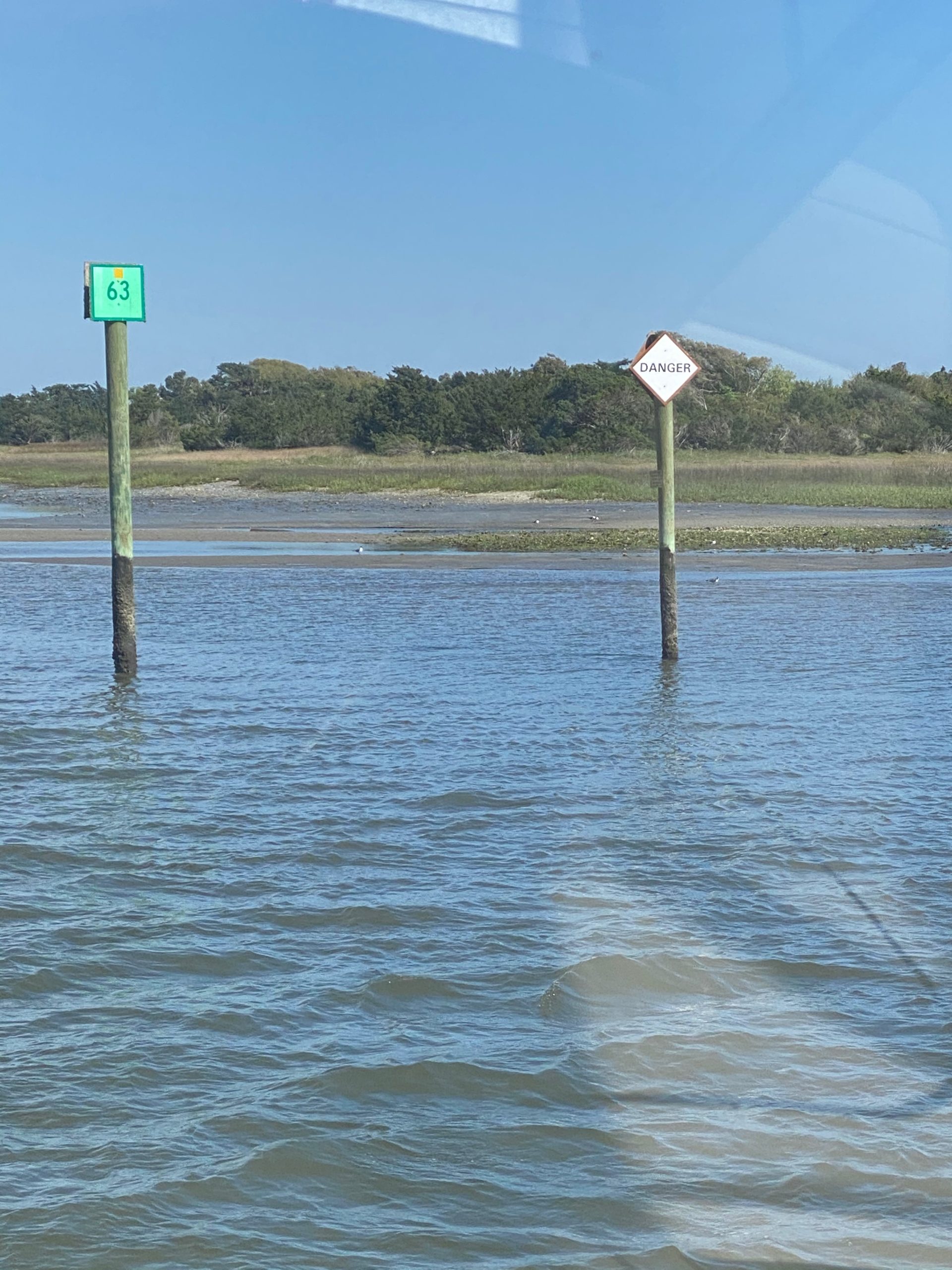
The next section of the ICW was a very narrow channel with almost no anchorages for about 60 miles. We ended up doing this in one day, which was a long and very nerve racking day. Turns out that we were cruising primarily at a -2 low tide, where the water is dredged in most places only to 10ft. This means that we spent the day in about 8ft of depth in a channel wide enough basically for 2 boats. There was one particularly scary section that I had to navigate where we were literally 10ft away from a 40ft long sandbar off the starboard side, with the channel marker about 10ft off the port side, and the depth alarm sounding at 4 ft depth. Oh my the adrenaline!!! I was too stressed out, and driving alone while David was downstairs conducting an interview, to take any pictures. Later on, we passed one of the channel markers literally sitting dried up on the sand, with the other marker barely two boat-lengths away from it! I did get a snap of that below, but you might need to zoom in to see the red marker on the sand and the green marker not that far away from it! We passed by plenty of houses in this stretch, many of which had loooooong piers down to the water with small floating docks – most of which were not even floating, just lying on the sand!! I tried to get a shot of these, but we were in 8ft of water at the time, so I was mostly focused on not running aground. It’s going to take me a while to recover from that day.
Some of the harrowing views of our journey from South Carolina to North Carolina
We arrived safely to our destination, which was an anchorage called Tina’s Pocket. This was described as a good protected anchorage – HA. It ended up being an extremely open area (with no other boats, so that’s good) and we had to drop the hook in a 3kt current. Thank goodness for our Rocna, which has not failed yet to get a good hold. We had a pretty late arrival and therefore a rather unceremonious entrance into North Carolina.
Alternate titles for this post could have included: “the week of mediocre sunset pictures” or “now we really don’t do much in towns”.
Cruising in South Carolina
Savannah marked our last stop in Georgia and next week we will be cruising into North Carolina. After leaving Savannah, we spent a night on the anchor at Last End Point. This was a great wide open spot that we shared with only one sail boat. We missed the sunset via drone, but I snapped this while cooking our dinner on the BBQ.
It was a pretty uneventful night, but would be our last night on the hook with this particular anchor, which has served us well for 3 years primarily in the Pac NW, but as I mentioned in an earlier post had been giving us some trouble in the sandy ground in Florida and Georgia. After doing some research and chatting with my Dad, we decided to upgrade to a Rocna anchor, which has a big roll hoop that helps it to remain the correct way up when it moves around on the sea floor, and we also got a heavier one since our original anchor turned out to be generally below the recommended size for our boat.
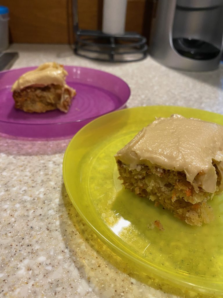
We had the anchor delivered to Beaufort, SC. As we were pulling in to the marina, I found a bakery just down the street and decided to order some curbside pickup for lunch, planning to grab some pastries and other goodies when I arrived. After we tied up and I put on a load of laundry, I headed through the deserted downtown street towards the bakery…only to discover that apparently it had recently moved locations!! After placing a call to the bakery to say that I was standing outside their old and empty location, I would not be able to pick up our order due to being on foot! The person on the phone said that they did delivery (yay!) and offered to drive our order to the marina. I added some cookies, pastries and a loaf of bread to the order and headed back to the boat. As it turns out, the guy who had picked up the phone was the owner of the bakery and he personally delivered our order and refused to accept a delivery fee or a tip. Loving the Southern hospitality! If you ever happen to be in Beaufort, SC, I highly recommend the Beaufort Bakery! The food was yummy, but I don’t have any pictures of that, but I did bake a carrot cake that afternoon :).
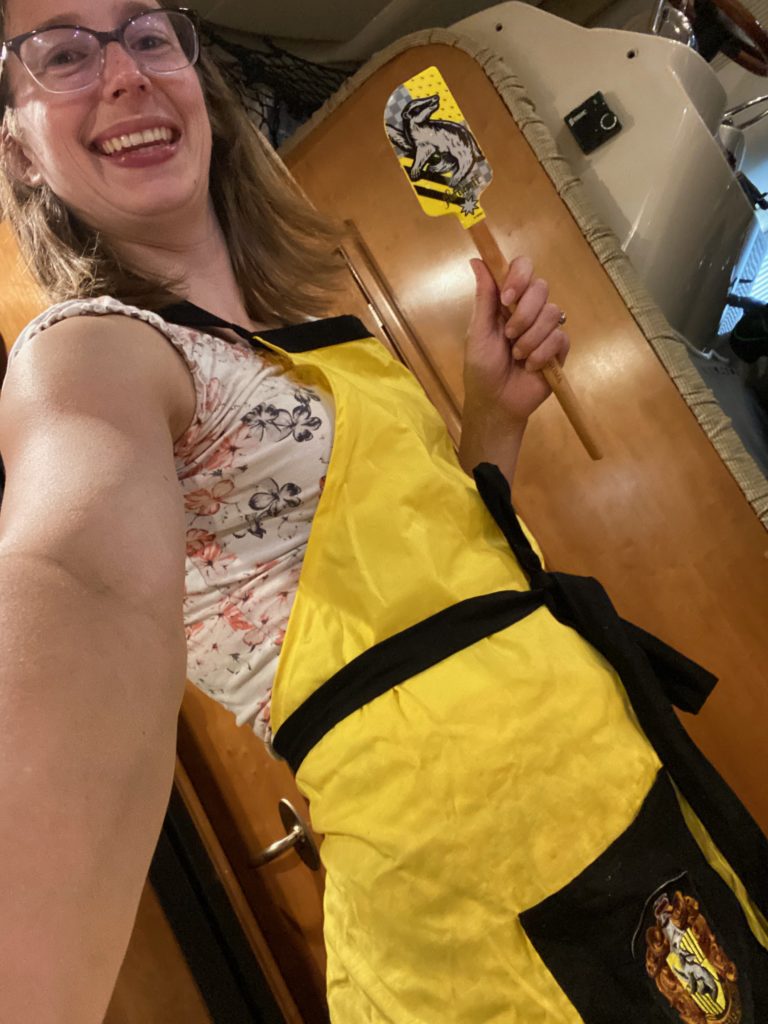
Hufflepuff baking attire required for baking on the boat 🙂
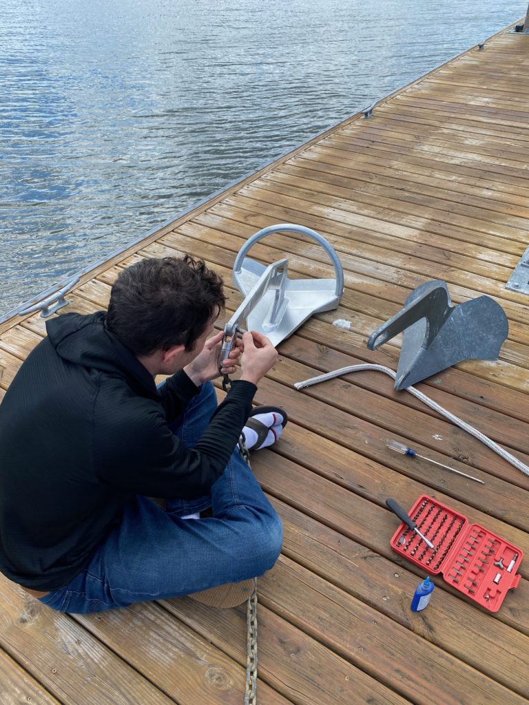
The new anchor had arrived safely to Beaufort, so we got that swapped out.
After leaving Beaufort, we immidiately tested out the new anchor at a spot called White Point Landing, which was basically a nice deep area right off the ICW, a half-way point between Beaufort and Charleston. We spent the day working on the boat, and I did some reading in the evening. Once again we missed the sunset by drone, but I took a quick snap with my phone.
Our next stop was Charleston, a town I had really been looking forward to pre-coronavirus. As the number of confirmed cases continues to rise, and we are more nervous about getting off the boat when in towns, we are finding that it is really not worth it to us to be paying for marina stays when we do not do a whole lot. Therefore, we have now decided to spend as much time as possible on anchor for the next couple of weeks, stopping at a marina every now and then to top up with water and pick up supplies etc. So as I plan our weeks now, I am looking for interesting and highly rated anchorages over towns to visit. We mostly only have close personal contact with the dozens of gulls that constantly follow in our air wake everywhere we go.
At least the gulls here are prettier than standard seagulls — a few contrasting white/black sections
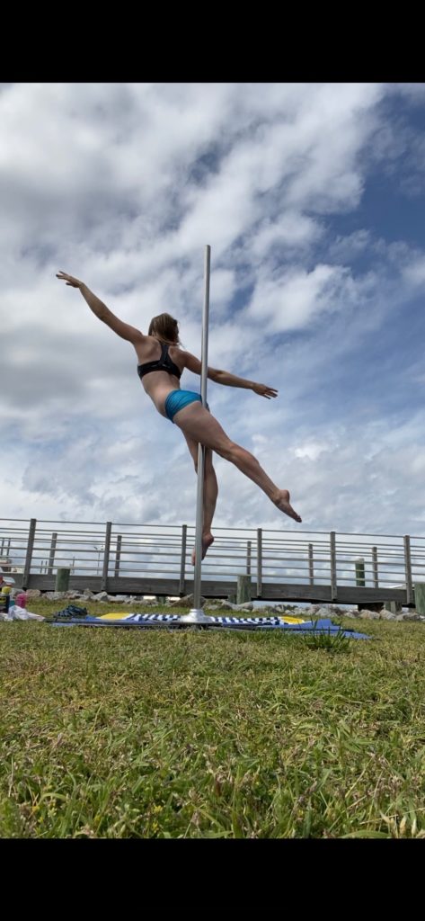
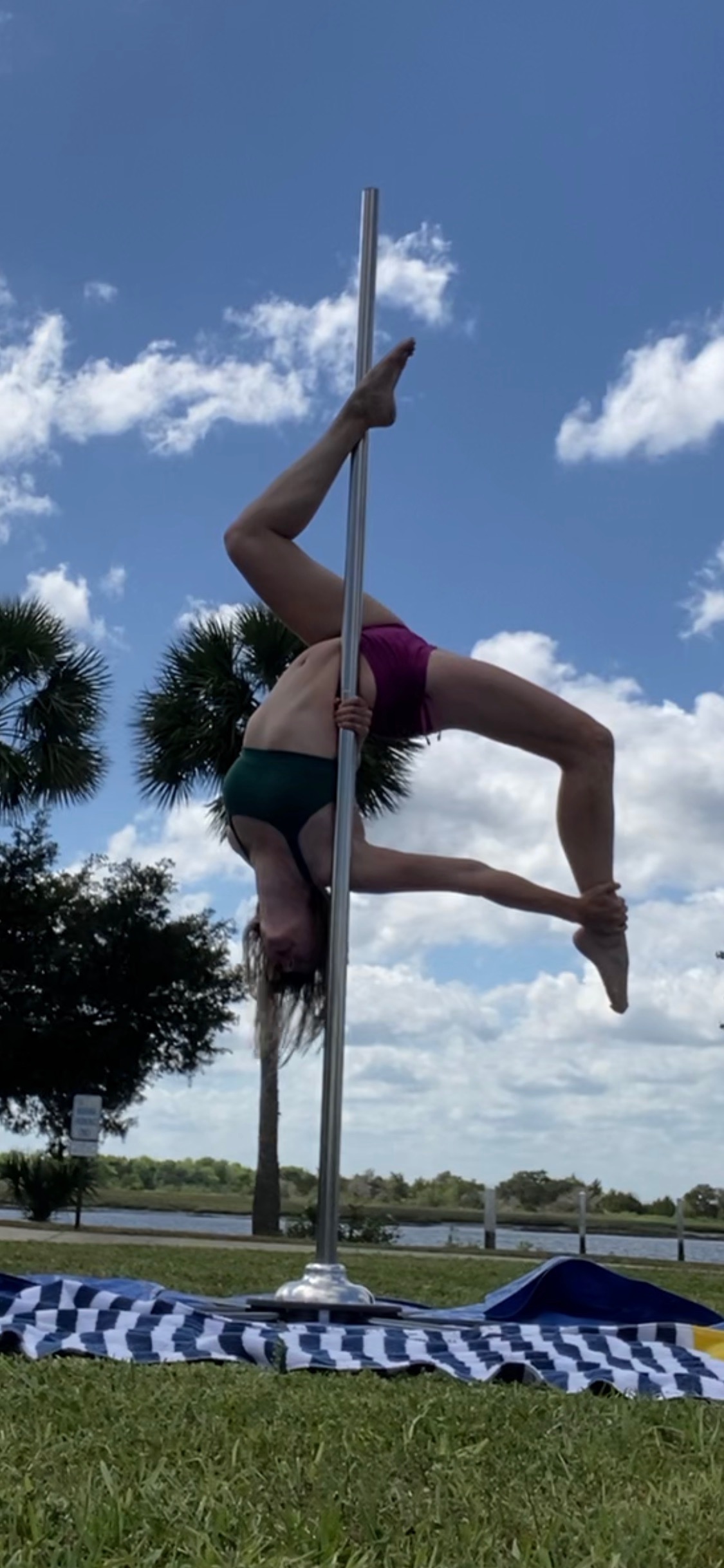
In Charleston, we only got off the boat for a quick trip to Publix (Instacart failed us here by continuing to push out our order by a day for the whole weekend). Since I knew we will likely not be at a marina for a week, I decided to get a bit of pole practice in, building the pole on the dock right behind Highwind! We also forgot to drone video the sunset again!!! (Never fear, I have now set an alarm on my phone for sunset time!!!). We did have two great delivery meals, including another amazing Seafood feast with the best crab we’ve had on the trip so far! Thank goodness I didn’t throw away the crab crackers and crab-forky-things that came with the boat, thinking ‘we don’t fish/crab/shrimp, so we’ll never need those on the boat – any crab we eat will be at a restaurant’!
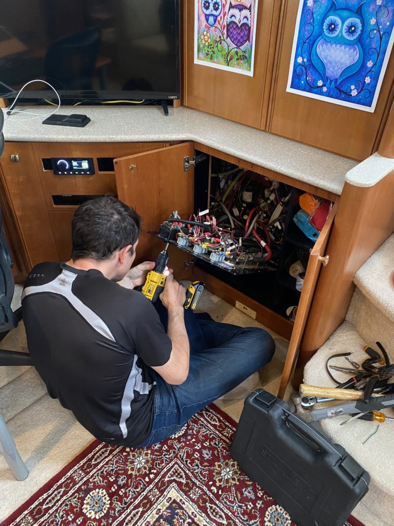
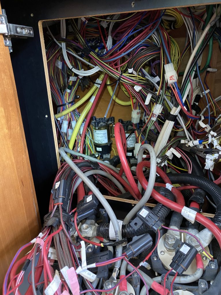
While doing engine checks in Charleston, David first noticed some dripping coolant on the white absorbent rags we keep under the motors. Some more investigation revealed the beginning of a leak from the water pump (coolant pump, not raw water pump.) This somewhat forced our hand on making sure to have a marina to get to, so we planned out the next week to get to a marina next Friday, and started ordering things. Hopefully the marina will still be open when we arrive… While ordering parts, David decided that it’s also time to change out some ancient relays in the cupboard-of-Meridian-factory-shame, so we have some projects for next weekend, it appears.
After fueling up at Brunswick (we are basically taking every opportunity, when the price is right, to fill up), we headed out towards Teakettle Creek to anchor for the night. Another Looper boat pulled in after us and anchored a little further down the creek. Around happy hour time, we loaded up into the dingy with some wine in sippy cups and the drone and headed over to meet them. We had a lovely chat while yelling from our dingy as they stood on their back deck – respectably more than 6 ft apart :). They were a very nice couple from Finland who had shipped their boat to Jacksonville and headed south for a couple of months and were now heading northwards hoping to complete the rest of the loop. After saying goodbye we drove a little further up the creek and David launched the drone. It turned out to be windier than expected up above sea level and we had a very exciting and extremely well executed grab-from-the-air landing before heading back to Highwind for the night.
The next morning, we pulled anchor and headed to Sunbury Seafood Co., a small restaurant that had its own marina. This was 8nm off the ICW, but was a recommended spot in our guide book, and they had assured us they were now offering take out, so we decided to give it a go. It turned out to be a great plan as we had an amazing feast of grilled fish, fresh crab, and a load of Southern sides. Southern hospitality is definitely a thing, since we’ve met nothing but lovely folks in our limited interactions thus far in Georgia (mostly marina and restaurant staff).
A veritable feast
After Sunbury we headed toward Savannah. I had decided to make reservations at the Isle of Hope marina, which is about 8 miles south of downtown Savannah, since we knew that we wouldn’t really be able to do much in the town anyway, and the guidebook recommended the marina. As David described on Facebook, this was our first experience of a no-touch marina landing. Essentially, they caught our lines, then placed a welcome packet and sterilized key card on our boat, then instructed us to call the marina office where we could pay by card over the phone. I wonder how many more marinas will start implementing this, and/or keep this practice once things start to return to normal…
We stayed mostly to ourselves again that night; I’ve even stopped looking for other Great Loop flags on boats in marinas where we stay as we can’t really do that much socializing safely these days. We’d had some packages shipped to ourselves, which included a new water pump and new cell extender paddles for our cell antenna.
Project time!
The water pump that David had previously installed unfortunately never worked correctly, and when on anchor we needed to turn off the pump every time we finished running the water since it wouldn’t stop on its own. It turns out that Jabsco revised the design a few years ago and it’s a known problem that they’re working on redoing. Luckily, despite it being a spare that we’d had sitting in our storage for a couple years, it was still within warranty and Jabsco provided some excellent customer service to help get us a new fixed-pressure pump and accumulator solution that works for our boat/situation.
David has been looking at upgrading our cell antenna paddles for a couple of months, and after continued connection issues, decided to go ahead and order. The folks at WireEng allowed us just to pay the difference for these paddles over our existing setup, so it was a pretty good deal.
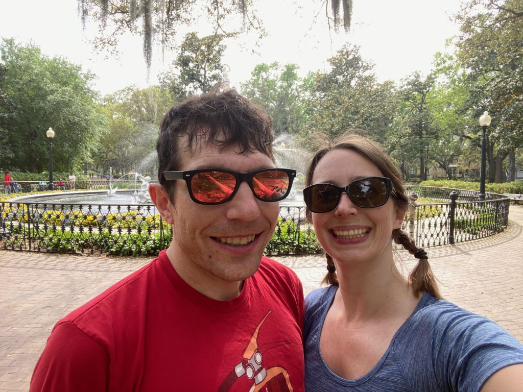
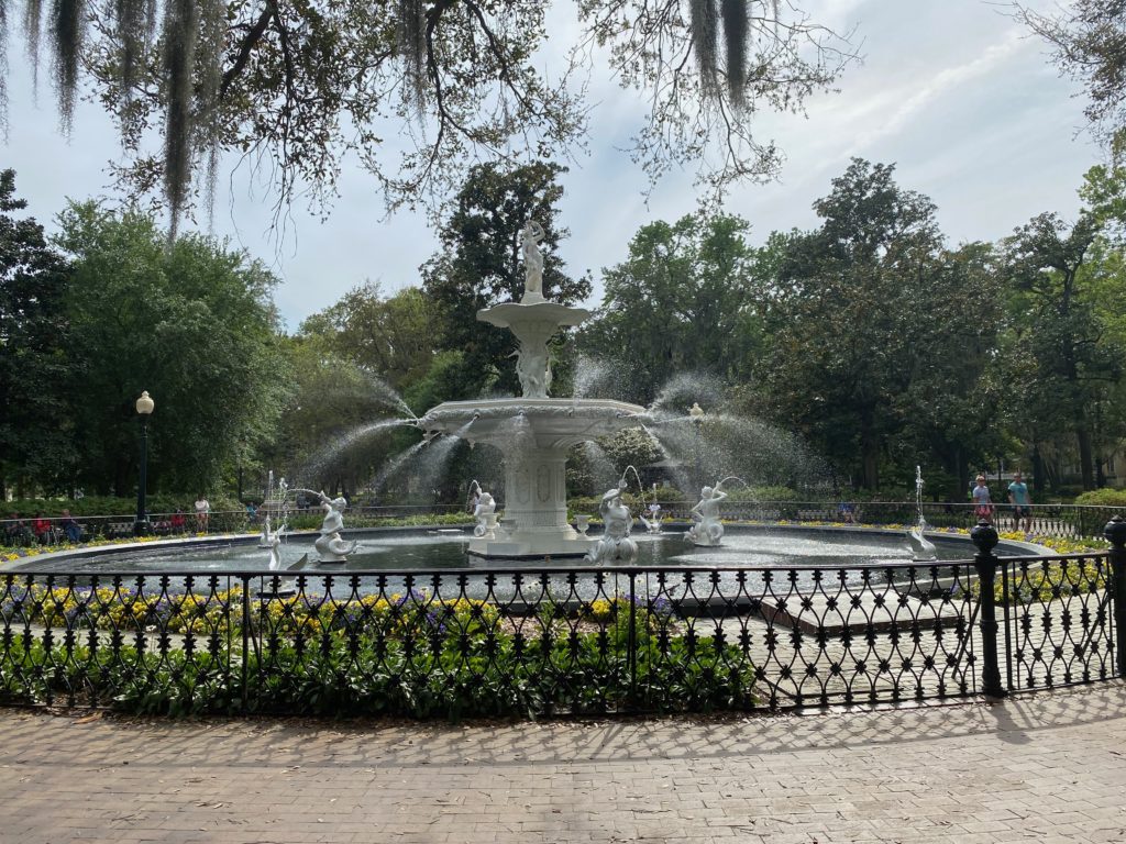
The next day we pulled the bikes off the boat and went for a bike ride to Savannah. It was a lovely ride, though extremely hot, but when we reached the central park in the city, it was full of people, which made us a little nervous, so we headed back to the boat, via a liquor store to top up on some essentials. There were lots of cute places that we passed along the way, so someday we’ll have to come back to Savannah and visit for real! It is interesting how quickly the present situation has made us leery of being anywhere in proximity to people.
Fountain in the park in the center of Savannah
Savannah will be our last stop in Georgia as tomorrow we cross the border into South Carolina. I’ll sign off this post with a *wave* from afar to Atlanta where some of my former colleagues live since we decided to cancel our plans to meet up while we were passing through.
Our Great Loop guidebook gave us three options for our first stop in Georgia, all pretty close to one another – 2 summer-beach-resort islands and an inland town. After getting some advice from a former colleague of mine who hails from Georgia and currently lives in Atlanta, we decided to spend one night on Jekyll Island and possibly have the opportunity to visit the beach and the next night in Brunswick, the inland town, where we’d be able to do another round of provisioning.
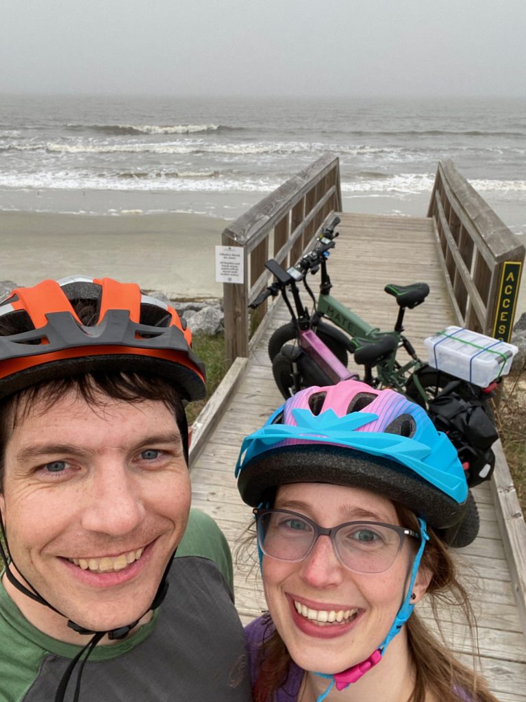
Unfortunately, the day before we arrived on Jekyll Island, the county governor had mandated that all the beaches be closed – so we decided to do a bike ride up the island along the coast, but we were not actually able to set foot on the beach. So sad!
Visiting the beach coronavirus style, by not actually going onto the beach
One of the island restaurants had converted their menu to 100% take-out so we stopped there to pick up some food on the way home. The empty box on the back of David’s bike in the photo above was for carrying our takeout! Despite still being very warm out, the skies darkened and we even worried about being rained on as we returned to the boat, which we were completely unprepared for. However, we were lucky and it remained dry.
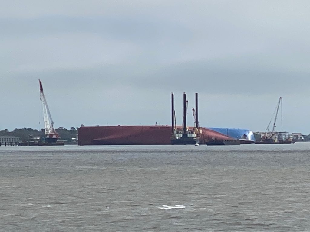
The next day, we headed out toward Brunswick. This was a pretty short ride. At the north tip of Jekyll Island, we had been prepared for an unusual sight…a container ship wreck. It has apparently been there for several months while they try to figure out how to remove it. They are working on building a containment net to then cut it into pieces and cart it out, bit by bit.
Capsized container ship wreck at the northern tip of Jekyll Island
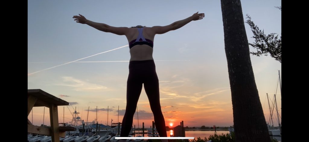
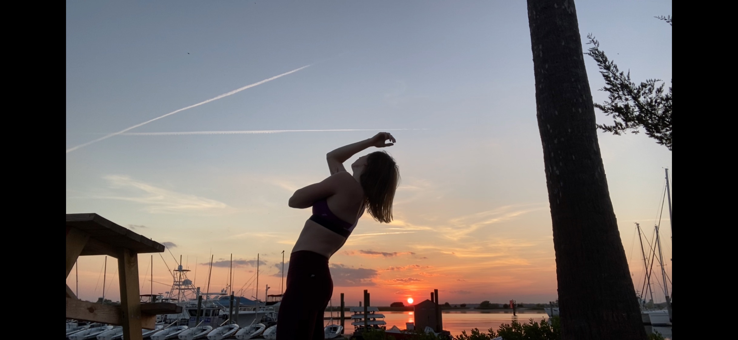
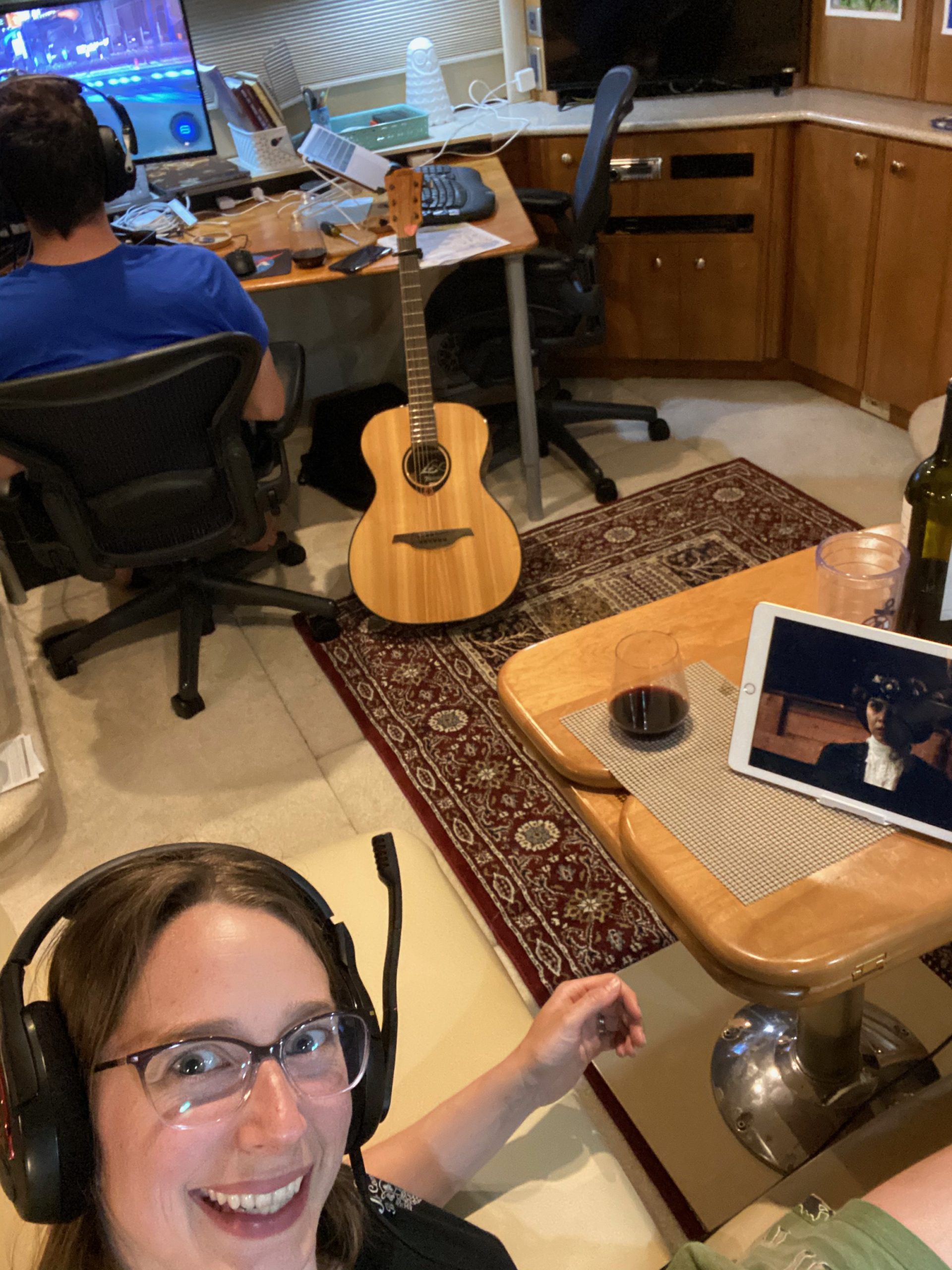
The Brunswick marina was really nice (free unlimited laundry and PBR on tab in a clubhouse, of which we did not partake) and the town seemed really cute. Unfortunately, basically everything other than the grocery and liquor stores are closed, and we are pretty much trying to stay to ourselves at this point, so we contented ourselves with evening strolls, some pole practice in the afternoon, I enjoyed a very bug-filled freestyle dance at sunset, and a couple of quiet evenings to ourselves on the boat with video games, guitar, Netflix, and wine.
The lovely weather and complete lack of anything of any altitude keeps giving us great opportunities for lovely sunsets, though.
A second lovely sunset at Brunswick Marina
People keep asking us if we should abandon the trip in the wake of the pandemic. While it’s disappointing that we can only walk around most of the spots we’re seeing instead of partaking in any of the culture, we still feel that it’s better than the alternative of staying cooped up in our condo in Kirkland. So, until we start getting locked out of places to stay, we’ll keep progressing north and hope that, someday, things are safe to open again.


You must be logged in to post a comment.